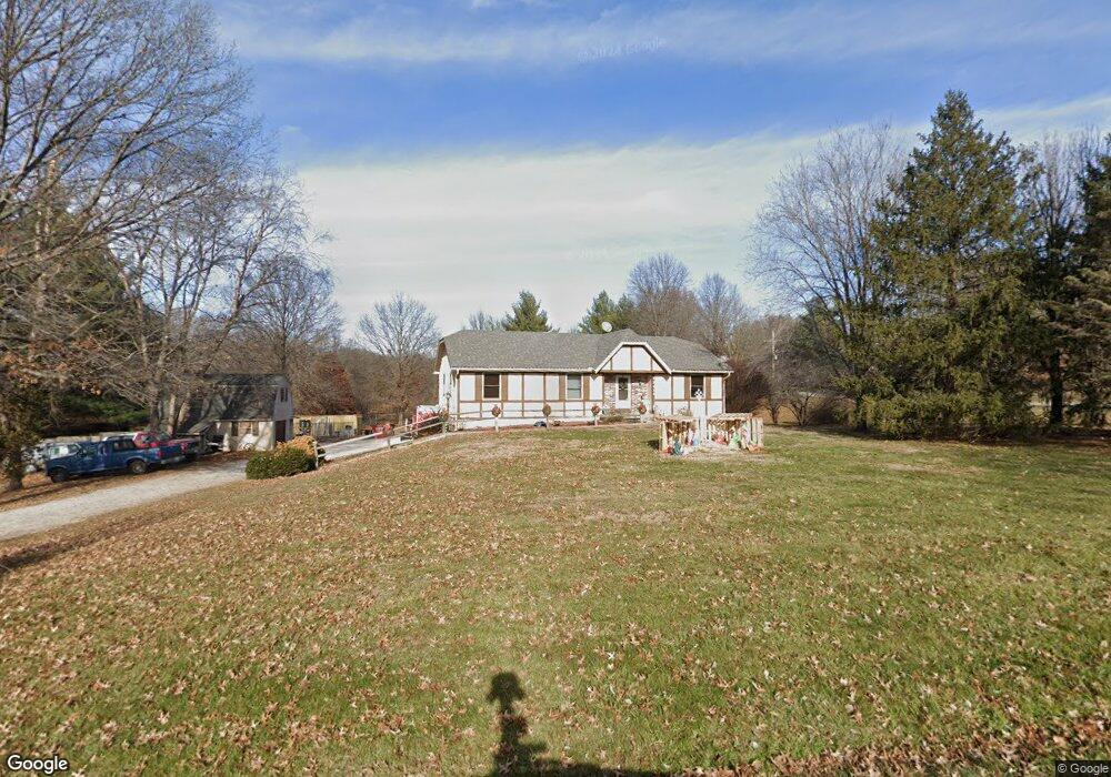
19822 NE 161st St Kearney, MO 64060
Estimated Value: $412,929 - $474,000
3
Beds
3
Baths
1,572
Sq Ft
$286/Sq Ft
Est. Value
About This Home
This home is located at 19822 NE 161st St, Kearney, MO 64060 and is currently estimated at $449,482, approximately $285 per square foot. 19822 NE 161st St is a home located in Clay County with nearby schools including Kearney Junior High School and Kearney High School.
Ownership History
Date
Name
Owned For
Owner Type
Purchase Details
Closed on
Jul 21, 2025
Sold by
Deras Marc and Deras Angela Renee
Bought by
Deras Family Trust and Deras
Current Estimated Value
Purchase Details
Closed on
Oct 25, 2010
Sold by
Ridder William A and Ridder Laverne B
Bought by
Deras Marc
Home Financials for this Owner
Home Financials are based on the most recent Mortgage that was taken out on this home.
Original Mortgage
$160,340
Interest Rate
4.5%
Mortgage Type
FHA
Create a Home Valuation Report for This Property
The Home Valuation Report is an in-depth analysis detailing your home's value as well as a comparison with similar homes in the area
Home Values in the Area
Average Home Value in this Area
Purchase History
| Date | Buyer | Sale Price | Title Company |
|---|---|---|---|
| Deras Family Trust | -- | None Listed On Document | |
| Deras Marc | -- | Chicago Title |
Source: Public Records
Mortgage History
| Date | Status | Borrower | Loan Amount |
|---|---|---|---|
| Previous Owner | Deras Marc | $60,000 | |
| Previous Owner | Deras Marc | $226,000 | |
| Previous Owner | Deras Marc | $231,786 | |
| Previous Owner | Deras Marc J | $83,700 | |
| Previous Owner | Deras Marc | $160,340 |
Source: Public Records
Tax History
| Year | Tax Paid | Tax Assessment Tax Assessment Total Assessment is a certain percentage of the fair market value that is determined by local assessors to be the total taxable value of land and additions on the property. | Land | Improvement |
|---|---|---|---|---|
| 2025 | $2,796 | $50,790 | -- | -- |
| 2024 | $2,796 | $44,190 | -- | -- |
| 2023 | $2,785 | $44,190 | $0 | $0 |
| 2022 | $2,402 | $36,900 | $0 | $0 |
| 2021 | $2,350 | $36,898 | $6,650 | $30,248 |
| 2020 | $2,418 | $34,490 | $0 | $0 |
| 2019 | $2,404 | $34,490 | $0 | $0 |
| 2018 | $2,289 | $31,730 | $0 | $0 |
| 2017 | $2,261 | $31,730 | $5,700 | $26,030 |
| 2016 | $2,261 | $31,730 | $5,700 | $26,030 |
| 2015 | $2,261 | $31,730 | $5,700 | $26,030 |
| 2014 | $2,196 | $30,650 | $5,700 | $24,950 |
Source: Public Records
Map
Nearby Homes
- 201 S Marimack Dr
- 919 E 8th Cir
- 819 Susan St
- 102 W Lawrence St
- 905 Susan St
- 901 Pine Crest Ave
- 22223 NE 159th St
- 9900 NE 172nd St
- 1300 Melissa Ct
- 1202 Noah Ln
- 1204 Noah's Ln
- 1209 Noah's Ln
- 0 W Washington St
- Parcel B W Washington St
- Parcel A W Washington St
- 1307 Stonecrest Dr
- 623 E 13th St
- Parcel C State Route 92
- 21619 NE 150th St
- 200 E 10th St
- 19819 NE 161st St
- 19810 NE 161st St
- 16023 Jesse James Farm Rd
- 16015 Jesse James Farm Rd
- 19807 NE 161st St
- 16121 Jesse James Farm Rd
- 16200 Jesse James Farm Rd
- 16127 Northridge Dr
- 15924 Sugar Plum Rd
- 16119 Northridge Dr
- 19612 NE 161st St
- 19609 NE 161st St
- 16200 Northridge Dr
- 16215 Northridge Dr
- 19602 NE 161st St
- 15922 Sugar Plum Rd
- 16110 Northridge Dr
- 19601 NE 161st St
- 15910 Sugar Plum Rd
- 16217 Jesse James Farm Rd
Your Personal Tour Guide
Ask me questions while you tour the home.