
Landlord's Agent in 2014
Stacey Natale
Mary Enck Realty Inc
(570) 657-7864
112 in this area
163 Total Sales

Estimated Value: $294,000 - $401,000
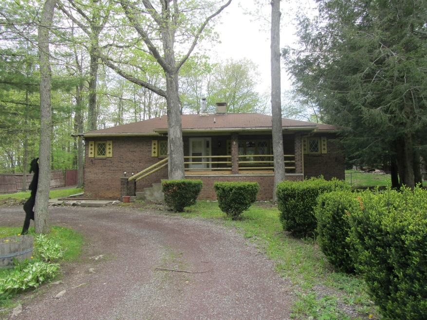
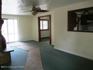
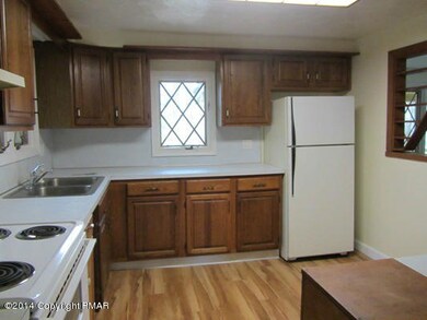
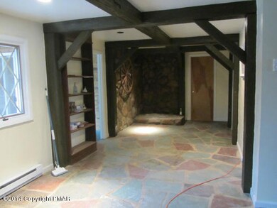
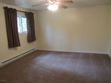
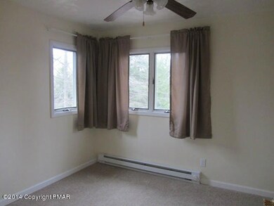
3 Bedroom 2 bathroom Contemporary style home. Located along route 903 for easy access. New Carpet, Paint and Trim throughout. This home has a 2 car garage, kitchen, dining room, family room, and laundry room.
Last Agent to Rent the Property
Mary Enck Realty Inc License #RS206049L Listed on: 03/10/2014
| Date | Buyer | Sale Price | Title Company |
|---|---|---|---|
| Bear Mountain Holdings Llc | $264,000 | None Available | |
| Milestone Investment Group Llc | $85,000 | None Available | |
| J & B Partnership | -- | -- |
| Date | Status | Borrower | Loan Amount |
|---|---|---|---|
| Open | Bear Mountain Holdings Llc | $264,000 |
| Date | Event | Price | List to Sale | Price per Sq Ft |
|---|---|---|---|---|
| 04/04/2014 04/04/14 | Rented | $1,200 | 0.0% | -- |
| 03/11/2014 03/11/14 | Under Contract | -- | -- | -- |
| 03/10/2014 03/10/14 | For Rent | $1,200 | -- | -- |
| Year | Tax Paid | Tax Assessment Tax Assessment Total Assessment is a certain percentage of the fair market value that is determined by local assessors to be the total taxable value of land and additions on the property. | Land | Improvement |
|---|---|---|---|---|
| 2025 | $3,903 | $63,450 | $8,850 | $54,600 |
| 2024 | $3,713 | $63,450 | $8,850 | $54,600 |
| 2023 | $3,666 | $63,450 | $8,850 | $54,600 |
| 2022 | $3,666 | $63,450 | $8,850 | $54,600 |
| 2021 | $3,666 | $63,450 | $8,850 | $54,600 |
| 2020 | $3,666 | $63,450 | $8,850 | $54,600 |
| 2019 | $3,539 | $63,450 | $8,850 | $54,600 |
| 2018 | $3,539 | $63,450 | $8,850 | $54,600 |
| 2017 | $3,539 | $63,450 | $8,850 | $54,600 |
| 2016 | -- | $63,450 | $8,850 | $54,600 |
| 2015 | -- | $63,450 | $8,850 | $54,600 |
| 2014 | -- | $63,450 | $8,850 | $54,600 |
Landlord's Agent in 2014
Stacey Natale
Mary Enck Realty Inc
(570) 657-7864
112 in this area
163 Total Sales
Source: Pocono Mountains Association of REALTORS®
MLS Number: PM-9661
APN: 36-51-A8.05A
Disclaimer: Certain information contained herein is derived from information provided by parties other than Homes.com. All information provided is deemed reliable, but is not guaranteed to be accurate and should be independently verified.
![]() The data relating to real estate for sale on this web site includes listings held by MLS-IDX Participants of the Internet Data Exchange program of the Multiple Listing Service of the Pocono Mountains Association of Realtors®. Listings marked with the Internet Data Exchange logo are not necessarilty the listings of the owner of this web site. All listing data is the copyrighted property of the aforesaid Associations and its MLS-IDX Participants with all rights reserved. The information contained herein is believed to be accurate, but no warranty as such is expressed or implied.
The data relating to real estate for sale on this web site includes listings held by MLS-IDX Participants of the Internet Data Exchange program of the Multiple Listing Service of the Pocono Mountains Association of Realtors®. Listings marked with the Internet Data Exchange logo are not necessarilty the listings of the owner of this web site. All listing data is the copyrighted property of the aforesaid Associations and its MLS-IDX Participants with all rights reserved. The information contained herein is believed to be accurate, but no warranty as such is expressed or implied.