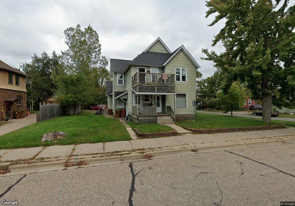
1983 Strongs Ave Stevens Point, WI 54481
Estimated Value: $244,371 - $281,000
4
Beds
3
Baths
--
Sq Ft
9,017
Sq Ft Lot
About This Home
This home is located at 1983 Strongs Ave, Stevens Point, WI 54481 and is currently estimated at $261,343. 1983 Strongs Ave is a home located in Portage County with nearby schools including Jefferson Elementary School, P.J. Jacobs Junior High School, and Stevens Point Area Senior High School.
Ownership History
Date
Name
Owned For
Owner Type
Purchase Details
Closed on
Apr 23, 2018
Sold by
Nicholas Catanese
Bought by
Mirus Properties Llc
Current Estimated Value
Home Financials for this Owner
Home Financials are based on the most recent Mortgage that was taken out on this home.
Original Mortgage
$127,920
Outstanding Balance
$102,121
Interest Rate
4.63%
Mortgage Type
New Conventional
Estimated Equity
$159,222
Purchase Details
Closed on
Dec 11, 2015
Sold by
Catanese Nicholas Nicholas
Bought by
Somers-Hintz Michael C
Create a Home Valuation Report for This Property
The Home Valuation Report is an in-depth analysis detailing your home's value as well as a comparison with similar homes in the area
Home Values in the Area
Average Home Value in this Area
Purchase History
| Date | Buyer | Sale Price | Title Company |
|---|---|---|---|
| Mirus Properties Llc | $159,900 | Anderson Obrien Law Firm | |
| Somers-Hintz Michael C | $127,900 | -- |
Source: Public Records
Mortgage History
| Date | Status | Borrower | Loan Amount |
|---|---|---|---|
| Open | Mirus Properties Llc | $127,920 |
Source: Public Records
Tax History
| Year | Tax Paid | Tax Assessment Tax Assessment Total Assessment is a certain percentage of the fair market value that is determined by local assessors to be the total taxable value of land and additions on the property. | Land | Improvement |
|---|---|---|---|---|
| 2025 | -- | $215,800 | $24,800 | $191,000 |
| 2024 | $41 | $215,800 | $24,800 | $191,000 |
| 2023 | $0 | $215,800 | $24,800 | $191,000 |
| 2022 | $3,321 | $126,900 | $17,600 | $109,300 |
| 2021 | $3,135 | $126,900 | $17,600 | $109,300 |
| 2020 | $3,117 | $126,900 | $17,600 | $109,300 |
| 2019 | $3,096 | $126,900 | $17,600 | $109,300 |
| 2018 | $2,885 | $126,900 | $17,600 | $109,300 |
| 2017 | $2,769 | $126,900 | $17,600 | $109,300 |
| 2016 | $2,509 | $102,900 | $14,500 | $88,400 |
| 2015 | $2,523 | $102,900 | $14,500 | $88,400 |
| 2014 | $2,683 | $102,900 | $14,500 | $88,400 |
Source: Public Records
Map
Nearby Homes
- 1025 Wisconsin St Unit corner of Elk & Wisc
- 1764 Church St
- 2165 Prairie St
- 2316 Wyatt Ave
- 2325 East Ave
- 2116 Lincoln Ave
- 2301 Illinois Ave
- 2812 Water St
- 1532 College Ave Unit 1101/1101A Rogers St
- 1016 3rd St
- 1209 Franklin St
- 1016 Portage St
- 825 Smith St
- 748 Isadore St
- 2517 Clark St
- 1616 Howard Ave
- 2901 Michigan Ave Unit 2903
- 719 Union St
- 909 Illinois Ave
- 2900 Dixon St
- 1981 Strongs Ave Unit 1200 Shaurette Stree
- 1973 Strongs Ave
- 1965 Strongs Ave
- 1980 Church St
- 1972 Church St
- 1980 Strongs Ave
- 1957 Strongs Ave
- 1209 Shaurette St
- 1964 Church St
- 2100 Church St
- 2109 Strongs Ave
- 1124 Shaurette St
- 1964 Strongs Ave
- 2108 Church St
- 1956 Strongs Ave
- 2110 Strongs Ave
- 2117 Strongs Ave
- 1108 Shaurette St
- 1119 Shaurette St
- 2116 Church St
Your Personal Tour Guide
Ask me questions while you tour the home.