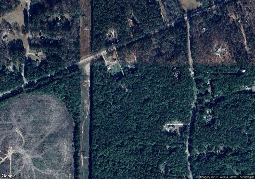
19830 Ga Highway 34 Franklin, GA 30217
Estimated Value: $185,000 - $212,000
2
Beds
1
Bath
960
Sq Ft
$203/Sq Ft
Est. Value
About This Home
This home is located at 19830 Ga Highway 34, Franklin, GA 30217 and is currently estimated at $195,085, approximately $203 per square foot. 19830 Ga Highway 34 is a home located in Heard County with nearby schools including Heard County High School.
Ownership History
Date
Name
Owned For
Owner Type
Purchase Details
Closed on
Jun 5, 2023
Sold by
Davis Gary
Bought by
Shellem Ryan Paul
Current Estimated Value
Purchase Details
Closed on
Mar 7, 2005
Sold by
West Star Investment Llc
Bought by
Wimett M Carroll and Wimett Melisa L
Purchase Details
Closed on
Feb 5, 2003
Sold by
Marshall Gary L
Bought by
West Star Investment Llc
Purchase Details
Closed on
Jan 24, 2003
Sold by
Ingham Mark W
Bought by
Marshall Gary L
Purchase Details
Closed on
Nov 10, 1990
Sold by
Thomas Discount Co
Bought by
Ingham Mark W
Purchase Details
Closed on
Feb 1, 1990
Sold by
Cole David Scott
Bought by
Thomas Discount Co
Purchase Details
Closed on
Mar 1, 1987
Bought by
Cole David Scott
Create a Home Valuation Report for This Property
The Home Valuation Report is an in-depth analysis detailing your home's value as well as a comparison with similar homes in the area
Home Values in the Area
Average Home Value in this Area
Purchase History
| Date | Buyer | Sale Price | Title Company |
|---|---|---|---|
| Shellem Ryan Paul | $157,000 | -- | |
| Wimett M Carroll | -- | -- | |
| West Star Investment Llc | $30,000 | -- | |
| Marshall Gary L | $25,000 | -- | |
| Ingham Mark W | $31,900 | -- | |
| Thomas Discount Co | -- | -- | |
| Cole David Scott | -- | -- |
Source: Public Records
Tax History Compared to Growth
Tax History
| Year | Tax Paid | Tax Assessment Tax Assessment Total Assessment is a certain percentage of the fair market value that is determined by local assessors to be the total taxable value of land and additions on the property. | Land | Improvement |
|---|---|---|---|---|
| 2024 | $1,033 | $51,249 | $3,990 | $47,259 |
| 2023 | $301 | $49,254 | $3,325 | $45,929 |
| 2022 | $403 | $19,306 | $2,062 | $17,244 |
| 2021 | $331 | $15,081 | $2,062 | $13,019 |
| 2020 | $331 | $14,897 | $2,062 | $12,835 |
| 2019 | $331 | $14,897 | $2,062 | $12,835 |
| 2018 | $337 | $14,897 | $2,062 | $12,835 |
| 2017 | $384 | $17,014 | $1,881 | $15,133 |
| 2016 | $384 | $17,014 | $1,881 | $15,133 |
| 2015 | -- | $17,092 | $3,462 | $13,630 |
| 2014 | -- | $17,098 | $3,462 | $13,636 |
| 2013 | -- | $19,941 | $3,462 | $16,479 |
Source: Public Records
Map
Nearby Homes
- 19860 Ga Hwy 34
- 19860 Georgia 34
- 220 Dogwood Rd
- 642 Elm Rd
- 0 Thomas Powers Rd Unit 10569332
- 0 Thomas Powers Rd Unit 5.54+/- ACRES
- 0 Thomas Powers Rd Unit 24228819
- 192 Hawk Rd
- 38 Daniel Cir
- 1227 J D Walton Rd
- 17426 Georgia 34
- 189 & 191 W Plantation Dr
- 0 Newman Rd Unit 10559645
- 815 Birch Rd
- 323 Newman Rd
- 4230 Joe Stephens Rd
- 4398 Georgia 34
- 712 Boy Scout Rd
- 0 Bill Cline Rd Unit 16661249
- 927 Boy Scout Rd
- 19830 Georgia 34
- 19808 Ga Highway 34
- 19856 Ga Highway 34
- 19860 Ga Highway 34
- 204 Elm Rd
- 260 Elm Rd
- 324 Elm Rd
- 240 Elm Rd
- 62 Dogwood Rd
- 382 Elm Rd
- 46 Dogwood Rd
- 0 Elm Rd Unit 10191064
- 0 Elm Rd Unit 7290629
- 0 Elm Rd Unit 3286846
- 0 Elm Rd Unit 8515248
- 0 Elm Rd Unit 8049180
- 0 Elm Rd Unit 7564429
- 0 Elm Rd Unit 7282166
- 0 Elm Rd Unit 7160787
- 0 Elm Rd Unit Lot 231 8977718
