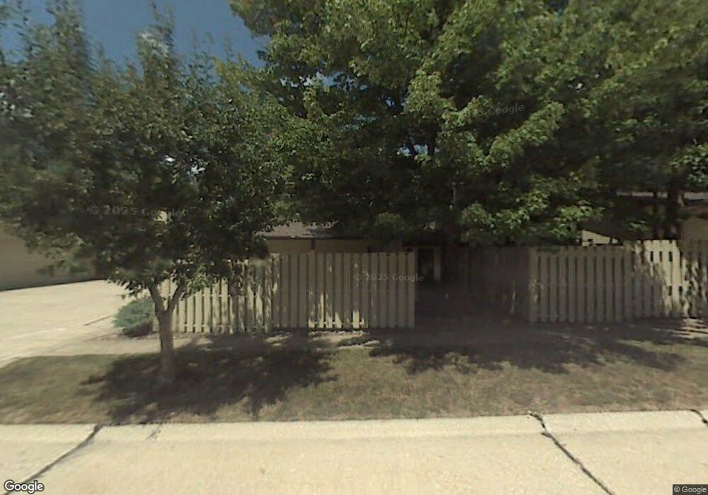
19834 Dell Dr Unit 7006 Strongsville, OH 44149
Estimated Value: $198,000 - $235,000
3
Beds
3
Baths
1,428
Sq Ft
$156/Sq Ft
Est. Value
About This Home
This home is located at 19834 Dell Dr Unit 7006, Strongsville, OH 44149 and is currently estimated at $222,739, approximately $155 per square foot. 19834 Dell Dr Unit 7006 is a home located in Cuyahoga County with nearby schools including Strongsville High School, Strongsville Academy, and Sts Joseph & John Interparochial School.
Ownership History
Date
Name
Owned For
Owner Type
Purchase Details
Closed on
Jul 2, 2012
Sold by
Mueller Robert E and Mueller Stephanie
Bought by
Hierro Stephen T and Hierro Rose Marie
Current Estimated Value
Purchase Details
Closed on
May 30, 2001
Sold by
Nowlin Betty M
Bought by
Mueller Robert E
Purchase Details
Closed on
Sep 25, 1980
Sold by
Champion Thomas R
Bought by
Nowlin Betty M
Purchase Details
Closed on
Aug 10, 1977
Sold by
Demby Mary Jo
Bought by
Champion Thomas R
Purchase Details
Closed on
Oct 8, 1976
Sold by
Champion James M and Champion Elaine
Bought by
Demby Mary Jo
Purchase Details
Closed on
Jan 1, 1975
Bought by
Champion James M and Champion Elaine
Create a Home Valuation Report for This Property
The Home Valuation Report is an in-depth analysis detailing your home's value as well as a comparison with similar homes in the area
Home Values in the Area
Average Home Value in this Area
Purchase History
| Date | Buyer | Sale Price | Title Company |
|---|---|---|---|
| Hierro Stephen T | $79,900 | Stewart Title Agency | |
| Mueller Robert E | $117,000 | Real Estate Title | |
| Nowlin Betty M | $69,900 | -- | |
| Champion Thomas R | $53,400 | -- | |
| Demby Mary Jo | $47,000 | -- | |
| Champion James M | -- | -- |
Source: Public Records
Tax History Compared to Growth
Tax History
| Year | Tax Paid | Tax Assessment Tax Assessment Total Assessment is a certain percentage of the fair market value that is determined by local assessors to be the total taxable value of land and additions on the property. | Land | Improvement |
|---|---|---|---|---|
| 2024 | $2,348 | $59,815 | $5,985 | $53,830 |
| 2023 | $2,391 | $47,360 | $4,760 | $42,600 |
| 2022 | $2,400 | $47,360 | $4,760 | $42,600 |
| 2021 | $2,381 | $47,360 | $4,760 | $42,600 |
| 2020 | $1,891 | $35,880 | $3,610 | $32,270 |
| 2019 | $1,836 | $102,500 | $10,300 | $92,200 |
| 2018 | $1,666 | $35,880 | $3,610 | $32,270 |
| 2017 | $1,493 | $31,260 | $3,570 | $27,690 |
| 2016 | $1,481 | $31,260 | $3,570 | $27,690 |
| 2015 | $1,658 | $31,260 | $3,570 | $27,690 |
| 2014 | $1,658 | $33,600 | $3,850 | $29,750 |
Source: Public Records
Map
Nearby Homes
- 19767 Dell Dr
- 12694 Ionia Ct
- 19982 Westwood Dr
- 12647 Edgepark Cir
- 12385 Corinth Ct
- 12539 Olympus Way
- 13066 Olympus Way
- 13156 Olympus Way
- 13099 Olympus Way
- 13237 Tomson Dr
- 13236 Tomson Dr
- 12651 Alameda Dr
- 20469 Westwood Park Blvd
- 14112 Settlers Way
- 19620 Porters Ln Unit 15F
- 19160 Wheelers Ln
- 11179 Fawn Meadow Ln
- 11432 Pearl Rd
- 11499 Pearl Rd Unit A106
- 11479 Pearl Rd Unit A101
- 19798 Dell Dr Unit 7008
- 19826 Dell Dr Unit 7007
- 19842 Dell Dr Unit 7005
- 19850 Dell Dr
- 19858 Dell Dr
- 19842 Dell Dr Unit 7
- 19850 Dell Dr Unit 7004
- 19858 Dell Dr Unit 7003
- 12784 Ionia Ct
- 12773 Ionia Ct
- 12766 Ionia Ct
- 19864 Dell Dr Unit 7002
- 19872 Dell Dr
- 12755 Ionia Ct
- 12748 Ionia Ct
- 12902 Dell Ridge Ct Unit 7033
- 12891 Dell Ridge Ct Unit 7027
- 19863 Dell Dr Unit 7037
- 19859 Dell Dr