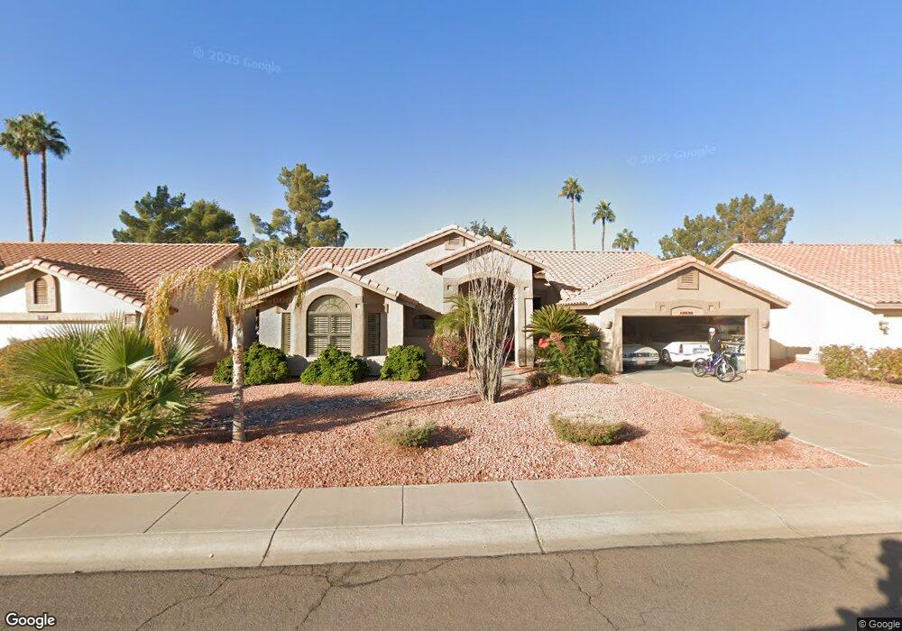
19836 N 97th Dr Peoria, AZ 85382
Estimated Value: $480,913 - $625,000
2
Beds
2
Baths
2,191
Sq Ft
$243/Sq Ft
Est. Value
About This Home
This home is located at 19836 N 97th Dr, Peoria, AZ 85382 and is currently estimated at $533,478, approximately $243 per square foot. 19836 N 97th Dr is a home located in Maricopa County with nearby schools including Apache Elementary School, Sunrise Mountain High School, and Sonoran Science Academy-Peoria.
Ownership History
Date
Name
Owned For
Owner Type
Purchase Details
Closed on
Apr 18, 2011
Sold by
Hill Marvin L and Hill Susan A
Bought by
Chornawka Brian
Current Estimated Value
Purchase Details
Closed on
Sep 26, 2008
Sold by
Patterson Dennis M and Patterson Leah F
Bought by
Hill Marvin L and Hill Susan A
Purchase Details
Closed on
Sep 22, 2004
Sold by
Moore Patricia T
Bought by
Patterson Dennis and Patterson Leah
Purchase Details
Closed on
Jul 23, 1999
Sold by
Friess Robert J and Friess Susan L
Bought by
Moore Robert A and Moore Patricia T
Create a Home Valuation Report for This Property
The Home Valuation Report is an in-depth analysis detailing your home's value as well as a comparison with similar homes in the area
Home Values in the Area
Average Home Value in this Area
Purchase History
| Date | Buyer | Sale Price | Title Company |
|---|---|---|---|
| Chornawka Brian | $216,000 | Magnus Title Agency | |
| Hill Marvin L | $285,000 | Grand Cyn Title Agency Inc | |
| Patterson Dennis | $234,000 | Grand Canyon Title Agency In | |
| Moore Robert A | $185,000 | Chicago Title Insurance Co |
Source: Public Records
Tax History Compared to Growth
Tax History
| Year | Tax Paid | Tax Assessment Tax Assessment Total Assessment is a certain percentage of the fair market value that is determined by local assessors to be the total taxable value of land and additions on the property. | Land | Improvement |
|---|---|---|---|---|
| 2025 | $2,767 | $29,606 | -- | -- |
| 2024 | $2,270 | $28,196 | -- | -- |
| 2023 | $2,270 | $35,000 | $7,000 | $28,000 |
| 2022 | $2,223 | $28,950 | $5,790 | $23,160 |
| 2021 | $2,380 | $27,420 | $5,480 | $21,940 |
| 2020 | $2,402 | $26,170 | $5,230 | $20,940 |
| 2019 | $2,324 | $24,300 | $4,860 | $19,440 |
| 2018 | $2,247 | $23,000 | $4,600 | $18,400 |
| 2017 | $2,248 | $21,260 | $4,250 | $17,010 |
| 2016 | $2,226 | $20,060 | $4,010 | $16,050 |
| 2015 | $2,077 | $19,960 | $3,990 | $15,970 |
Source: Public Records
Map
Nearby Homes
- 9832 W Behrend Dr
- 9869 W Chino Dr
- 9704 W Tonto Ln
- 19702 N 98th Ln
- 19562 N 96th Ln Unit 80
- 19605 N Pine Springs Dr
- 9706 W Rimrock Dr Unit 95
- 9708 W Rimrock Dr Unit 96
- 9627 W Menadota Dr
- 9551 W Sierra Pinta Dr
- 9856 W Rimrock Dr
- 9901 W Mescalero Ct
- 9455 W Behrend Dr
- 9839 W Utopia Rd
- 19838 N Pine Springs Dr
- 9734 W Kerry Ln Unit 14
- 9510 W Menadota Dr
- 9727 W Kerry Ln
- 19120 N 98th Ln Unit 112
- 19222 N Palo Verde Dr
- 19832 N 97th Dr
- 19840 N 97th Dr
- 9717 W Chino Dr
- 19844 N 97th Dr
- 9716 W Marco Polo Rd
- 9827 W Marco Polo Rd
- 19837 N 98th Ave
- 19847 N 98th Ave
- 9725 W Marco Polo Rd
- 9712 W Marco Polo Rd
- 9833 W Marco Polo Rd
- 9721 W Marco Polo Rd
- 9728 W Escuda Dr
- 9713 W Chino Dr
- 9719 W Escuda Dr
- 19857 N 98th Ave
- 19721 N 98th Ave
- 9802 W Behrend Dr
- 9839 W Marco Polo Rd
- 9708 W Marco Polo Rd