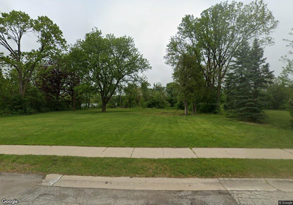
1984 Big Bend Dr Des Plaines, IL 60016
Estimated Value: $437,211
4
Beds
3
Baths
2,158
Sq Ft
$203/Sq Ft
Est. Value
About This Home
This home is located at 1984 Big Bend Dr, Des Plaines, IL 60016 and is currently estimated at $437,211, approximately $202 per square foot. 1984 Big Bend Dr is a home located in Cook County with nearby schools including North Elementary School, Chippewa Middle School, and Maine West High School.
Ownership History
Date
Name
Owned For
Owner Type
Purchase Details
Closed on
Mar 11, 2020
Sold by
City Of Des Plaines
Bought by
City Of Des Plaines
Current Estimated Value
Purchase Details
Closed on
Feb 9, 2017
Sold by
Us Bank Na
Bought by
The City Of Des Planes
Purchase Details
Closed on
May 6, 2016
Sold by
Us Bank Na
Bought by
Gmat Legal Title Trust 2014 1 and Us Bank Na
Purchase Details
Closed on
Apr 5, 2016
Sold by
Hooper Tom A and Hooper Tommy A
Bought by
Gra Legal Title Trust and Us Bank Na
Purchase Details
Closed on
Apr 7, 2000
Sold by
Heller Stanley R and Moderhock Donald R
Bought by
Hooper Tom A
Home Financials for this Owner
Home Financials are based on the most recent Mortgage that was taken out on this home.
Original Mortgage
$180,200
Interest Rate
10%
Create a Home Valuation Report for This Property
The Home Valuation Report is an in-depth analysis detailing your home's value as well as a comparison with similar homes in the area
Home Values in the Area
Average Home Value in this Area
Purchase History
| Date | Buyer | Sale Price | Title Company |
|---|---|---|---|
| City Of Des Plaines | -- | Attorney | |
| The City Of Des Planes | -- | Greater Illinois Title | |
| Gmat Legal Title Trust 2014 1 | -- | None Available | |
| Gra Legal Title Trust | -- | Gra Legal Title Trust | |
| Hooper Tom A | $212,000 | -- |
Source: Public Records
Mortgage History
| Date | Status | Borrower | Loan Amount |
|---|---|---|---|
| Previous Owner | Hooper Tom A | $180,200 |
Source: Public Records
Tax History Compared to Growth
Tax History
| Year | Tax Paid | Tax Assessment Tax Assessment Total Assessment is a certain percentage of the fair market value that is determined by local assessors to be the total taxable value of land and additions on the property. | Land | Improvement |
|---|---|---|---|---|
| 2024 | $7,043 | -- | -- | -- |
| 2023 | $7,043 | -- | -- | -- |
| 2022 | $7,043 | -- | -- | -- |
| 2021 | $7,043 | $0 | $0 | $0 |
| 2020 | $7,043 | $0 | $0 | $0 |
| 2019 | $0 | $0 | $0 | $0 |
| 2018 | $0 | $0 | $0 | $0 |
| 2017 | $7,043 | $23,972 | $6,490 | $17,482 |
| 2016 | $6,661 | $23,972 | $6,490 | $17,482 |
| 2015 | $7,006 | $23,175 | $5,644 | $17,531 |
| 2014 | $5,555 | $23,175 | $5,644 | $17,531 |
| 2013 | $5,284 | $20,545 | $5,644 | $14,901 |
Source: Public Records
Map
Nearby Homes
- 85 Bender Rd
- 9460 Bay Colony Dr Unit 3N
- 9390 Bay Colony Dr Unit 3N
- 9388 Bay Colony Dr Unit 1S
- 1578 Woodland Ave Unit D
- 475 Bellaire Ave
- 180 N East River Rd
- 182 E River Rd
- 184 E River Rd
- 186 E River Rd
- 555 S River Rd Unit 301
- 183 N East River Rd Unit F-4
- 183 N East River Rd Unit D-3
- 183 N East River Rd Unit C1
- 9427 Bay Colony Dr Unit 2S
- 9676 Reding Cir
- 430 Oak St
- 225 N East River Rd
- 1433 Willow Ave
- 9413 Meadow Ln
- 1984 Big Bend Dr
- 1972 Big Bend Dr
- 1990 Big Bend Dr
- 1968 Big Bend Dr
- 1994 Big Bend Dr
- 1964 Big Bend Dr
- 1998 Big Bend Dr
- 1977 Big Bend Dr
- 1958 Big Bend Dr
- 1971 Big Bend Dr
- 1981 Big Bend Dr
- 1967 Big Bend Dr
- 1987 Big Bend Dr
- 1991 Big Bend Dr
- 1954 Big Bend Dr
- 1963 Big Bend Dr
- 1995 Big Bend Dr
- 1959 Big Bend Dr
- 1999 Big Bend Dr
- 1948 Big Bend Dr
