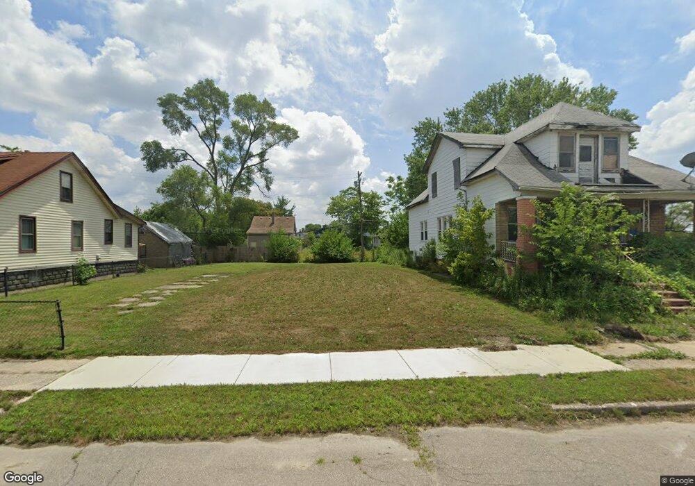
1984 Burnside St HamtraMcK, MI 48212
Campau-Banglatown NeighborhoodEstimated Value: $110,000 - $193,000
5
Beds
2
Baths
1,419
Sq Ft
$102/Sq Ft
Est. Value
About This Home
This home is located at 1984 Burnside St, HamtraMcK, MI 48212 and is currently estimated at $144,333, approximately $101 per square foot. 1984 Burnside St is a home located in Wayne County with nearby schools including Davison Elementary-Middle School, Charles L. Spain Elementary-Middle School, and Edward 'Duke' Ellington Conservatory of Music and Art.
Ownership History
Date
Name
Owned For
Owner Type
Purchase Details
Closed on
Mar 17, 2022
Sold by
Detroit Land Bank Authority
Bought by
Al-Shaikh Hani
Current Estimated Value
Purchase Details
Closed on
Jan 13, 2016
Sold by
Wayne County Treasurer
Bought by
Detroit Land Bank Authority
Purchase Details
Closed on
Jul 22, 2013
Sold by
Toledo Investment Team Llc
Bought by
Ford E B
Purchase Details
Closed on
Apr 16, 2013
Sold by
Stonecrest Income & Opportunity Fund I L
Bought by
Toledo Investment Team Llc
Purchase Details
Closed on
May 25, 2010
Sold by
Deutsche Bank National Trust Company
Bought by
Stonecrest Income & Opportunity Fund I L
Purchase Details
Closed on
Jun 10, 2009
Sold by
Banks David and Banks David
Bought by
Deutsche Bank National Trust Company
Purchase Details
Closed on
Mar 4, 2009
Sold by
Banks Lovie
Bought by
Banks Lovie and Estate Of David Banks Sr
Purchase Details
Closed on
Mar 16, 2006
Sold by
Banks David and Banks Grace
Bought by
Banks David
Create a Home Valuation Report for This Property
The Home Valuation Report is an in-depth analysis detailing your home's value as well as a comparison with similar homes in the area
Home Values in the Area
Average Home Value in this Area
Purchase History
| Date | Buyer | Sale Price | Title Company |
|---|---|---|---|
| Al-Shaikh Hani | -- | None Listed On Document | |
| Detroit Land Bank Authority | -- | None Available | |
| Ford E B | $860 | None Available | |
| Toledo Investment Team Llc | $301 | None Available | |
| Stonecrest Income & Opportunity Fund I L | $2,500 | Fidelity Land Title Agency O | |
| Deutsche Bank National Trust Company | $4,250 | None Available | |
| Banks Lovie | -- | None Available | |
| Banks David | -- | None Available |
Source: Public Records
Tax History Compared to Growth
Tax History
| Year | Tax Paid | Tax Assessment Tax Assessment Total Assessment is a certain percentage of the fair market value that is determined by local assessors to be the total taxable value of land and additions on the property. | Land | Improvement |
|---|---|---|---|---|
| 2025 | $23 | $900 | $0 | $0 |
| 2024 | $23 | $300 | $0 | $0 |
| 2023 | $23 | $300 | $0 | $0 |
| 2022 | $0 | $0 | $0 | $0 |
| 2021 | $0 | $0 | $0 | $0 |
| 2020 | $0 | $0 | $0 | $0 |
| 2019 | $0 | $0 | $0 | $0 |
| 2018 | $0 | $0 | $0 | $0 |
| 2017 | $1,066 | $0 | $0 | $0 |
| 2016 | $240 | $0 | $0 | $0 |
| 2015 | $1,066 | $12,000 | $0 | $0 |
| 2013 | $1,033 | $14,936 | $0 | $0 |
| 2010 | -- | $21,899 | $399 | $21,500 |
Source: Public Records
Map
Nearby Homes
- 2020 Halleck St
- 2139 Mcpherson St
- 2132 Mclean St
- 12133 Fleming St
- 12051 Fleming St
- 12015 Lumpkin St
- 2358 Neibel St
- 13100 Dequindre St
- 13108 Dequindre St
- 13114 Dequindre St
- 11614 Nagel St
- 11609 Saint Aubin St
- 11603 Lumpkin St
- 2657 Botsford St
- 13120 Dequindre St
- 11524 Nagel St
- 2417 Casmere St
- 11399 Lumpkin St
- 12140 Mitchell St
- 2405 Burger St
- 1978 Burnside St
- 1990 Burnside St
- 1996 Burnside St
- 1985 Mcpherson St
- 1991 Mcpherson St
- 1981 Mcpherson St
- 1960 Burnside St
- 2010 Burnside St
- 1973 Mcpherson St
- 1985 Burnside St
- 1979 Burnside St
- 1991 Burnside St
- 1975 Burnside St
- 1997 Burnside St
- 1969 Burnside St
- 1967 Burnside St
- 2020 Burnside St
- 2009 Burnside St
- 1965 Burnside St
- 2015 Burnside St