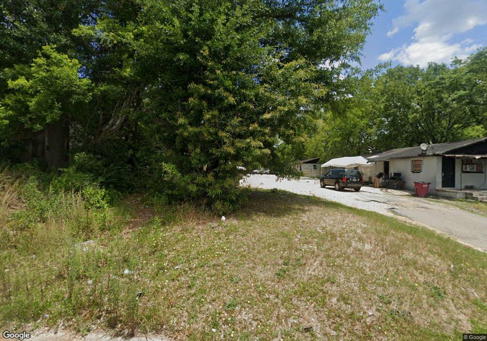
1984 Cedar Ave Macon, GA 31204
Estimated Value: $74,000 - $115,000
3
Beds
1
Bath
1,160
Sq Ft
$80/Sq Ft
Est. Value
About This Home
This home is located at 1984 Cedar Ave, Macon, GA 31204 and is currently estimated at $92,667, approximately $79 per square foot. 1984 Cedar Ave is a home located in Bibb County with nearby schools including Hartley Elementary School, Southwest High School, and Cirrus Charter Academy.
Ownership History
Date
Name
Owned For
Owner Type
Purchase Details
Closed on
Aug 4, 2024
Sold by
Carter Kenneth and Mccord Samuel Wade
Bought by
Macon-Bibb County Land Bank Authority
Current Estimated Value
Purchase Details
Closed on
Aug 26, 2021
Sold by
Macon Bibb County Land Bank Authority
Bought by
Cuzzo Investments Llc and Top Notch Home Services Llc
Purchase Details
Closed on
Aug 3, 2012
Sold by
Skipper Raymond
Bought by
Carter Kenneth
Purchase Details
Closed on
Feb 6, 2004
Create a Home Valuation Report for This Property
The Home Valuation Report is an in-depth analysis detailing your home's value as well as a comparison with similar homes in the area
Home Values in the Area
Average Home Value in this Area
Purchase History
| Date | Buyer | Sale Price | Title Company |
|---|---|---|---|
| Macon-Bibb County Land Bank Authority | $4,577 | None Listed On Document | |
| Cuzzo Investments Llc | $75,000 | None Available | |
| Carter Kenneth | -- | None Available | |
| -- | $67,000 | -- |
Source: Public Records
Tax History Compared to Growth
Tax History
| Year | Tax Paid | Tax Assessment Tax Assessment Total Assessment is a certain percentage of the fair market value that is determined by local assessors to be the total taxable value of land and additions on the property. | Land | Improvement |
|---|---|---|---|---|
| 2025 | $78 | $3,154 | $3,154 | $0 |
| 2024 | $80 | $3,154 | $3,154 | $0 |
| 2023 | $273 | $9,231 | $2,175 | $7,056 |
| 2022 | $282 | $1,982 | $1,327 | $655 |
| 2021 | $312 | $1,982 | $1,327 | $655 |
| 2020 | $77 | $1,982 | $1,327 | $655 |
| 2019 | $78 | $1,982 | $1,327 | $655 |
| 2018 | $299 | $1,982 | $1,327 | $655 |
| 2017 | $120 | $3,194 | $1,327 | $1,867 |
| 2016 | $111 | $3,194 | $1,327 | $1,867 |
| 2015 | $156 | $3,194 | $1,327 | $1,867 |
| 2014 | $274 | $4,860 | $2,527 | $2,334 |
Source: Public Records
Map
Nearby Homes
- 210 Moseley Ave
- 2125 Cedar Ave
- 2032 Vining Cir
- 710 Poppy Ave
- 466 Petunia Ave
- 1049 Anthony Rd
- 1045 Anthony Rd
- 576 Pansy Ave
- 1545 Anthony Rd
- 2678 Mercer University Dr
- 2249 Lowe St
- 1191 Carroll St
- 430 Daffodil St
- 1580 Marigold Ave
- 1144 Carroll St
- 1121 Carroll St
- 2349 Mason St
- 1568 Marigold Ave
- 284 Grosso Ave
- 755 Grosso Ave
- 1970 Cedar Ave
- 1988 Cedar Ave
- 136 Moseley Ave
- 1991 Pio Nono Ave
- 1973 Pio Nono Ave
- 1985 Cedar Ave
- 1926 Cedar Ave
- 128 Moseley Ave
- 140 Moseley Ave
- 1916 Cedar Ave
- 1935 Pio Nono Ave
- 192 Straight St Unit 6
- 192 Straight St Unit E5
- 192 Straight St
- 2005 Cedar Ave
- 1907 Cedar Ave
- 1915 Pio Nono Ave
- 1958 Vining Cir
- 1959 Vining Cir
- 2021 Cedar Ave