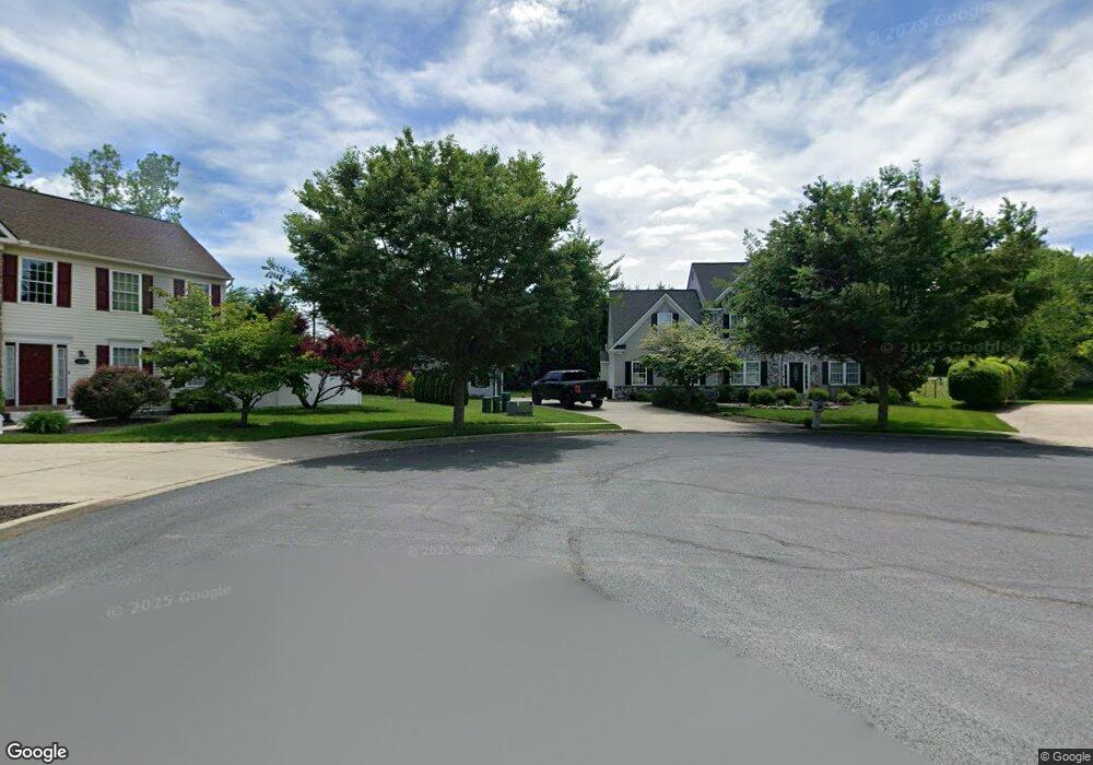
1984 Creamery Ct Alburtis, PA 18011
Lower Macungie Township West NeighborhoodEstimated Value: $508,000 - $624,000
4
Beds
4
Baths
2,661
Sq Ft
$222/Sq Ft
Est. Value
About This Home
This home is located at 1984 Creamery Ct, Alburtis, PA 18011 and is currently estimated at $591,327, approximately $222 per square foot. 1984 Creamery Ct is a home located in Lehigh County with nearby schools including Alburtis Elementary School, Lower Macungie Middle School, and Emmaus High School.
Ownership History
Date
Name
Owned For
Owner Type
Purchase Details
Closed on
Nov 25, 2008
Sold by
Federal Home Loan Mortgag
Bought by
Drozda Brian
Current Estimated Value
Home Financials for this Owner
Home Financials are based on the most recent Mortgage that was taken out on this home.
Original Mortgage
$256,500
Outstanding Balance
$172,435
Interest Rate
6.49%
Mortgage Type
New Conventional
Estimated Equity
$418,892
Purchase Details
Closed on
Mar 1, 2005
Sold by
Hoffman Randall N and Hoffman Susan J
Bought by
Lehman Mark A and Lehman Jody L
Home Financials for this Owner
Home Financials are based on the most recent Mortgage that was taken out on this home.
Original Mortgage
$249,400
Interest Rate
5.66%
Mortgage Type
Purchase Money Mortgage
Create a Home Valuation Report for This Property
The Home Valuation Report is an in-depth analysis detailing your home's value as well as a comparison with similar homes in the area
Home Values in the Area
Average Home Value in this Area
Purchase History
| Date | Buyer | Sale Price | Title Company |
|---|---|---|---|
| Drozda Brian | $285,000 | -- | |
| Lehman Mark A | $311,784 | Penn Title Inc |
Source: Public Records
Mortgage History
| Date | Status | Borrower | Loan Amount |
|---|---|---|---|
| Open | Drozda Brian | $256,500 | |
| Previous Owner | Lehman Mark A | $249,400 |
Source: Public Records
Tax History Compared to Growth
Tax History
| Year | Tax Paid | Tax Assessment Tax Assessment Total Assessment is a certain percentage of the fair market value that is determined by local assessors to be the total taxable value of land and additions on the property. | Land | Improvement |
|---|---|---|---|---|
| 2025 | $7,922 | $310,300 | $59,000 | $251,300 |
| 2024 | $7,664 | $310,300 | $59,000 | $251,300 |
| 2023 | $7,511 | $310,300 | $59,000 | $251,300 |
| 2022 | $7,333 | $310,300 | $251,300 | $59,000 |
| 2021 | $7,178 | $310,300 | $59,000 | $251,300 |
| 2020 | $7,109 | $310,300 | $59,000 | $251,300 |
| 2019 | $6,988 | $310,300 | $59,000 | $251,300 |
| 2018 | $6,896 | $310,300 | $59,000 | $251,300 |
| 2017 | $6,776 | $310,300 | $59,000 | $251,300 |
| 2016 | -- | $310,300 | $59,000 | $251,300 |
| 2015 | -- | $310,300 | $59,000 | $251,300 |
| 2014 | -- | $310,300 | $59,000 | $251,300 |
Source: Public Records
Map
Nearby Homes
- 8312 Mertztown Rd
- 1716 Brookstone Dr
- 8051 Heritage Dr
- 7699 Catalpa Dr
- 8012 Century Blvd
- 7687 Catalpa Dr
- 1565 Dresden Dr
- 8215 Alexander Ct
- 8213 Alexander Ct
- 1559 Dresden Dr
- 1562 Dresden Dr
- 1553 Dresden Dr
- 1538 Dresden Dr
- 1534 Dresden Dr
- 1530 Dresden Dr
- 1518 Dresden Dr
- 1506 Dresden Dr
- 7945 Golden Ln
- LAFAYETTE Plan at Trexler Pointe
- 7528 Buttercup Rd
- 1968 Creamery Ct
- 8179 Elm Rd
- 1981 Creamery Ct
- 1952 Creamery Ct
- 8164 Elm Rd
- 1965 Creamery Ct
- 8201 Elm Rd
- 1949 Creamery Ct
- 1936 Creamery Ct
- 1933 Creamery Ct
- 8217 Elm Rd
- 1917 Creamery Ct
- 1920 Creamery Ct
- 1887 Weilers Rd
- 1915 Weilers Rd
- 1935 Weilers Rd
- 1943 Weilers Rd
- 1909 Weilers Rd
- 1963 Weilers Rd
- 8170 Spring Creek Rd