1984 Highway 32 West Point, NE 68788
Estimated Value: $396,000 - $409,422
3
Beds
1
Bath
2,048
Sq Ft
$197/Sq Ft
Est. Value
About This Home
This home is located at 1984 Highway 32, West Point, NE 68788 and is currently estimated at $402,474, approximately $196 per square foot. 1984 Highway 32 is a home located in Cuming County with nearby schools including West Point-Beemer Junior/Senior High School, St. Paul Lutheran School, and Guardian Angels Elementary School.
Create a Home Valuation Report for This Property
The Home Valuation Report is an in-depth analysis detailing your home's value as well as a comparison with similar homes in the area
Home Values in the Area
Average Home Value in this Area
Tax History Compared to Growth
Tax History
| Year | Tax Paid | Tax Assessment Tax Assessment Total Assessment is a certain percentage of the fair market value that is determined by local assessors to be the total taxable value of land and additions on the property. | Land | Improvement |
|---|---|---|---|---|
| 2025 | $1,660 | $315,105 | $221,125 | $93,980 |
| 2024 | $1,660 | $275,680 | $194,070 | $81,610 |
| 2023 | $2,247 | $251,810 | $174,185 | $77,625 |
| 2022 | $2,112 | $215,965 | $153,850 | $62,115 |
| 2021 | $1,294 | $238,120 | $157,590 | $80,530 |
| 2020 | $2,263 | $232,160 | $166,405 | $65,755 |
| 2019 | $2,186 | $220,010 | $161,785 | $58,225 |
| 2018 | $2,239 | $227,935 | $169,695 | $58,240 |
| 2017 | $1,759 | $209,395 | $156,095 | $53,300 |
| 2016 | $2,108 | $196,885 | $148,775 | $48,110 |
| 2015 | $2,427 | $207,580 | $134,830 | $72,750 |
| 2014 | $2,134 | $189,020 | $115,075 | $73,945 |
| 2013 | $2,134 | $153,905 | $81,800 | $72,105 |
Source: Public Records
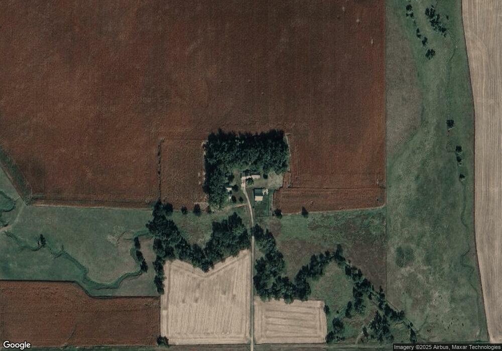
Map
Nearby Homes
- 1045 E Grove St
- 126 E Grove St
- 749 E Grove St
- 420 S Farragut St
- 626 S Monitor St
- 1402 E Bridge St
- 519 S Niphon St
- 205 E Sheridan St
- 208 N Lincoln St
- 101 S Main St
- 301 W Pine St
- 402 W Pine St
- 1207 N Main St
- 2416 F Rd
- 2235 K Rd
- 1225 Co Road 1
- TBD Oakland
- 328 N Oakland Ave
- 108 N Thomas Ave
- 206 N Thomas Ave