1984 Highway 65 New Richmond, WI 54017
Estimated Value: $330,000 - $442,116
--
Bed
--
Bath
--
Sq Ft
8.06
Acres
About This Home
This home is located at 1984 Highway 65, New Richmond, WI 54017 and is currently estimated at $377,779. 1984 Highway 65 is a home located in St. Croix County with nearby schools including New Richmond High School and St. Mary School.
Ownership History
Date
Name
Owned For
Owner Type
Purchase Details
Closed on
Jan 31, 2013
Sold by
Rosenberg Bradley D
Bought by
Rosenberg Jeremy D
Current Estimated Value
Home Financials for this Owner
Home Financials are based on the most recent Mortgage that was taken out on this home.
Original Mortgage
$120,000
Interest Rate
3.34%
Mortgage Type
Seller Take Back
Purchase Details
Closed on
May 18, 2011
Sold by
Rosenberg Debra J
Bought by
Rosenberg Bradley D
Create a Home Valuation Report for This Property
The Home Valuation Report is an in-depth analysis detailing your home's value as well as a comparison with similar homes in the area
Home Values in the Area
Average Home Value in this Area
Purchase History
| Date | Buyer | Sale Price | Title Company |
|---|---|---|---|
| Rosenberg Jeremy D | $120,000 | None Available | |
| Rosenberg Bradley D | -- | None Available |
Source: Public Records
Mortgage History
| Date | Status | Borrower | Loan Amount |
|---|---|---|---|
| Closed | Rosenberg Jeremy D | $120,000 |
Source: Public Records
Tax History Compared to Growth
Tax History
| Year | Tax Paid | Tax Assessment Tax Assessment Total Assessment is a certain percentage of the fair market value that is determined by local assessors to be the total taxable value of land and additions on the property. | Land | Improvement |
|---|---|---|---|---|
| 2024 | $46 | $282,400 | $57,100 | $225,300 |
| 2023 | $4,256 | $282,400 | $57,100 | $225,300 |
| 2022 | $3,518 | $282,400 | $57,100 | $225,300 |
| 2021 | $3,604 | $282,400 | $57,100 | $225,300 |
| 2020 | $3,573 | $282,400 | $57,100 | $225,300 |
| 2019 | $3,107 | $282,400 | $57,100 | $225,300 |
| 2018 | $3,166 | $185,800 | $43,100 | $142,700 |
| 2017 | $3,069 | $185,800 | $43,100 | $142,700 |
| 2016 | $3,069 | $185,800 | $43,100 | $142,700 |
| 2015 | $3,071 | $185,800 | $43,100 | $142,700 |
| 2014 | $2,964 | $185,800 | $43,100 | $142,700 |
| 2013 | $3,036 | $185,800 | $43,100 | $142,700 |
Source: Public Records
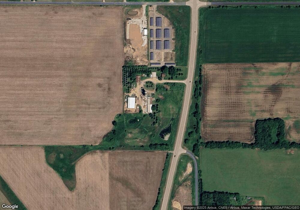
Map
Nearby Homes
- 1408 Highway 64
- 3 W North Shore Dr
- 6 W North Shore Dr
- 2 W North Shore Dr
- 1172 Caneel St
- 987 Turner Ln
- 1269 202nd Ave
- 956 Turner Ln
- 1094 N Shore Dr
- 1133 N Shore Dr
- 844 Brady Ln
- 2106 135th St
- 1157 N Shore Drive Lot 12 Dr
- 227 N 4th St
- 961 N Shore Dr
- 217 N 2nd St
- 1860 146th St
- 1456 Otter Way
- 1458 Otter Way
- 1510 Raccoon Ln
- 1393 200th Ave
- 1385 200th Ave
- 1965 140th St
- 1964 140th St
- XXX 200th Ave
- 1958 140th St
- 1380 200th Ave
- 2010 Highway 65
- 1384 200th Ave
- 2016 Highway 65
- 1376 200th Ave
- Lot 4 200th Ave
- Lot 2 200th Ave
- 1955 Highway 65
- 1368 200th Ave
- 1366 200th Ave
- 1954 Highway 65
- 1952 140th St
- 1413 200th Ave
- 1955 Wisconsin 65