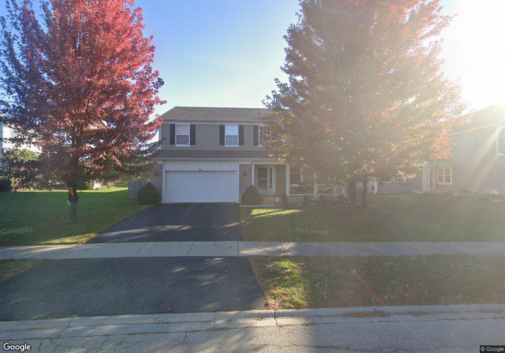
1984 Lyndhurst Ln Aurora, IL 60503
Far Southeast NeighborhoodEstimated Value: $483,010 - $526,000
4
Beds
3
Baths
2,790
Sq Ft
$182/Sq Ft
Est. Value
About This Home
This home is located at 1984 Lyndhurst Ln, Aurora, IL 60503 and is currently estimated at $507,503, approximately $181 per square foot. 1984 Lyndhurst Ln is a home located in Kendall County with nearby schools including The Wheatlands Elementary School, Bednarcik Jr. High School, and Oswego East High School.
Ownership History
Date
Name
Owned For
Owner Type
Purchase Details
Closed on
Dec 9, 2011
Sold by
Greene Kyle L and Greene Mary B
Bought by
Peterson Jon L
Current Estimated Value
Home Financials for this Owner
Home Financials are based on the most recent Mortgage that was taken out on this home.
Original Mortgage
$218,808
Outstanding Balance
$148,670
Interest Rate
3.87%
Mortgage Type
FHA
Estimated Equity
$358,833
Purchase Details
Closed on
Jan 20, 1999
Sold by
The Northern Trust Company
Bought by
Greene Kyle L and Greene Mary B
Home Financials for this Owner
Home Financials are based on the most recent Mortgage that was taken out on this home.
Original Mortgage
$204,400
Interest Rate
6.8%
Create a Home Valuation Report for This Property
The Home Valuation Report is an in-depth analysis detailing your home's value as well as a comparison with similar homes in the area
Home Values in the Area
Average Home Value in this Area
Purchase History
| Date | Buyer | Sale Price | Title Company |
|---|---|---|---|
| Peterson Jon L | $224,500 | None Available | |
| Greene Kyle L | $215,500 | -- |
Source: Public Records
Mortgage History
| Date | Status | Borrower | Loan Amount |
|---|---|---|---|
| Open | Peterson Jon L | $218,808 | |
| Previous Owner | Greene Kyle L | $204,400 |
Source: Public Records
Tax History Compared to Growth
Tax History
| Year | Tax Paid | Tax Assessment Tax Assessment Total Assessment is a certain percentage of the fair market value that is determined by local assessors to be the total taxable value of land and additions on the property. | Land | Improvement |
|---|---|---|---|---|
| 2024 | $11,184 | $131,883 | $28,223 | $103,660 |
| 2023 | $10,272 | $117,753 | $25,199 | $92,554 |
| 2022 | $10,272 | $108,030 | $23,118 | $84,912 |
| 2021 | $9,641 | $98,209 | $21,016 | $77,193 |
| 2020 | $9,552 | $96,283 | $20,604 | $75,679 |
| 2019 | $9,776 | $96,283 | $20,604 | $75,679 |
| 2018 | $9,380 | $92,955 | $19,892 | $73,063 |
| 2017 | $9,094 | $85,673 | $18,334 | $67,339 |
| 2016 | $8,717 | $81,206 | $17,378 | $63,828 |
| 2015 | $8,984 | $77,339 | $16,550 | $60,789 |
| 2014 | -- | $72,961 | $15,613 | $57,348 |
| 2013 | -- | $73,698 | $15,771 | $57,927 |
Source: Public Records
Map
Nearby Homes
- 2060 Lyndhurst Ln
- 1751 Baler Ave
- 1757 Baler Ave
- 1870 Canyon Creek Dr
- 1830 Canyon Creek Dr
- 1880 Canyon Creek Dr
- Bellamy Plan at Wheatland Crossing
- Henley Plan at Wheatland Crossing
- Ashton Plan at Wheatland Crossing
- Coventry Plan at Wheatland Crossing
- 2084 Canyon Creek Ct
- 1739 Baler Ave
- 1745 Baler Ave
- 1776 Stable Ln
- 1764 Stable Ln
- 1855 Keating Dr
- 1871 Keating Dr
- 1875 Keating Dr
- 2047 James Leigh Dr
- 1611 Fredericksburg Ln Unit 1
- 1996 Lyndhurst Ln
- 1972 Lyndhurst Ln
- 2012 Lyndhurst Ln Unit 2
- 1960 Lyndhurst Ln
- 1987 Lyndhurst Ln
- 2020 Lyndhurst Ln
- 1995 Lyndhurst Ln
- 1979 Lyndhurst Ln
- 1950 Lyndhurst Ln
- 1938 Turtle Creek Ct
- 1938 Turtle Creek Ct Unit 1938
- 2013 Lyndhurst Ln Unit 2
- 2028 Lyndhurst Ln
- 1934 Turtle Creek Ct
- 1955 Lyndhurst Ln
- 1930 Turtle Creek Ct
- 2021 Lyndhurst Ln
- 1940 Lyndhurst Ln
- 2007 Canyon Creek Dr
- 1992 Eastwick Ln