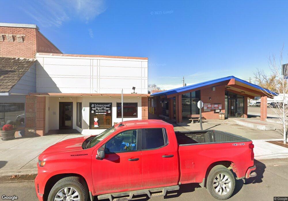
1984 Summit Estates Ln Cambridge, ID 83610
Estimated Value: $199,526 - $215,000
--
Bed
--
Bath
576
Sq Ft
$360/Sq Ft
Est. Value
About This Home
This home is located at 1984 Summit Estates Ln, Cambridge, ID 83610 and is currently estimated at $207,263, approximately $359 per square foot. 1984 Summit Estates Ln is a home located in Washington County with nearby schools including Cambridge Elementary School and Cambridge Junior/Senior High School.
Ownership History
Date
Name
Owned For
Owner Type
Purchase Details
Closed on
Jul 30, 2024
Sold by
Mcconnell Deana L and Mcconnell Robert L
Bought by
Grant James David
Current Estimated Value
Purchase Details
Closed on
Apr 23, 2018
Sold by
Fuller Josephn
Bought by
Carsten Glen R and Carsten Jennifer C
Purchase Details
Closed on
Oct 7, 2012
Sold by
Huntington Patrcia and Huntington Barbara
Bought by
Fuller Joseph N
Purchase Details
Closed on
Sep 16, 2005
Sold by
Fuller Sandra
Bought by
Fuller Joseph N
Create a Home Valuation Report for This Property
The Home Valuation Report is an in-depth analysis detailing your home's value as well as a comparison with similar homes in the area
Home Values in the Area
Average Home Value in this Area
Purchase History
| Date | Buyer | Sale Price | Title Company |
|---|---|---|---|
| Grant James David | -- | Pioneer Title | |
| Carsten Glen R | -- | Pioneer Title Canyon Caldwel | |
| Fuller Joseph N | -- | None Available | |
| Fuller Joseph N | -- | -- |
Source: Public Records
Tax History Compared to Growth
Tax History
| Year | Tax Paid | Tax Assessment Tax Assessment Total Assessment is a certain percentage of the fair market value that is determined by local assessors to be the total taxable value of land and additions on the property. | Land | Improvement |
|---|---|---|---|---|
| 2025 | $390 | $99,921 | $72,941 | $26,980 |
| 2024 | $390 | $99,921 | $72,941 | $26,980 |
| 2023 | $427 | $72,941 | $72,941 | $0 |
| 2022 | $126 | $31,694 | $31,694 | $0 |
| 2021 | $268 | $39,339 | $39,339 | $0 |
| 2020 | $554 | $75,442 | $31,472 | $43,970 |
| 2019 | $235 | $31,472 | $31,472 | $0 |
| 2018 | $276 | $31,472 | $31,472 | $0 |
| 2017 | $267 | $31,472 | $31,472 | $0 |
| 2013 | $261 | $0 | $0 | $0 |
| 2011 | $366 | $0 | $0 | $0 |
Source: Public Records
Map
Nearby Homes
- 2267 Private Rd 1
- 3534 Advent Gulch Rd
- 00 Cuddy Mountain Mineral Land
- 3496 Ward Rd
- 3057 Idaho 71
- 1420 Goodrich Creek Rd
- 85 W Washington Ave
- TBD U S Route 95
- 3127 U S Route 95
- 3310 U S Route 95
- 30 S Commercial St
- 140 S Railroad St
- 2770 Salubria Rd
- 2909 U S 95
- 2850 Council-Cuprum Rd
- TBD Upper Goodrich Creek Rd
- 0 Tbd Goodrich Rd Unit 25221615
- 0 Tbd Goodrich Rd Unit 11591451
- 1720 Johnson Creek Rd
- 36975 Sullivan Ln
- 1984 Summitt Estate
- 1987 Summitt Estate
- 1969 Summit Estates Ln
- 1961 Summitt Estate
- 0 Idaho 71
- Lot 2 Brownlee Summit Estates
- 3884 Highway 71
- 3878 Highway 71
- TBD Hwy 71
- TBD Hwy 71 Unit 7
- TBD Hwy 71 Unit 10
- 3860 Highway 71
- 3861 Highway 71
- 3845 Highway 71
- Lot 1 Brownlee Summit Estates
- 2165 Seid Creek Rd
- 1909 Summit Estate Ln
