1985 110th St New Richmond, WI 54017
Estimated Value: $268,000 - $488,328
4
Beds
2
Baths
3,725
Sq Ft
$99/Sq Ft
Est. Value
About This Home
This home is located at 1985 110th St, New Richmond, WI 54017 and is currently estimated at $369,082, approximately $99 per square foot. 1985 110th St is a home located in St. Croix County with nearby schools including New Richmond High School and St. Mary School.
Ownership History
Date
Name
Owned For
Owner Type
Purchase Details
Closed on
Feb 11, 2013
Sold by
Potting Randy C
Bought by
Letourneau Nathan P and Letourneau Kristy M
Current Estimated Value
Home Financials for this Owner
Home Financials are based on the most recent Mortgage that was taken out on this home.
Original Mortgage
$80,000
Outstanding Balance
$55,691
Interest Rate
3.32%
Mortgage Type
New Conventional
Estimated Equity
$313,391
Purchase Details
Closed on
Jan 24, 2012
Sold by
Viebrock Pamela J and Potting Randy C
Bought by
Potting Ambrose C
Purchase Details
Closed on
Oct 13, 2011
Sold by
Viebrock Pamela J and Potting Randy C
Bought by
Potting Ambrose C
Purchase Details
Closed on
Apr 6, 2010
Sold by
Potting Ambrose C
Bought by
Viebrock Pamela J and Potting Randy C
Create a Home Valuation Report for This Property
The Home Valuation Report is an in-depth analysis detailing your home's value as well as a comparison with similar homes in the area
Home Values in the Area
Average Home Value in this Area
Purchase History
| Date | Buyer | Sale Price | Title Company |
|---|---|---|---|
| Letourneau Nathan P | $100,000 | None Available | |
| Potting Ambrose C | -- | None Available | |
| Potting Ambrose C | -- | None Available | |
| Viebrock Pamela J | -- | None Available |
Source: Public Records
Mortgage History
| Date | Status | Borrower | Loan Amount |
|---|---|---|---|
| Open | Letourneau Nathan P | $80,000 |
Source: Public Records
Tax History Compared to Growth
Tax History
| Year | Tax Paid | Tax Assessment Tax Assessment Total Assessment is a certain percentage of the fair market value that is determined by local assessors to be the total taxable value of land and additions on the property. | Land | Improvement |
|---|---|---|---|---|
| 2024 | $31 | $180,700 | $49,500 | $131,200 |
| 2023 | $2,754 | $180,700 | $49,500 | $131,200 |
| 2022 | $2,368 | $180,700 | $49,500 | $131,200 |
| 2021 | $2,383 | $180,700 | $49,500 | $131,200 |
| 2020 | $2,387 | $180,700 | $49,500 | $131,200 |
| 2019 | $2,314 | $180,700 | $49,500 | $131,200 |
| 2018 | $2,324 | $132,300 | $38,500 | $93,800 |
| 2017 | $2,263 | $132,300 | $38,500 | $93,800 |
| 2016 | $2,263 | $132,300 | $38,500 | $93,800 |
| 2015 | $2,165 | $132,300 | $38,500 | $93,800 |
| 2014 | $2,088 | $132,300 | $38,500 | $93,800 |
| 2013 | $2,014 | $132,300 | $38,500 | $93,800 |
Source: Public Records
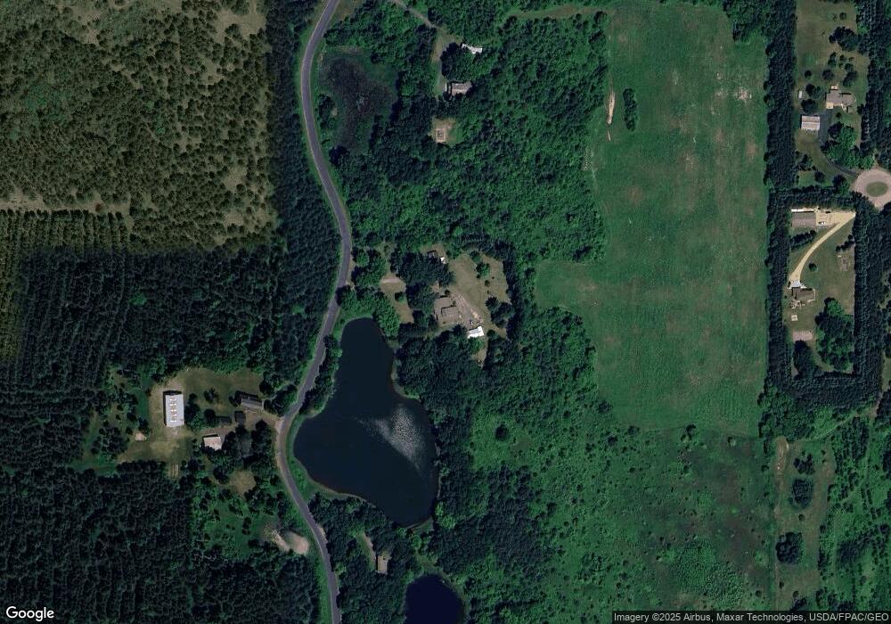
Map
Nearby Homes
- TBD County Road C
- 1256 195th Ave
- 1152 County Road C
- Lot 4 Nighthawk Dr
- Lot 5 Riverdale Ct
- TBD Nighthawk Dr ( Apple River Lot) Lot 9
- TBD Nighthawk Dr ( Apple River Lot) Lot 5
- TBD Nighthawk Dr ( Apple River Lot) Lot 6
- TBD Nighthawk Dr ( Apple River Lot) Lot 4
- TBD Nighthawk Dr ( Apple River Lot) Lot 10
- TBD Nighthawk Dr ( Apple River Lot) Lot 7
- XXXX 110th St
- 1269 202nd Ave
- 2118 100th St
- 1787 Saint Andrews Place
- 1777 George Norman Dr
- 919 189th Ave
- 881 Coleman Dr
- Lot 6 220th Ave
- 931 218th Ave