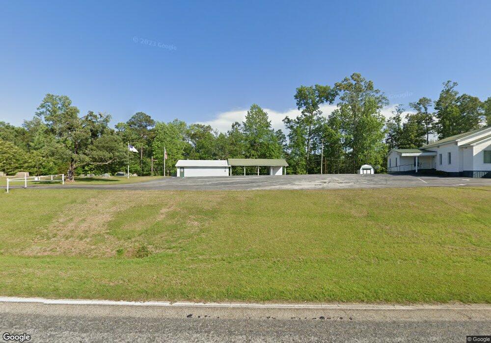
1985 Highway 184 N Toccoa, GA 30577
Estimated Value: $212,000 - $725,000
1
Bed
1
Bath
548
Sq Ft
$751/Sq Ft
Est. Value
About This Home
This home is located at 1985 Highway 184 N, Toccoa, GA 30577 and is currently estimated at $411,667, approximately $751 per square foot. 1985 Highway 184 N is a home with nearby schools including Stephens County High School.
Ownership History
Date
Name
Owned For
Owner Type
Purchase Details
Closed on
May 19, 2017
Sold by
Payne Stephen N
Bought by
Smith Dwayne William and Smith Mary Ellen
Current Estimated Value
Purchase Details
Closed on
Jul 28, 2011
Sold by
Payne Annie Pearl
Bought by
Payne Stephen N
Home Financials for this Owner
Home Financials are based on the most recent Mortgage that was taken out on this home.
Original Mortgage
$83,200
Interest Rate
4.53%
Mortgage Type
New Conventional
Create a Home Valuation Report for This Property
The Home Valuation Report is an in-depth analysis detailing your home's value as well as a comparison with similar homes in the area
Home Values in the Area
Average Home Value in this Area
Purchase History
| Date | Buyer | Sale Price | Title Company |
|---|---|---|---|
| Smith Dwayne William | $15,000 | -- | |
| Payne Stephen N | -- | -- |
Source: Public Records
Mortgage History
| Date | Status | Borrower | Loan Amount |
|---|---|---|---|
| Previous Owner | Payne Stephen N | $83,200 |
Source: Public Records
Tax History Compared to Growth
Tax History
| Year | Tax Paid | Tax Assessment Tax Assessment Total Assessment is a certain percentage of the fair market value that is determined by local assessors to be the total taxable value of land and additions on the property. | Land | Improvement |
|---|---|---|---|---|
| 2024 | $2,168 | $71,209 | $42,029 | $29,180 |
| 2023 | $2,154 | $72,338 | $44,845 | $27,493 |
| 2022 | $2,115 | $71,053 | $44,845 | $26,208 |
| 2021 | $2,100 | $67,155 | $44,845 | $22,310 |
| 2020 | $2,084 | $65,991 | $44,845 | $21,146 |
| 2019 | $1,963 | $61,914 | $40,768 | $21,146 |
| 2018 | $1,876 | $59,171 | $40,768 | $18,403 |
| 2017 | $1,422 | $44,154 | $43,474 | $680 |
| 2016 | $1,400 | $44,154 | $43,474 | $679 |
| 2015 | $1,466 | $44,154 | $43,474 | $679 |
| 2014 | $1,491 | $44,154 | $43,474 | $680 |
| 2013 | -- | $45,642 | $45,642 | $0 |
Source: Public Records
Map
Nearby Homes
- 871 W Leatherwood Rd
- 939 W Leatherwood Rd
- 3243 Highway 184 N
- 571 N Currahee Ln
- 3125 New Hope Rd
- 334 Brock Rd
- 0 Highway 184 Unit 7606848
- 0 Highway 184 Unit 10547296
- 1578 New Hope Rd
- 424 Law House Rd
- 193 Tabitha Page Ln
- 9369 Sherwood Ct
- 54 Tabitha Page Ln
- 5620 Mize Rd
- 0 Old Mize Rd Unit 25210224
- 0 Old Mize Rd Unit 10625333
- 6126 Mize Rd
- 266 Cawthon Rd
- 5831 Mize Rd
- 1662 Carnes Creek Rd
- 223 Devonshire Dr
- 102 W Leatherwood Rd
- 102 Leatherwood Rd
- 0B Oak Dr
- 1872 Highway 184 N
- 1980 Georgia 184
- 148 W Leatherwood Rd
- 218 W Leatherwood Rd
- 2209 Highway 184 N
- 1814 Highway 184 N
- 312 W Leatherwood Rd
- 2018 Highway 184 N
- 2018 Highway 184 N Unit 5
- 2018 Highway 184 N Unit 30
- 2018 Georgia 184
- 2018 Georgia 184 Unit 5
- 2018 Georgia 184 Unit 30
- 2237 Highway 184 N
- 10 Oak Dr
- 29 Oak Dr
