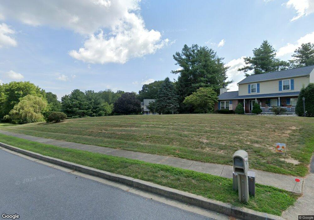
1985 Upper Forde Ln Hampstead, MD 21074
Estimated Value: $467,000 - $538,000
Studio
1
Bath
2,172
Sq Ft
$239/Sq Ft
Est. Value
About This Home
This home is located at 1985 Upper Forde Ln, Hampstead, MD 21074 and is currently estimated at $518,359, approximately $238 per square foot. 1985 Upper Forde Ln is a home located in Carroll County with nearby schools including Spring Garden Elementary School, Shiloh Middle School, and Manchester Valley High School.
Ownership History
Date
Name
Owned For
Owner Type
Purchase Details
Closed on
Aug 8, 1988
Sold by
Hill Martin Paul
Bought by
Mosebrook John R and Mosebrook Christy L
Current Estimated Value
Purchase Details
Closed on
Oct 18, 1984
Sold by
Woodhaven Building And Dev Inc
Bought by
Hill Martin Paul
Create a Home Valuation Report for This Property
The Home Valuation Report is an in-depth analysis detailing your home's value as well as a comparison with similar homes in the area
Home Values in the Area
Average Home Value in this Area
Purchase History
| Date | Buyer | Sale Price | Title Company |
|---|---|---|---|
| Mosebrook John R | $166,000 | -- | |
| Hill Martin Paul | $20,000 | -- |
Source: Public Records
Tax History
| Year | Tax Paid | Tax Assessment Tax Assessment Total Assessment is a certain percentage of the fair market value that is determined by local assessors to be the total taxable value of land and additions on the property. | Land | Improvement |
|---|---|---|---|---|
| 2025 | $5,722 | $427,100 | $193,000 | $234,100 |
| 2024 | $5,528 | $408,133 | $0 | $0 |
| 2023 | $5,210 | $389,167 | $0 | $0 |
| 2022 | $4,960 | $370,200 | $193,000 | $177,200 |
| 2021 | $9,963 | $369,000 | $0 | $0 |
| 2020 | $4,928 | $367,800 | $0 | $0 |
| 2019 | $4,949 | $366,600 | $193,000 | $173,600 |
| 2018 | $4,793 | $357,700 | $0 | $0 |
| 2017 | $4,673 | $348,800 | $0 | $0 |
| 2016 | -- | $339,900 | $0 | $0 |
| 2015 | -- | $339,900 | $0 | $0 |
| 2014 | -- | $339,900 | $0 | $0 |
Source: Public Records
Map
Nearby Homes
- 1909 Hanover Pike
- 1809 Hanover Pike
- 4250 Flail Dr
- 2461 Fairmount Rd
- 1711 Kempfield Dr
- 0 Dave Rill Rd
- 1421 N Main St
- 2472 Fairway Oaks Ct
- 4112 Creswell Terrace
- 0 Hanover Pike Unit MDCR2024542
- 4210 Upper Beckleysville Rd
- 4579 Dave Rill Rd
- 3815 Sunnyfield Ct Unit 2C
- 3815 Sunnyfield Ct Unit 3D
- 4710 Gold Finch Dr
- 4138 Hillcrest Ave
- 4316 Utz Rd
- 2439 Fairmount Rd Unit 35
- 4220 Maple Grove Rd
- 1151 Caton Rd
- 4129 Murphys Run Ct
- 4125 Murphys Run Ct
- 1975 Upper Forde Ln
- 1970 Upper Forde Ln
- 1960 Upper Forde Ln
- 1950 Upper Forde Ln
- 3926 Church Rd
- 3883 Greenmount Church Rd
- 3926 Greenmount Church Rd
- 4121 Murphys Run Ct
- 2083 Mountain Ash Ct Unit HOMESITE 331
- 2083 Mountain Ash Ct
- 4120 Murphys Run Ct
- 4119 Murphys Run Ct
- 2085 Mountain Ash Ct
- 2081 Mountain Ash Ct Unit HOMESITE 328
- 2081 Mountain Ash Ct
- 4118 Murphys Run Ct
- 4117 Murphys Run Ct
- 1939 Upper Forde Ln
Your Personal Tour Guide
Ask me questions while you tour the home.