1985D Main Rd Westport Point, MA 02791
Westport Point NeighborhoodEstimated Value: $1,665,000 - $2,624,396
3
Beds
4
Baths
2,189
Sq Ft
$1,007/Sq Ft
Est. Value
About This Home
This home is located at 1985D Main Rd, Westport Point, MA 02791 and is currently estimated at $2,203,849, approximately $1,006 per square foot. 1985D Main Rd is a home located in Bristol County with nearby schools including Alice A. Macomber Primary School, Westport Elementary School, and Westport Middle-High School.
Ownership History
Date
Name
Owned For
Owner Type
Purchase Details
Closed on
Dec 28, 2009
Sold by
Macandrew Jr Tr John A and Oldenburg Laurie
Bought by
Kelsey Peter B
Current Estimated Value
Create a Home Valuation Report for This Property
The Home Valuation Report is an in-depth analysis detailing your home's value as well as a comparison with similar homes in the area
Home Values in the Area
Average Home Value in this Area
Purchase History
| Date | Buyer | Sale Price | Title Company |
|---|---|---|---|
| Kelsey Peter B | $745,000 | -- | |
| Kelsey Peter B | $745,000 | -- |
Source: Public Records
Mortgage History
| Date | Status | Borrower | Loan Amount |
|---|---|---|---|
| Closed | Kelsey Peter B | $100,000 | |
| Open | Kelsey Peter B | $400,000 |
Source: Public Records
Tax History Compared to Growth
Tax History
| Year | Tax Paid | Tax Assessment Tax Assessment Total Assessment is a certain percentage of the fair market value that is determined by local assessors to be the total taxable value of land and additions on the property. | Land | Improvement |
|---|---|---|---|---|
| 2025 | $17,840 | $2,394,600 | $1,377,500 | $1,017,100 |
| 2024 | $11,307 | $1,462,700 | $945,700 | $517,000 |
| 2023 | $11,332 | $1,388,700 | $900,700 | $488,000 |
| 2022 | $8,085 | $953,400 | $743,900 | $209,500 |
| 2021 | $7,305 | $847,400 | $646,400 | $201,000 |
| 2020 | $6,925 | $821,500 | $620,500 | $201,000 |
| 2019 | $6,803 | $822,600 | $620,500 | $202,100 |
| 2018 | $6,645 | $813,400 | $631,300 | $182,100 |
| 2017 | $6,467 | $811,400 | $626,700 | $184,700 |
| 2016 | $6,362 | $804,300 | $626,700 | $177,600 |
| 2015 | $6,320 | $797,000 | $626,700 | $170,300 |
Source: Public Records
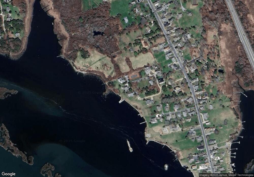
Map
Nearby Homes
- 1881 Main Rd
- 1702J Drift Rd
- 1702 Drift Rd
- 1749 Main Rd
- 1580 Main Rd
- 19 Seabury Ln
- 99 Sylvia Ln
- 1346 Main Rd Unit B
- 238-242 E Beach Rd
- 189 Brayton Point Rd
- 304 Brayton Point Rd
- Lot 2 Horseneck Rd
- 255 John Dyer Rd
- 245 John Dyer Rd
- 225 Hixbridge Rd
- 920 Drift Rd
- 17 Quail Trail
- 101 Adamsville Rd
- Lot 2E Horseneck Rd
- 837 Main Rd
- 1990 Main Rd
- 1985-D Main Rd
- 1980A/B Main Rd
- 1991 Main Rd Unit WINTER
- 1991 Main Rd Unit VAC RENTAL
- 1980 Main Rd
- 1982 Main Rd
- 1994 Main Rd
- 1998 Main Rd
- 1978 Main Rd
- 1991 Main Rd Unit WINTER '22
- 1977 Main Road U: Weekly
- 1977 Main Rd
- 2001 Main Rd
- 1970 Main Rd
- 1974 Main Rd Unit 1976
- 1976 Main Rd
- 1968 Main Rd
- 2002 Main Rd
- 1973 Main Rd