1985F Main Rd Westport Point, MA 02791
Westport Point NeighborhoodEstimated Value: $1,768,000 - $2,430,795
3
Beds
3
Baths
1,912
Sq Ft
$1,074/Sq Ft
Est. Value
About This Home
This home is located at 1985F Main Rd, Westport Point, MA 02791 and is currently estimated at $2,053,265, approximately $1,073 per square foot. 1985F Main Rd is a home located in Bristol County with nearby schools including Alice A. Macomber Primary School, Westport Elementary School, and Westport Middle-High School.
Ownership History
Date
Name
Owned For
Owner Type
Purchase Details
Closed on
Feb 11, 2011
Sold by
Becker Nancy A and Greaney Joseph F
Bought by
Becker-Greaney Ft
Current Estimated Value
Purchase Details
Closed on
Jan 26, 2011
Sold by
Hardin Dewitt T and Hardin Sharon A
Bought by
Greaney Joseph F and Becker Nancy A
Create a Home Valuation Report for This Property
The Home Valuation Report is an in-depth analysis detailing your home's value as well as a comparison with similar homes in the area
Home Values in the Area
Average Home Value in this Area
Purchase History
| Date | Buyer | Sale Price | Title Company |
|---|---|---|---|
| Becker-Greaney Ft | -- | -- | |
| Greaney Joseph F | $970,000 | -- |
Source: Public Records
Tax History Compared to Growth
Tax History
| Year | Tax Paid | Tax Assessment Tax Assessment Total Assessment is a certain percentage of the fair market value that is determined by local assessors to be the total taxable value of land and additions on the property. | Land | Improvement |
|---|---|---|---|---|
| 2025 | $13,559 | $1,820,000 | $762,600 | $1,057,400 |
| 2024 | $13,575 | $1,756,200 | $706,500 | $1,049,700 |
| 2023 | $12,562 | $1,539,500 | $575,000 | $964,500 |
| 2022 | $9,856 | $1,162,300 | $550,500 | $611,800 |
| 2021 | $9,300 | $1,078,900 | $467,100 | $611,800 |
| 2020 | $8,937 | $1,060,200 | $448,400 | $611,800 |
| 2019 | $8,597 | $1,039,500 | $448,400 | $591,100 |
| 2018 | $13,699 | $1,676,700 | $637,300 | $1,039,400 |
| 2017 | $13,322 | $1,671,500 | $632,700 | $1,038,800 |
| 2016 | $5,121 | $647,400 | $632,700 | $14,700 |
| 2015 | $6,563 | $827,600 | $574,100 | $253,500 |
Source: Public Records
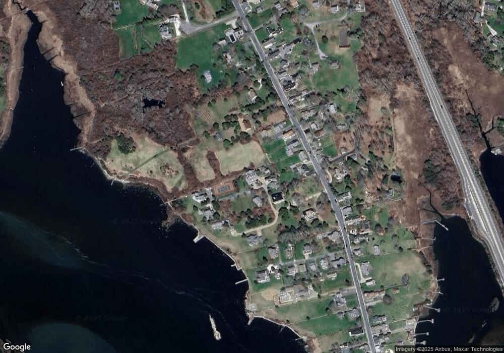
Map
Nearby Homes
- 1881 Main Rd
- 1749 Main Rd
- 1702J Drift Rd
- 1702 Drift Rd
- 1580 Main Rd
- 19 Seabury Ln
- 1346 Main Rd Unit B
- 99 Sylvia Ln
- 238-242 E Beach Rd
- 189 Brayton Point Rd
- 304 Brayton Point Rd
- 255 John Dyer Rd
- Lot 2 Horseneck Rd
- 245 John Dyer Rd
- 225 Hixbridge Rd
- 920 Drift Rd
- 17 Quail Trail
- 101 Adamsville Rd
- Lot 2E Horseneck Rd
- 837 Main Rd
- 1991C Main Rd
- 1993 Main Rd
- 1985 Main Rd
- 1985 Main Rd
- 1991B Main Rd Unit WEEKLY
- 1991B Main Rd Unit WINTER RENT
- 1991B Main Rd Unit VAC RENTAL
- 1991B Main Rd Unit WEEKLY
- 1991B Main Rd Unit WINTER
- 1991B Main Rd
- 0 Hillside Ave
- 1965 Main Rd
- 1971 Main Rd
- 1959 Main Rd
- 1977 Main Rd
- 1977 Main Road U: Weekly
- 1973 Main Rd
- 1963 Main Rd
- 1967 Main Rd
- 1985C Main Rd