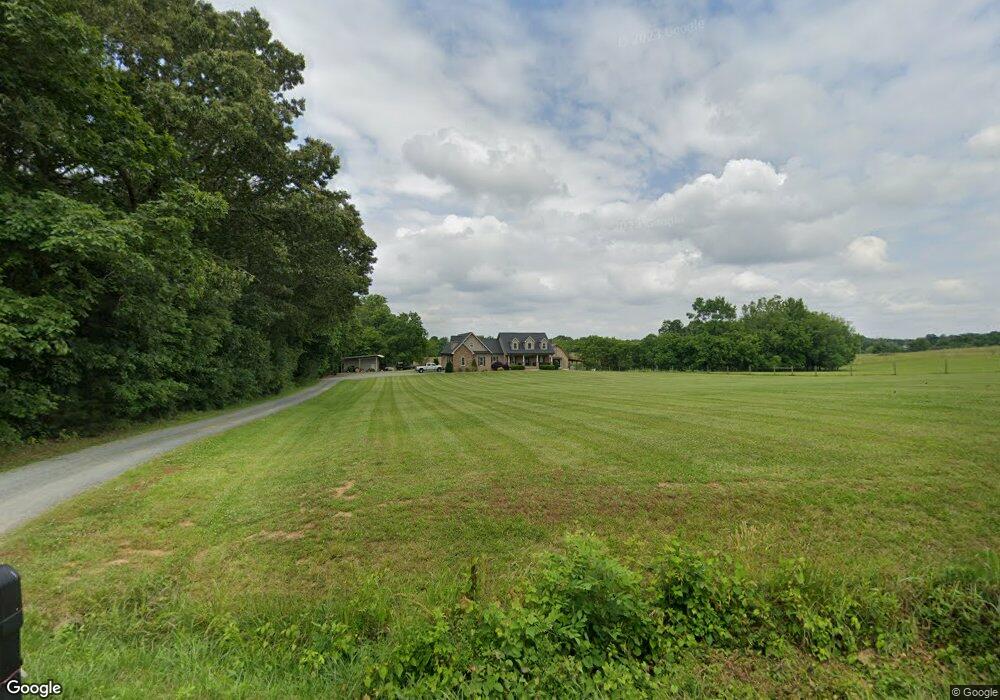
1986 Hohn Davis Rd High Point, NC 27263
Estimated Value: $437,000 - $694,000
--
Bed
1
Bath
3,637
Sq Ft
$147/Sq Ft
Est. Value
About This Home
This home is located at 1986 Hohn Davis Rd, High Point, NC 27263 and is currently estimated at $532,963, approximately $146 per square foot. 1986 Hohn Davis Rd is a home with nearby schools including New Market Elementary School, Randleman Middle School, and Randleman High School.
Ownership History
Date
Name
Owned For
Owner Type
Purchase Details
Closed on
Oct 9, 2014
Sold by
Green Jessica J and Green Adam L
Bought by
Green Jessica J and Green Adam L
Current Estimated Value
Home Financials for this Owner
Home Financials are based on the most recent Mortgage that was taken out on this home.
Original Mortgage
$228,000
Interest Rate
4.17%
Mortgage Type
New Conventional
Create a Home Valuation Report for This Property
The Home Valuation Report is an in-depth analysis detailing your home's value as well as a comparison with similar homes in the area
Home Values in the Area
Average Home Value in this Area
Purchase History
| Date | Buyer | Sale Price | Title Company |
|---|---|---|---|
| Green Jessica J | -- | None Available |
Source: Public Records
Mortgage History
| Date | Status | Borrower | Loan Amount |
|---|---|---|---|
| Closed | Green Jessica J | $228,000 |
Source: Public Records
Tax History Compared to Growth
Tax History
| Year | Tax Paid | Tax Assessment Tax Assessment Total Assessment is a certain percentage of the fair market value that is determined by local assessors to be the total taxable value of land and additions on the property. | Land | Improvement |
|---|---|---|---|---|
| 2025 | $3,048 | $468,940 | $69,570 | $399,370 |
| 2024 | $3,048 | $468,940 | $69,570 | $399,370 |
| 2023 | $3,048 | $468,940 | $69,570 | $399,370 |
| 2022 | $2,616 | $334,220 | $46,060 | $288,160 |
| 2021 | $2,616 | $334,220 | $46,060 | $288,160 |
| 2020 | $2,593 | $334,220 | $46,060 | $288,160 |
| 2019 | $2,593 | $334,220 | $46,060 | $288,160 |
| 2018 | $2,147 | $267,580 | $41,380 | $226,200 |
| 2016 | $2,084 | $267,576 | $41,380 | $226,196 |
| 2015 | $2,090 | $267,576 | $41,380 | $226,196 |
| 2014 | -- | $72,768 | $41,380 | $31,388 |
Source: Public Records
Map
Nearby Homes
- 0 Davis Country Rd
- 2505 Banner Whitehead Rd
- 0 Hughes Farm Rd Unit 1201373
- 0 Harlow Rd
- 2060 Coltrane Mill Rd
- 2994 Stanley Rd Unit 13
- 5590 Old Cedar Square Rd
- 8434 Us Highway 311
- 0 Tom Ball Rd
- 5030 Branson Davis Rd
- 0 Old Cedar Square Rd
- 6534 Frazier Marsh Rd
- 4869 Old Edgar Rd
- 3368 Old Glenola Rd
- 731 Frazier View Rd
- 5355 Old Walker Mill Rd
- 9116 Us Highway 311
- 9256 Us Highway 311
- 0-B Us Highway 311
- 0 Us Highway 311 Unit 1164260
- 2062 Hohn Davis Rd
- 2481 Hohn Rd
- 1877 Farlow Farm Rd
- 1804 Farlow Farm Rd
- 1828 Hohn Davis Rd
- 1816 Hohn Davis Rd
- 1793 Hohn Davis Rd
- 1843 Hickory Wood Ln
- 5959 Gilbert Davis Dr
- 7031 Davis Country Rd
- 6941 Davis Country Rd
- unknown Hickory Wood Ln
- 1649 Greendale Road Extension
- 6778 Cedar Square Rd
- 6756 Cedar Square Rd
- 5952 Gilbert Davis Dr
- 7026 Davis Country Rd
- 6810 Cedar Square Rd
- 6041 Gilbert Davis Dr
- 6927 Davis Country Rd