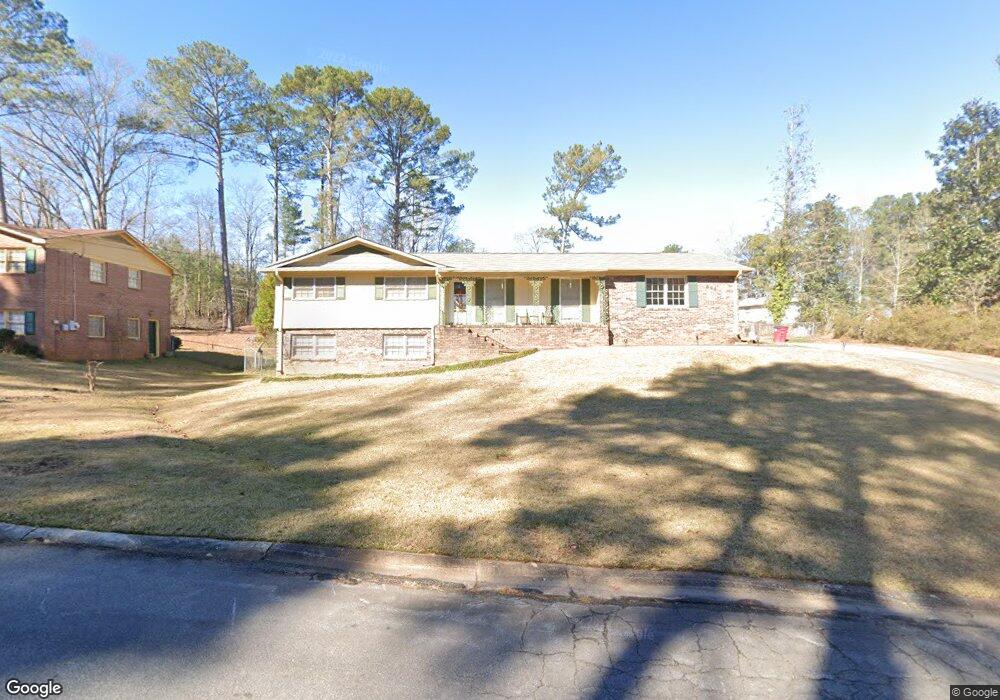
1986 Long Ridge Dr Macon, GA 31211
Estimated Value: $155,000 - $171,000
3
Beds
2
Baths
1,464
Sq Ft
$112/Sq Ft
Est. Value
About This Home
This home is located at 1986 Long Ridge Dr, Macon, GA 31211 and is currently estimated at $164,405, approximately $112 per square foot. 1986 Long Ridge Dr is a home located in Bibb County with nearby schools including Martin Luther King Jr. Elementary School, Appling Middle School, and Northeast High School.
Ownership History
Date
Name
Owned For
Owner Type
Purchase Details
Closed on
Aug 28, 2006
Sold by
Bentley Deloris K
Bought by
Foster Cassandra and Foster Marlow
Current Estimated Value
Home Financials for this Owner
Home Financials are based on the most recent Mortgage that was taken out on this home.
Original Mortgage
$92,000
Outstanding Balance
$54,678
Interest Rate
6.67%
Mortgage Type
Unknown
Estimated Equity
$109,727
Create a Home Valuation Report for This Property
The Home Valuation Report is an in-depth analysis detailing your home's value as well as a comparison with similar homes in the area
Home Values in the Area
Average Home Value in this Area
Purchase History
| Date | Buyer | Sale Price | Title Company |
|---|---|---|---|
| Foster Cassandra | $115,000 | None Available |
Source: Public Records
Mortgage History
| Date | Status | Borrower | Loan Amount |
|---|---|---|---|
| Open | Foster Cassandra | $92,000 |
Source: Public Records
Tax History Compared to Growth
Tax History
| Year | Tax Paid | Tax Assessment Tax Assessment Total Assessment is a certain percentage of the fair market value that is determined by local assessors to be the total taxable value of land and additions on the property. | Land | Improvement |
|---|---|---|---|---|
| 2025 | $1,042 | $49,386 | $6,000 | $43,386 |
| 2024 | $1,076 | $49,386 | $6,000 | $43,386 |
| 2023 | $619 | $49,386 | $6,000 | $43,386 |
| 2022 | $1,553 | $51,851 | $8,615 | $43,236 |
| 2021 | $1,388 | $43,521 | $7,491 | $36,030 |
| 2020 | $1,418 | $43,521 | $7,491 | $36,030 |
| 2019 | $1,430 | $43,521 | $7,491 | $36,030 |
| 2018 | $2,369 | $43,521 | $7,491 | $36,030 |
| 2017 | $1,368 | $43,521 | $7,491 | $36,030 |
| 2016 | $1,264 | $43,522 | $7,491 | $36,030 |
| 2015 | $1,789 | $43,522 | $7,491 | $36,030 |
| 2014 | $2,109 | $43,522 | $7,491 | $36,030 |
Source: Public Records
Map
Nearby Homes
- 1974 Long Ridge Dr
- 1973 Wood Valley Rd
- 1961 Wood Valley Rd
- 1953 Wood Valley Rd
- 1981 Long Ridge Dr
- 1968 Long Ridge Dr
- 1947 Wood Valley Rd
- 1966 Wood Valley Rd
- 1958 Long Ridge Dr
- 1948 Wood Valley Rd
- 1965 Long Ridge Dr
- 1931 Wood Valley Rd
- 1955 Long Ridge Dr
- 1946 Wood Valley Rd
- 1934 Long Ridge Dr
- 1934 Wood Valley Rd
- 1941 Long Ridge Dr
- 1872 Old Clinton Rd
- 1968 Clinton Rd
- 1920 Long Ridge Dr