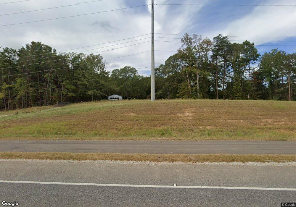
19861 Highway 11 Woodstock, AL 35188
Estimated Value: $166,000 - $200,000
--
Bed
2
Baths
1,446
Sq Ft
$127/Sq Ft
Est. Value
About This Home
This home is located at 19861 Highway 11, Woodstock, AL 35188 and is currently estimated at $182,957, approximately $126 per square foot. 19861 Highway 11 is a home located in Bibb County.
Ownership History
Date
Name
Owned For
Owner Type
Purchase Details
Closed on
Jul 28, 2021
Sold by
Bunn and Connie
Bought by
Alabama Power Company
Current Estimated Value
Purchase Details
Closed on
Dec 30, 2020
Sold by
Meadows Christopher L and Meadows Krissi M
Bought by
Bunn Larry W and Bunn Connie M
Purchase Details
Closed on
Aug 28, 2020
Sold by
Alabama Department Of Transpotation
Bought by
Meadows Christopher L and Meadows Krissi M
Purchase Details
Closed on
Jul 26, 2020
Sold by
Bunn Larry W and Bunn Connie M
Bought by
Meadows Christopher L and Meadows Krissi M
Create a Home Valuation Report for This Property
The Home Valuation Report is an in-depth analysis detailing your home's value as well as a comparison with similar homes in the area
Home Values in the Area
Average Home Value in this Area
Purchase History
| Date | Buyer | Sale Price | Title Company |
|---|---|---|---|
| Alabama Power Company | $4,000 | None Listed On Document | |
| Bunn Larry W | -- | None Available | |
| Meadows Christopher L | $129,300 | None Available | |
| Meadows Christopher L | -- | None Available |
Source: Public Records
Tax History Compared to Growth
Tax History
| Year | Tax Paid | Tax Assessment Tax Assessment Total Assessment is a certain percentage of the fair market value that is determined by local assessors to be the total taxable value of land and additions on the property. | Land | Improvement |
|---|---|---|---|---|
| 2024 | $6 | $100 | $100 | $0 |
| 2023 | $6 | $100 | $100 | $0 |
| 2022 | $6 | $100 | $100 | $0 |
| 2021 | $211 | $8,000 | $2,000 | $6,000 |
| 2020 | $209 | $7,940 | $2,000 | $5,940 |
| 2019 | $209 | $7,940 | $2,000 | $5,940 |
| 2018 | $212 | $8,020 | $2,000 | $6,020 |
| 2017 | $212 | $8,020 | $2,000 | $6,020 |
| 2016 | $212 | $8,020 | $2,000 | $6,020 |
| 2015 | $212 | $8,020 | $2,000 | $6,020 |
| 2014 | $207 | $5,830 | $2,000 | $5,830 |
| 2013 | $207 | $0 | $0 | $0 |
Source: Public Records
Map
Nearby Homes
- 0 Georgia Loop Unit 8,9 and Parcel 5
- Lot 13 Cove Cir
- 322 Olivia Ln
- 280 Raywood Rd
- 11241 Woodland Dr
- 299 Mcelroy Dr
- 11 Woodville Rd
- 18924 Bama Rock Garden Rd
- 10 Woodville Rd
- 9 Woodville Rd
- 11515 Robert Rd
- 0 Woodland Dr Unit 170354
- 000 Cary Dr Unit 28
- 000 Cary Dr
- 0 Sansing Cir Unit 9-19, 24-27
- 000 Charles Cir
- 000 Charles Cir Unit 75
- 0 Kensington Blvd Unit 167807
- 0 Kensington Blvd Unit 21413574
- 91 Alecia Dr