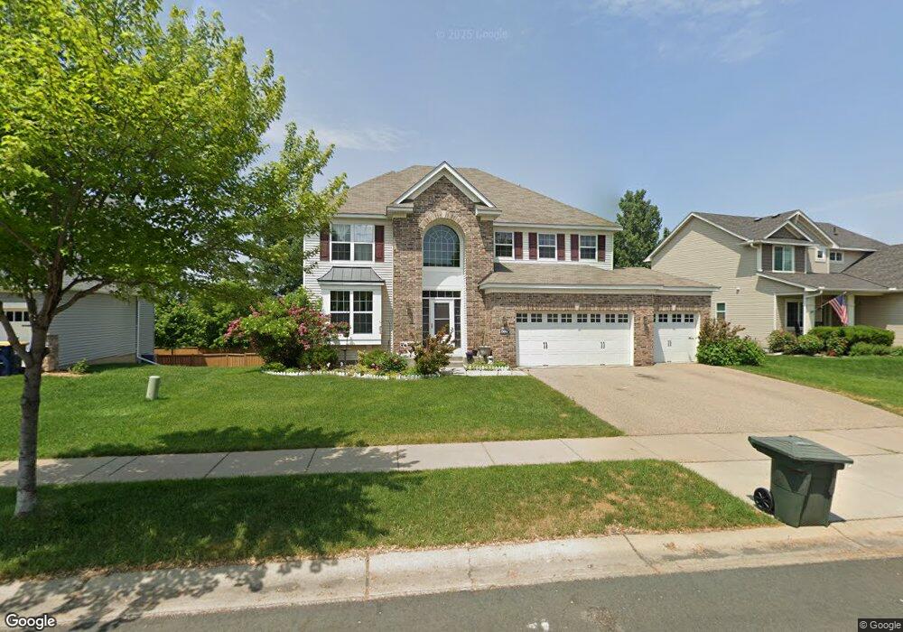
19867 Devrie Path Farmington, MN 55024
Estimated Value: $671,040 - $718,000
5
Beds
5
Baths
3,356
Sq Ft
$206/Sq Ft
Est. Value
About This Home
This home is located at 19867 Devrie Path, Farmington, MN 55024 and is currently estimated at $691,010, approximately $205 per square foot. 19867 Devrie Path is a home located in Dakota County with nearby schools including Riverview Elementary School, Robert Boeckman Middle School, and Farmington High School.
Ownership History
Date
Name
Owned For
Owner Type
Purchase Details
Closed on
Nov 13, 2009
Sold by
The Ryland Group Inc
Bought by
Yang Doua and Yang Kristy
Current Estimated Value
Home Financials for this Owner
Home Financials are based on the most recent Mortgage that was taken out on this home.
Original Mortgage
$258,500
Interest Rate
4.87%
Mortgage Type
New Conventional
Purchase Details
Closed on
May 3, 2006
Sold by
Giles Properties Inc
Bought by
The Ryland Group Inc
Create a Home Valuation Report for This Property
The Home Valuation Report is an in-depth analysis detailing your home's value as well as a comparison with similar homes in the area
Home Values in the Area
Average Home Value in this Area
Purchase History
| Date | Buyer | Sale Price | Title Company |
|---|---|---|---|
| Yang Doua | $323,166 | -- | |
| The Ryland Group Inc | $4,800,000 | -- |
Source: Public Records
Mortgage History
| Date | Status | Borrower | Loan Amount |
|---|---|---|---|
| Previous Owner | Yang Doua | $258,500 |
Source: Public Records
Tax History
| Year | Tax Paid | Tax Assessment Tax Assessment Total Assessment is a certain percentage of the fair market value that is determined by local assessors to be the total taxable value of land and additions on the property. | Land | Improvement |
|---|---|---|---|---|
| 2024 | $8,998 | $695,400 | $115,000 | $580,400 |
| 2023 | $8,998 | $697,400 | $115,200 | $582,200 |
| 2022 | $8,112 | $660,600 | $114,900 | $545,700 |
| 2021 | $7,064 | $556,100 | $112,500 | $443,600 |
| 2020 | $6,958 | $490,900 | $107,100 | $383,800 |
| 2019 | $6,998 | $464,000 | $102,000 | $362,000 |
| 2018 | $6,838 | $457,100 | $97,100 | $360,000 |
| 2017 | $6,800 | $432,100 | $92,500 | $339,600 |
| 2016 | $7,049 | $416,700 | $85,200 | $331,500 |
| 2015 | $6,242 | $419,000 | $82,300 | $336,700 |
| 2014 | -- | $390,367 | $76,322 | $314,045 |
| 2013 | -- | $347,639 | $67,834 | $279,805 |
Source: Public Records
Map
Nearby Homes
- 4560 199th St W
- 4569 196th St W
- 19933 Dover Dr
- 19697 Deerbrooke Path
- 19877 Deerbrooke Path
- 19822 Dawson Ln
- 20140 Akin Rd
- 20050 Dunbar Ave
- 19343 Crystal Terrace
- 4950 193rd St W
- 19330 Ellington Trail
- 3818 192nd St W
- 19150 Echo Ln
- 19752 Meadowlark Way Unit 279
- 20591 Dyers Pass
- 5305 190th St W
- 18932 Dunbury Ave
- 5124 192nd St W
- 19500 Blue Jay Ct
- TBD Colonial Trail
- 19861 Devrie Path
- 19873 Devrie Path
- 19879 Devrie Path
- 19855 Devrie Path
- 19855 Dover Dr
- 19870 Devrie Path
- 19876 Devrie Path
- 19864 Devrie Path
- 19885 Devrie Path
- 19858 Devrie Path
- 19843 Devrie Path
- 19884 Devrie Path
- 19852 Devrie Path
- 19891 Devrie Path
- 19837 Devrie Path
- 19890 Devrie Path
- 19846 Devrie Path
- 4553 199th St W
- 19831 Devrie Path
- 19838 Devrie Path
Your Personal Tour Guide
Ask me questions while you tour the home.