Estimated Value: $156,000 - $298,000
--
Bed
1
Bath
1,920
Sq Ft
$128/Sq Ft
Est. Value
About This Home
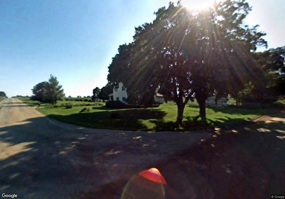
This home is located at 1987 N Warren Rd, Ovid, MI 48866 and is currently estimated at $246,000, approximately $128 per square foot. 1987 N Warren Rd is a home located in Shiawassee County with nearby schools including Leonard Elementary School, E.E. Knight Elementary School, and Ovid-Elsie Middle School.
Ownership History
Date
Name
Owned For
Owner Type
Purchase Details
Closed on
Sep 24, 2021
Sold by
Hunt Dwayne L
Bought by
Nethaway Glen and Nethaway Colleen
Current Estimated Value
Home Financials for this Owner
Home Financials are based on the most recent Mortgage that was taken out on this home.
Original Mortgage
$137,750
Outstanding Balance
$125,615
Interest Rate
2.8%
Mortgage Type
New Conventional
Estimated Equity
$120,385
Purchase Details
Closed on
Sep 30, 2016
Sold by
Hunt Kathleen P and Hunt David L
Bought by
Hunt Dwayne L
Home Financials for this Owner
Home Financials are based on the most recent Mortgage that was taken out on this home.
Original Mortgage
$70,695
Interest Rate
3.25%
Mortgage Type
FHA
Create a Home Valuation Report for This Property
The Home Valuation Report is an in-depth analysis detailing your home's value as well as a comparison with similar homes in the area
Home Values in the Area
Average Home Value in this Area
Purchase History
| Date | Buyer | Sale Price | Title Company |
|---|---|---|---|
| Nethaway Glen | $145,000 | Mid Michigan Title Agency | |
| Hunt Dwayne L | $72,000 | Transnation Title |
Source: Public Records
Mortgage History
| Date | Status | Borrower | Loan Amount |
|---|---|---|---|
| Open | Nethaway Glen | $137,750 | |
| Previous Owner | Hunt Dwayne L | $70,695 |
Source: Public Records
Tax History Compared to Growth
Tax History
| Year | Tax Paid | Tax Assessment Tax Assessment Total Assessment is a certain percentage of the fair market value that is determined by local assessors to be the total taxable value of land and additions on the property. | Land | Improvement |
|---|---|---|---|---|
| 2024 | -- | $0 | $0 | $0 |
| 2023 | $2,850 | $0 | $0 | $0 |
| 2022 | $1,024 | $88,800 | $0 | $0 |
| 2021 | $2,249 | $83,700 | $0 | $0 |
| 2020 | $2,225 | $81,800 | $0 | $0 |
| 2019 | $1,998 | $60,500 | $0 | $0 |
| 2018 | $1,938 | $58,800 | $0 | $0 |
| 2017 | $1,888 | $60,300 | $0 | $0 |
| 2016 | $605 | $60,300 | $0 | $0 |
| 2015 | $605 | $57,700 | $0 | $0 |
| 2014 | $6 | $54,200 | $0 | $0 |
Source: Public Records
Map
Nearby Homes
- 306 N Main St
- 222 N Main St
- 218 W High St
- 228 W Pearl St
- 9882 W M 21
- 210 W Front St
- 217 W Clinton St
- 1279 Leland Rd
- 2230 S Meridian Rd
- 4321 N Upton Rd
- 6687 Winfield Rd
- 323 E Main St
- 228 E Pine St
- 229 W Maple St
- 3525 S Hollister Rd
- 204 W Pine St
- 5752 E Colony Rd
- 0 E Colony Rd Unit 286182
- 3006 W M 21
- 000 W Huff Rd
- 1987 N Warren Rd
- 9188 Wilkinson Rd
- 9188 Wilkinson Rd
- 0 N Warren Rd
- 1788 N Warren Rd
- 9210 Middleton Rd
- 9010 Middleton Rd
- 9112 Middleton Rd
- 9490 Middleton Rd
- 9322 Middleton Rd
- 9322 Middleton Rd
- 9322 Middleton Rd
- 1500 N Warren Rd
- 2550 N Warren Rd
- 9415 Middleton Rd
- 8395 Wilkinson Rd
- 8270 Wilkinson Rd
- 1110 N Warren Rd
- 8988 Mason Rd
- 9880 Middleton Rd