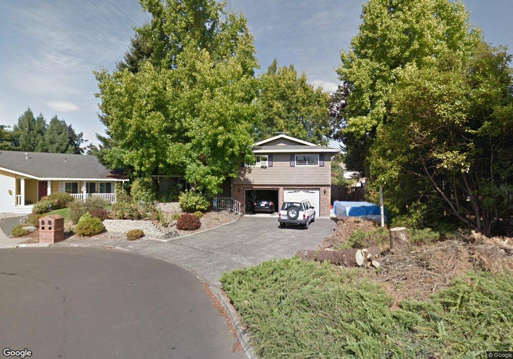
1987 NE Brogden Ct Hillsboro, OR 97124
Central Hillsboro NeighborhoodEstimated Value: $600,046 - $638,000
4
Beds
3
Baths
1,664
Sq Ft
$370/Sq Ft
Est. Value
About This Home
This home is located at 1987 NE Brogden Ct, Hillsboro, OR 97124 and is currently estimated at $616,512, approximately $370 per square foot. 1987 NE Brogden Ct is a home located in Washington County with nearby schools including Eastwood Elementary School, J.W. Poynter Middle School, and Liberty High School.
Ownership History
Date
Name
Owned For
Owner Type
Purchase Details
Closed on
Sep 3, 2020
Sold by
Hoth Mark R
Bought by
Hoth Mark R and The Mark R Hoth Living Trust
Current Estimated Value
Purchase Details
Closed on
Mar 14, 2014
Sold by
Hoth Mark R and Hoth Jacqueline G
Bought by
Hoth Mark R
Home Financials for this Owner
Home Financials are based on the most recent Mortgage that was taken out on this home.
Original Mortgage
$183,000
Interest Rate
4.18%
Mortgage Type
New Conventional
Create a Home Valuation Report for This Property
The Home Valuation Report is an in-depth analysis detailing your home's value as well as a comparison with similar homes in the area
Home Values in the Area
Average Home Value in this Area
Purchase History
| Date | Buyer | Sale Price | Title Company |
|---|---|---|---|
| Hoth Mark R | -- | None Available | |
| Hoth Mark R | -- | None Available |
Source: Public Records
Mortgage History
| Date | Status | Borrower | Loan Amount |
|---|---|---|---|
| Closed | Hoth Mark R | $183,000 |
Source: Public Records
Tax History Compared to Growth
Tax History
| Year | Tax Paid | Tax Assessment Tax Assessment Total Assessment is a certain percentage of the fair market value that is determined by local assessors to be the total taxable value of land and additions on the property. | Land | Improvement |
|---|---|---|---|---|
| 2025 | $5,177 | $316,730 | -- | -- |
| 2024 | $5,030 | $307,510 | -- | -- |
| 2023 | $5,030 | $298,560 | $0 | $0 |
| 2022 | $4,894 | $298,560 | $0 | $0 |
| 2021 | $4,795 | $281,430 | $0 | $0 |
| 2020 | $4,692 | $273,240 | $0 | $0 |
| 2019 | $4,557 | $265,290 | $0 | $0 |
| 2018 | $4,362 | $257,570 | $0 | $0 |
| 2017 | $4,204 | $250,070 | $0 | $0 |
| 2016 | $4,089 | $242,790 | $0 | $0 |
| 2015 | $3,924 | $235,720 | $0 | $0 |
| 2014 | $3,902 | $228,860 | $0 | $0 |
Source: Public Records
Map
Nearby Homes
- 2411 NE Hyde St
- 461 NE 16th Ave
- 319 NE Hyde Cir
- 2570 NE Grant St
- 1303 NE Cornell Rd
- 1184 NE Turner Dr
- 1269 NE Grant St
- 1043 NE Sturgess Ave
- 1822 NE Barberry Dr
- 240 SE 26th Ave
- 3029 NE Azalea St
- 439 SE 24th Ave
- 1518 SE Oak St Unit 2
- 1112 E Main St
- 349 SE Walnut St
- 1740 NE Darby St
- 2080 NE Darby St
- 166 SE 30th Ave
- 960 E Main St
- 1470 SE Walnut St Unit 210
- 1981 NE Brogden Ct
- 311 NE 20th Place
- 1995 NE Brogden Ct
- 332 NE 19th Ave
- 316 NE 19th Ave
- 347 NE 20th Place
- 1969 NE Brogden Ct
- 340 NE 19th Ave
- 301 NE 19th Ave
- 1944 NE Brogden Ct
- 302 NE 20th Place
- 1980 NE Brogden Ct
- 365 NE 20th Place
- 1960 NE Brogden Ct
- 1974 NE Brogden Ct
- 292 NE 20th Place
- 368 NE 19th Ave
- 382 NE 19th Ave
- 270 NE 20th Place
- 344 NE 20th Place