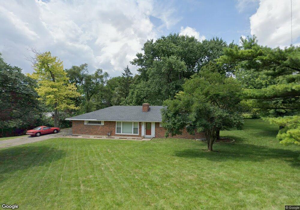
1987 William Ln Dayton, OH 45429
Estimated Value: $276,231 - $359,000
3
Beds
2
Baths
1,906
Sq Ft
$168/Sq Ft
Est. Value
About This Home
This home is located at 1987 William Ln, Dayton, OH 45429 and is currently estimated at $321,077, approximately $168 per square foot. 1987 William Ln is a home located in Montgomery County with nearby schools including Southdale Elementary School, Van Buren Middle School, and Kettering Fairmont High School.
Ownership History
Date
Name
Owned For
Owner Type
Purchase Details
Closed on
Sep 10, 2001
Sold by
Mckinney Fannie E and Mckinney Jason T
Bought by
Couvion Thomas M
Current Estimated Value
Home Financials for this Owner
Home Financials are based on the most recent Mortgage that was taken out on this home.
Original Mortgage
$123,500
Outstanding Balance
$45,558
Interest Rate
6.25%
Estimated Equity
$275,519
Purchase Details
Closed on
Aug 10, 1998
Sold by
Estate Of Thomas C Mckinney
Bought by
Mckinney Fannie E and Mckinney Jason T
Create a Home Valuation Report for This Property
The Home Valuation Report is an in-depth analysis detailing your home's value as well as a comparison with similar homes in the area
Home Values in the Area
Average Home Value in this Area
Purchase History
| Date | Buyer | Sale Price | Title Company |
|---|---|---|---|
| Couvion Thomas M | $130,000 | Midwest Abstract Company | |
| Mckinney Fannie E | -- | -- |
Source: Public Records
Mortgage History
| Date | Status | Borrower | Loan Amount |
|---|---|---|---|
| Open | Couvion Thomas M | $123,500 |
Source: Public Records
Tax History Compared to Growth
Tax History
| Year | Tax Paid | Tax Assessment Tax Assessment Total Assessment is a certain percentage of the fair market value that is determined by local assessors to be the total taxable value of land and additions on the property. | Land | Improvement |
|---|---|---|---|---|
| 2024 | $3,004 | $57,520 | $24,050 | $33,470 |
| 2023 | $3,004 | $57,520 | $24,050 | $33,470 |
| 2022 | $3,655 | $55,340 | $23,130 | $32,210 |
| 2021 | $3,381 | $55,340 | $23,130 | $32,210 |
| 2020 | $3,391 | $55,340 | $23,130 | $32,210 |
| 2019 | $3,656 | $53,190 | $23,130 | $30,060 |
| 2018 | $3,676 | $53,190 | $23,130 | $30,060 |
| 2017 | $3,326 | $52,400 | $23,130 | $29,270 |
| 2016 | $4,703 | $58,120 | $23,130 | $34,990 |
| 2015 | $4,492 | $58,120 | $23,130 | $34,990 |
| 2014 | $4,492 | $58,120 | $23,130 | $34,990 |
| 2012 | -- | $65,940 | $23,130 | $42,810 |
Source: Public Records
Map
Nearby Homes
- 1955 Kresswood Cir
- 4661 Richwood Dr
- 1905 Tait Circle Rd
- 4792 Loxley Dr
- 4301 Tait Rd
- 5048 Oak Manor Ct
- 2571 Cluster Ave
- 2399 Polo Park Dr
- 5239 Mallet Club Dr
- 2430 Turf Club Ct
- 1673 W Stroop Rd
- 5084 Mays Ave
- 1692 Hillwood Dr
- 1524 Hillwood Dr
- 3915 Utica Dr
- 4400 Royal Ridge Way
- 4207 S Dixie Dr
- 5048 Pensacola Blvd
- 4051 Ellery Ave
- 4005 Ellery Ave
- 4760 Burnham Ln
- 4748 Burnham Ln
- 1988 William Ln
- 2050 William Ln
- 4730 Burnham Ln
- 1975 Burnham Ln
- 4747 Burnham Ln
- 1989 Burnham Ln
- 4761 Burnham Ln
- 4733 Burnham Ln
- 1952 William Ln
- 4720 Burnham Ln
- 1955 William Ln
- 4723 Burnham Ln
- 1990 Burnham Ln
- 4646 Cordell Dr
- 4666 Cordell Dr
- 4620 Cordell Dr
- 4680 Cordell Dr
- 4710 Burnham Ln