1988 Hawks Nest Dr Unit 24 Port Orange, FL 32128
Samsula-Spruce Creek NeighborhoodEstimated Value: $952,000 - $1,029,000
3
Beds
3
Baths
4,553
Sq Ft
$217/Sq Ft
Est. Value
About This Home
This home is located at 1988 Hawks Nest Dr Unit 24, Port Orange, FL 32128 and is currently estimated at $988,326, approximately $217 per square foot. 1988 Hawks Nest Dr Unit 24 is a home located in Volusia County with nearby schools including Cypress Creek Elementary School, Creekside Middle School, and Spruce Creek High School.
Ownership History
Date
Name
Owned For
Owner Type
Purchase Details
Closed on
Jul 21, 2005
Sold by
Reckson Paula L
Bought by
Stevens Timothy A and Stevens Judith J
Current Estimated Value
Purchase Details
Closed on
Jan 18, 2002
Sold by
Reckson Charles E and Reckson Paula L
Bought by
Reckson Paula L
Purchase Details
Closed on
Feb 8, 2001
Sold by
Eagles Crest W Inc
Bought by
Reckson Charles E and Reckson Paula L
Create a Home Valuation Report for This Property
The Home Valuation Report is an in-depth analysis detailing your home's value as well as a comparison with similar homes in the area
Home Values in the Area
Average Home Value in this Area
Purchase History
| Date | Buyer | Sale Price | Title Company |
|---|---|---|---|
| Stevens Timothy A | $619,000 | Professional Title Agency In | |
| Reckson Paula L | -- | -- | |
| Reckson Charles E | $398,600 | -- |
Source: Public Records
Tax History Compared to Growth
Tax History
| Year | Tax Paid | Tax Assessment Tax Assessment Total Assessment is a certain percentage of the fair market value that is determined by local assessors to be the total taxable value of land and additions on the property. | Land | Improvement |
|---|---|---|---|---|
| 2025 | $13,744 | $826,813 | $163,863 | $662,950 |
| 2024 | $13,744 | $818,327 | $163,863 | $654,464 |
| 2023 | $13,744 | $763,705 | $163,863 | $599,842 |
| 2022 | $12,831 | $702,666 | $163,863 | $538,803 |
| 2021 | $12,400 | $616,519 | $163,863 | $452,656 |
| 2020 | $12,236 | $607,848 | $163,863 | $443,985 |
| 2019 | $12,941 | $611,747 | $163,863 | $447,884 |
| 2018 | $13,896 | $652,961 | $147,962 | $504,999 |
| 2017 | $13,014 | $585,189 | $147,962 | $437,227 |
| 2016 | $13,213 | $557,690 | $0 | $0 |
| 2015 | $13,061 | $534,454 | $0 | $0 |
| 2014 | $12,181 | $500,866 | $0 | $0 |
Source: Public Records
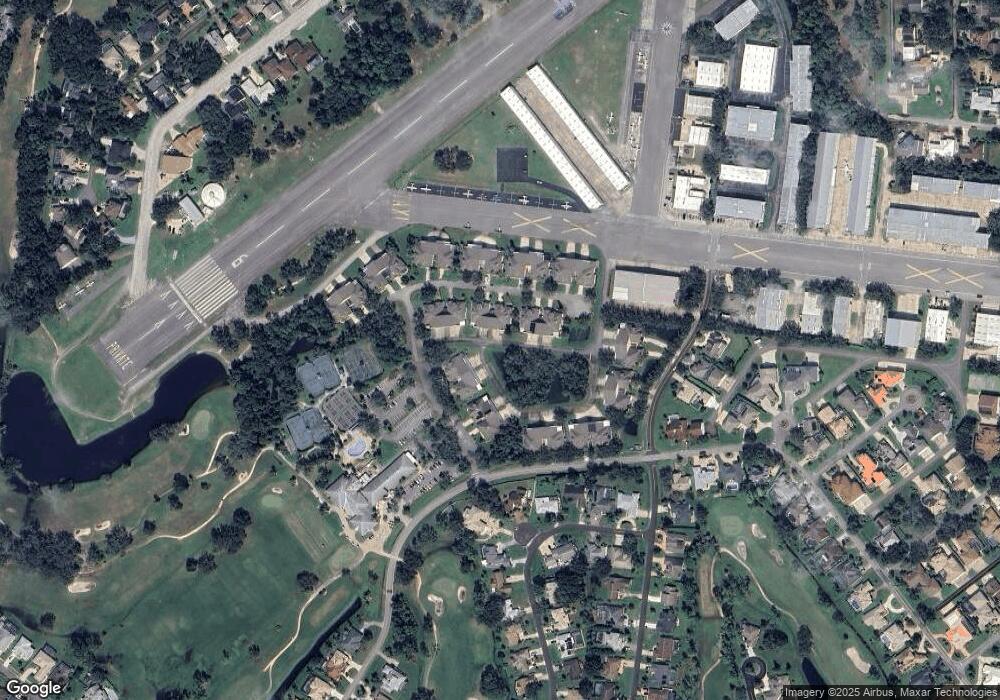
Map
Nearby Homes
- 14 Taxiway Lindy
- 1889 Seclusion Dr
- 2633 Slow Flight Dr
- 2540 Tail Spin Trail
- 1978 Country Club Dr
- 1888 Seclusion Dr
- 1885 Silver Fern Dr Unit 15
- 1882 Royal Lytham Ct
- 1879 Silver Fern Dr
- 2536 Tail Spin Trail
- 3311 Oak Vista Dr
- 52 Taxiway Lindy Loop
- 56 Lazy Eight Dr
- 3184 Royal Birkdale Way
- 1995 Royal Saint George Ct
- 1795 Earhart Ct
- 1903 Sprucewood Way
- 3237 Vail View Dr
- 1981 Rutgers Place
- 1981 Rutgers Place Unit 49
- 1990 Hawks Nest Dr Unit 23
- 1986 Hawks Nest Dr Unit 25
- 1989 Hawks Nest Dr
- 1992 Hawks Nest Dr Unit 22
- 1984 Hawks Nest Dr Unit 26
- 1984 Hawks Nest Dr
- 1994 Hawks Nest Dr
- 1982 Hawks Nest Dr Unit 27
- 1993 Hawks Nest Dr Unit 15
- 1991 Hawks Nest Dr Unit 14
- 1999 Hawks Nest Dr Unit 18
- 1892 Clubhouse Dr Unit 12
- 1892 Clubhouse Dr
- 1996 Hawks Nest Dr Unit 20
- 1978 Hawks Nest Dr Unit 29
- 1978 Hawks Nest Dr
- 1894 Clubhouse Dr
- 217 Cessna Blvd
- 1998 Hawks Nest Dr Unit 19
- 1995 Hawks Nest Dr Unit 16