Estimated Value: $174,657 - $238,000
3
Beds
2
Baths
912
Sq Ft
$227/Sq Ft
Est. Value
About This Home
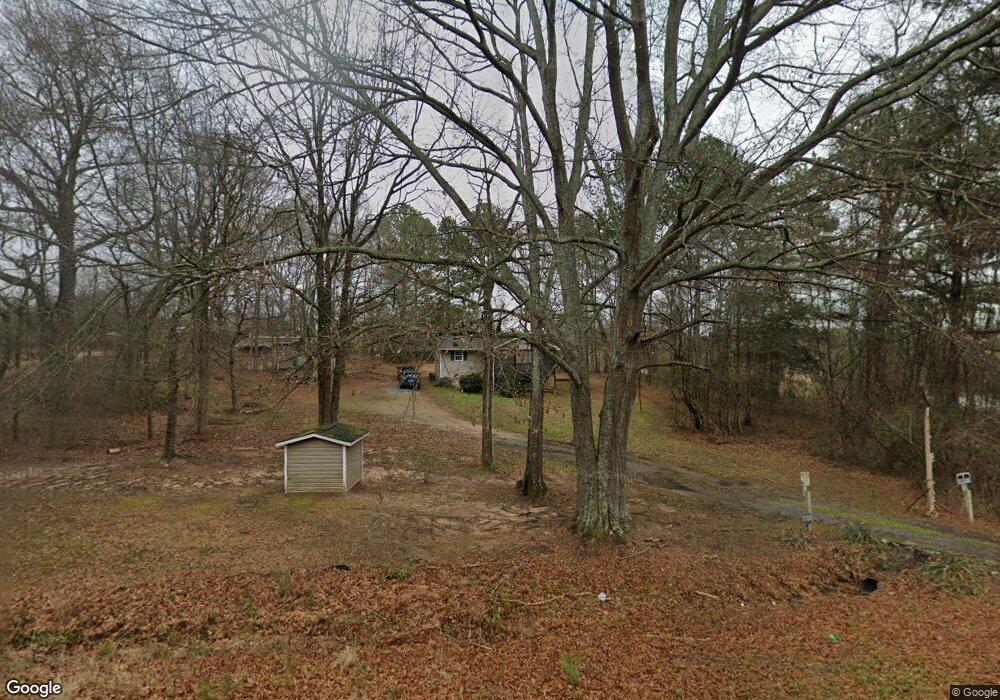
This home is located at 1988 Highway 172, Comer, GA 30629 and is currently estimated at $207,414, approximately $227 per square foot. 1988 Highway 172 is a home located in Madison County with nearby schools including Madison County High School.
Ownership History
Date
Name
Owned For
Owner Type
Purchase Details
Closed on
Jan 23, 2013
Sold by
Dendy Serena Marie
Bought by
Dendy Michael Scott
Current Estimated Value
Purchase Details
Closed on
Jan 31, 2007
Sold by
Pridgen Enterprises Inc
Bought by
Dendy Michael S and Dendy Serena M
Home Financials for this Owner
Home Financials are based on the most recent Mortgage that was taken out on this home.
Original Mortgage
$71,840
Interest Rate
6.08%
Mortgage Type
New Conventional
Purchase Details
Closed on
Jan 1, 1993
Bought by
Martin Marvin
Create a Home Valuation Report for This Property
The Home Valuation Report is an in-depth analysis detailing your home's value as well as a comparison with similar homes in the area
Home Values in the Area
Average Home Value in this Area
Purchase History
| Date | Buyer | Sale Price | Title Company |
|---|---|---|---|
| Dendy Michael Scott | -- | -- | |
| Dendy Michael S | $89,800 | -- | |
| Martin Marvin | $12,500 | -- |
Source: Public Records
Mortgage History
| Date | Status | Borrower | Loan Amount |
|---|---|---|---|
| Previous Owner | Dendy Michael S | $71,840 | |
| Previous Owner | Dendy Michael S | $17,960 |
Source: Public Records
Tax History Compared to Growth
Tax History
| Year | Tax Paid | Tax Assessment Tax Assessment Total Assessment is a certain percentage of the fair market value that is determined by local assessors to be the total taxable value of land and additions on the property. | Land | Improvement |
|---|---|---|---|---|
| 2024 | $917 | $37,251 | $7,862 | $29,389 |
| 2023 | $1,035 | $33,910 | $7,280 | $26,630 |
| 2022 | $843 | $32,555 | $5,005 | $27,550 |
| 2021 | $723 | $25,677 | $5,005 | $20,672 |
| 2020 | $705 | $24,949 | $4,277 | $20,672 |
| 2019 | $697 | $24,425 | $4,277 | $20,148 |
| 2018 | $665 | $23,317 | $3,913 | $19,404 |
| 2017 | $611 | $21,221 | $3,640 | $17,581 |
| 2016 | $452 | $17,751 | $3,308 | $14,443 |
| 2015 | $452 | $17,751 | $3,308 | $14,443 |
| 2014 | $459 | $17,888 | $3,308 | $14,579 |
| 2013 | -- | $17,888 | $3,308 | $14,579 |
Source: Public Records
Map
Nearby Homes
- 0 Lowe Rd Unit 10614126
- 0 Live Oak Ln Unit lot 3
- 0 Live Oak Ln Unit lot 12
- 0 Live Oak Ln Unit lot 5
- 5866 Highway 98 E
- 120 Harold's Way
- 270 Lola St
- 0 Poss Rd Unit 11540856
- 0 Poss Rd Unit 24045642
- 40 Kingston Dr
- 470 Gholston St
- 12 Laurel Ave
- 0 Kingston Rd Unit 10531125
- 3 Paoli St
- 00 Kingston Rd
- 2649 Paoli St
- Trct 1 Paoli St
- 0 Bluff Rd Unit 10591799
- 118 Kingston Rd
- 2062 Highway 172
- 1875 Highway 172
- 1859 Highway 172
- 1886 Highway 172
- 1799 Highway 172
- 2228 Brickyard Rd
- 1799 Highway 172
- 1799 Georgia 172
- 2212 Highway 172
- 2209 Brickyard Rd
- 2188 Brickyard Rd
- 2096 Brickyard Rd
- 1665 Highway 172
- 2191 Brickyard Rd
- 1966 Brickyard Rd
- 1664 Highway 172
- 1832 Brickyard Rd
- 1832 Brickyard Rd
- 0 Hwy 172 Unit 3202486
- 00 Georgia 172