19889 Apache Dr Clinton Township, MI 48038
Estimated Value: $571,000 - $670,000
4
Beds
2
Baths
2,836
Sq Ft
$212/Sq Ft
Est. Value
About This Home
This home is located at 19889 Apache Dr, Clinton Township, MI 48038 and is currently estimated at $600,590, approximately $211 per square foot. 19889 Apache Dr is a home located in Macomb County with nearby schools including Cherokee Elementary School, Wyandot Middle School, and Chippewa Valley High School.
Ownership History
Date
Name
Owned For
Owner Type
Purchase Details
Closed on
Apr 22, 2016
Sold by
Cain Peter S and Cain Leanne M
Bought by
Gatti Scott H and Gatti Julie L
Current Estimated Value
Purchase Details
Closed on
Jan 18, 2012
Sold by
Cain Peter S and Cain Leanne M
Bought by
Cain Peter S and Cain Leanne M
Home Financials for this Owner
Home Financials are based on the most recent Mortgage that was taken out on this home.
Original Mortgage
$193,700
Interest Rate
3.89%
Mortgage Type
New Conventional
Purchase Details
Closed on
Aug 24, 2000
Sold by
Ferro Homes Inc
Bought by
Peter S Cain
Create a Home Valuation Report for This Property
The Home Valuation Report is an in-depth analysis detailing your home's value as well as a comparison with similar homes in the area
Home Values in the Area
Average Home Value in this Area
Purchase History
| Date | Buyer | Sale Price | Title Company |
|---|---|---|---|
| Gatti Scott H | $366,000 | Greco Title Agency Llc | |
| Cain Peter S | -- | None Available | |
| Cain Peter S | -- | None Available | |
| Peter S Cain | $296,900 | -- |
Source: Public Records
Mortgage History
| Date | Status | Borrower | Loan Amount |
|---|---|---|---|
| Previous Owner | Cain Peter S | $193,700 | |
| Closed | Peter S Cain | -- |
Source: Public Records
Tax History Compared to Growth
Tax History
| Year | Tax Paid | Tax Assessment Tax Assessment Total Assessment is a certain percentage of the fair market value that is determined by local assessors to be the total taxable value of land and additions on the property. | Land | Improvement |
|---|---|---|---|---|
| 2025 | $9,073 | $262,800 | $0 | $0 |
| 2024 | $5,406 | $231,100 | $0 | $0 |
| 2023 | $5,127 | $218,300 | $0 | $0 |
| 2022 | $8,221 | $207,100 | $0 | $0 |
| 2021 | $7,995 | $199,600 | $0 | $0 |
| 2020 | $4,704 | $186,500 | $0 | $0 |
| 2019 | $7,870 | $195,200 | $0 | $0 |
| 2018 | $7,708 | $198,100 | $0 | $0 |
| 2017 | $7,638 | $159,500 | $42,600 | $116,900 |
| 2016 | $5,517 | $159,500 | $0 | $0 |
| 2015 | -- | $145,100 | $0 | $0 |
| 2014 | -- | $138,100 | $0 | $0 |
| 2011 | -- | $131,000 | $26,400 | $104,600 |
Source: Public Records
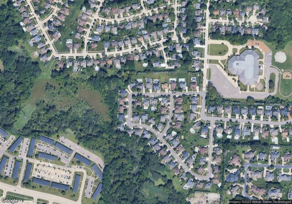
Map
Nearby Homes
- 42680 Chippewa Dr Unit 28
- 43363 Herring Dr
- 43377 Rivergate Dr
- 43274 Hillsboro Dr
- 19790 Westchester Dr Unit 11
- 0 Clinton River Rd Unit 20251013874
- 43373 Brooks Dr
- 19118 Killeen Dr
- 20465 Saint Laurence Dr
- 43673 Welland Dr
- 42002 Coulon Dr
- 41992 Merrimac Cir
- 18960 Sandhurst Dr
- 20561 Longwood Dr Unit 64
- 42407 Creekside Dr Unit 165
- 43852 Columbia Dr
- 42266 Brookview Ln Unit 1
- 41985 Dorchester Ct
- 42328 Sheridan Ct
- 20654 Dunham Rd Unit 24
- 19853 Apache Dr
- 19925 Apache Dr
- 19872 Apache Dr
- 19868 Blackfoot Dr
- 19908 Apache Dr
- 19944 Apache Dr
- 19844 Blackfoot Dr Unit 74
- 42943 Tecumseh Trail
- 19892 Blackfoot Dr Unit 72
- 19836 Apache Dr
- 42935 Tonquish Dr
- 42903 Tecumseh Trail
- 42863 Tecumseh Trail
- 19980 Apache Dr
- 42895 Tonquish Dr
- 42975 Tonquish Dr
- 42855 Tonquish Dr
- 42855 Tonquish Dr Unit 12
- 42823 Tecumseh Trail
- 19863 Blackfoot Dr