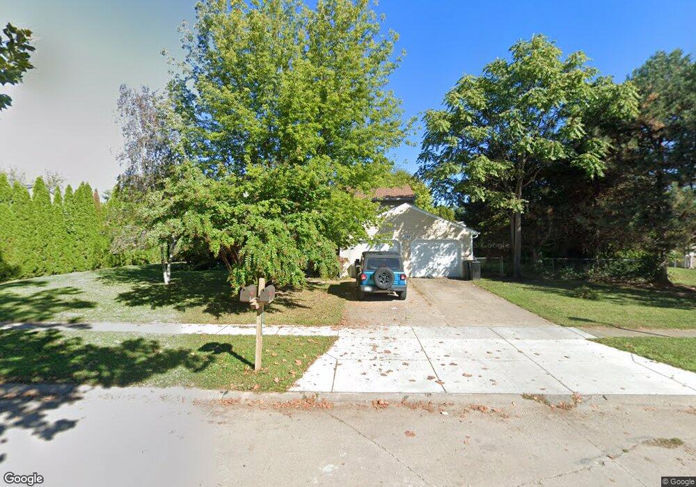
1989 Fox Run Trail Sandusky, OH 44870
Estimated Value: $171,000 - $211,570
6
Beds
4
Baths
2,500
Sq Ft
$74/Sq Ft
Est. Value
About This Home
This home is located at 1989 Fox Run Trail, Sandusky, OH 44870 and is currently estimated at $185,893, approximately $74 per square foot. 1989 Fox Run Trail is a home located in Erie County with nearby schools including Sandusky High School and Monroe Preparatory Academy.
Ownership History
Date
Name
Owned For
Owner Type
Purchase Details
Closed on
Jan 23, 2008
Sold by
Martin Ronald E
Bought by
Johnson Eddie J
Current Estimated Value
Home Financials for this Owner
Home Financials are based on the most recent Mortgage that was taken out on this home.
Original Mortgage
$112,000
Outstanding Balance
$70,844
Interest Rate
6.2%
Mortgage Type
New Conventional
Estimated Equity
$115,049
Purchase Details
Closed on
Dec 3, 1997
Sold by
Burton Richard
Bought by
Martin Ronald
Create a Home Valuation Report for This Property
The Home Valuation Report is an in-depth analysis detailing your home's value as well as a comparison with similar homes in the area
Home Values in the Area
Average Home Value in this Area
Purchase History
| Date | Buyer | Sale Price | Title Company |
|---|---|---|---|
| Johnson Eddie J | $140,000 | Lawyers Title Ins Corp | |
| Martin Ronald | $78,890 | -- |
Source: Public Records
Mortgage History
| Date | Status | Borrower | Loan Amount |
|---|---|---|---|
| Open | Johnson Eddie J | $112,000 |
Source: Public Records
Tax History Compared to Growth
Tax History
| Year | Tax Paid | Tax Assessment Tax Assessment Total Assessment is a certain percentage of the fair market value that is determined by local assessors to be the total taxable value of land and additions on the property. | Land | Improvement |
|---|---|---|---|---|
| 2024 | $1,897 | $48,853 | $11,375 | $37,478 |
| 2023 | $1,897 | $42,731 | $8,886 | $33,845 |
| 2022 | $2,135 | $42,731 | $8,886 | $33,845 |
| 2021 | $2,155 | $42,740 | $8,890 | $33,850 |
| 2020 | $2,286 | $41,680 | $8,890 | $32,790 |
| 2019 | $2,351 | $41,680 | $8,890 | $32,790 |
| 2018 | $2,354 | $41,680 | $8,890 | $32,790 |
| 2017 | $3,060 | $54,030 | $12,440 | $41,590 |
| 2016 | $3,059 | $54,030 | $12,440 | $41,590 |
| 2015 | $2,765 | $54,030 | $12,440 | $41,590 |
| 2014 | $2,748 | $54,030 | $12,440 | $41,590 |
| 2013 | $2,720 | $54,030 | $12,440 | $41,590 |
Source: Public Records
Map
Nearby Homes
- 1996 E Oldgate Rd
- 2033 S Oldgate St
- 2038 Rohde St
- 1200 E Perkins Ave
- 0 E Perkins Ave
- 1910 E Perkins Ave
- 2252 Pipe St
- 1417 E Strub Rd
- 0 Cleveland Rd W
- 1640 Cleveland Rd W
- 32 Marina Point Dr
- 90 Marina Point Dr
- 81 Marina Point Dr Unit 81
- 0 U S 250 Unit 9066253
- 0 U S 250 Unit 9066251
- 0 U S 250 Unit 5105470
- 0 U S 250 Unit 5105459
- 0 U S 250 Unit 20250772
- 0 U S 250 Unit 20250775
- 2501 E Perkins Ave
- 1983 Fox Run Trail
- 1995 Fox Run Trail
- 2058 Heritage Dr
- 2052 Heritage Dr
- 2064 Heritage Dr
- 2070 Heritage Dr
- 1990 Fox Run Trail
- 1996 Fox Run Trail
- 0 Fox Run Trail
- 1977 Fox Run Trail
- 1984 Fox Run Trail
- 2076 Heritage Dr
- 2001 Fox Run Trail
- 242 Heritage Dr
- 148 Heritage Dr
- 150 Heritage Dr
- 0 Heritage II
- 151 Heritage Dr
- 0 Heritage Dr
- 2082 Heritage Dr