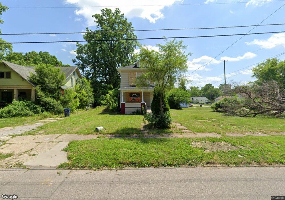
1989 Howard Ave Flint, MI 48503
South Parks NeighborhoodEstimated Value: $77,000 - $94,579
3
Beds
2
Baths
1,632
Sq Ft
$55/Sq Ft
Est. Value
About This Home
This home is located at 1989 Howard Ave, Flint, MI 48503 and is currently estimated at $89,145, approximately $54 per square foot. 1989 Howard Ave is a home located in Genesee County with nearby schools including Freeman Elementary School, Flint Southwestern Classical Academy, and International Academy of Flint (K-12).
Ownership History
Date
Name
Owned For
Owner Type
Purchase Details
Closed on
Mar 5, 2024
Sold by
Genesee Cnty Land Bk Authority
Bought by
Hudson Property Preservation Llc
Current Estimated Value
Purchase Details
Closed on
Dec 18, 2018
Sold by
Genesee County Treasurer
Bought by
Genesee County Land Bank Authority
Purchase Details
Closed on
Jan 24, 2017
Sold by
Wright Craig L
Bought by
Winston Randy
Purchase Details
Closed on
Dec 13, 2016
Sold by
Wright Craig L
Bought by
Winston Randy
Purchase Details
Closed on
Jan 17, 2001
Sold by
Winston Willie B
Bought by
Winston Willie B and The Willie B Winston Revocable Living Tr
Create a Home Valuation Report for This Property
The Home Valuation Report is an in-depth analysis detailing your home's value as well as a comparison with similar homes in the area
Home Values in the Area
Average Home Value in this Area
Purchase History
| Date | Buyer | Sale Price | Title Company |
|---|---|---|---|
| Hudson Property Preservation Llc | $7,000 | None Listed On Document | |
| Genesee County Land Bank Authority | -- | None Available | |
| Winston Randy | -- | None Available | |
| Winston Randy | -- | None Available | |
| Winston Willie B | -- | -- |
Source: Public Records
Tax History
| Year | Tax Paid | Tax Assessment Tax Assessment Total Assessment is a certain percentage of the fair market value that is determined by local assessors to be the total taxable value of land and additions on the property. | Land | Improvement |
|---|---|---|---|---|
| 2025 | $265 | $24,000 | $0 | $0 |
| 2024 | $265 | $0 | $0 | $0 |
| 2023 | -- | $0 | $0 | $0 |
| 2022 | $0 | $0 | $0 | $0 |
| 2021 | $0 | $0 | $0 | $0 |
| 2020 | $0 | $0 | $0 | $0 |
| 2019 | $786 | $0 | $0 | $0 |
| 2018 | $804 | $9,400 | $0 | $0 |
| 2017 | $1,053 | $0 | $0 | $0 |
| 2016 | $786 | $0 | $0 | $0 |
| 2015 | -- | $0 | $0 | $0 |
| 2014 | -- | $0 | $0 | $0 |
| 2012 | -- | $8,200 | $0 | $0 |
Source: Public Records
Map
Nearby Homes
- 2010 Crocker Ave
- 2029 Winans Ave
- 2050 Ferris Ave
- 420 Pingree Ave
- 2221 Howard Ave
- 2224 Crocker Ave
- 1720 Park St
- 1851 Seymour Ave
- 2033 Seymour Ave
- 1701 Park St
- 1510 S Franklin Ave
- 1840 Mcphail St
- 1814 Mcphail St
- 149 E Tobias St
- 1930 Owen St
- 1210 Blanchard Ave
- 149 E Linsey Blvd
- 9211 Owen St
- 915 E 8th St
- 133 E Oakley St
- 1015 Pingree Ave
- 2001 Howard Ave
- 1019 Pingree Ave
- 2000 Aitken Ave
- 1986 Howard Ave
- 2005 Howard Ave
- 1101 Pingree Ave
- 2006 Aitken Ave
- 1977 Howard Ave
- 1978 Howard Ave
- 1974 Howard Ave
- 2002 Howard Ave
- 2009 Howard Ave
- 1966 Howard Ave
- 1970 Howard Ave
- 909 Pingree Ave
- 2010 Aitken Ave
- 2006 Howard Ave
- 2013 Howard Ave
- 905 Pingree Ave
Your Personal Tour Guide
Ask me questions while you tour the home.