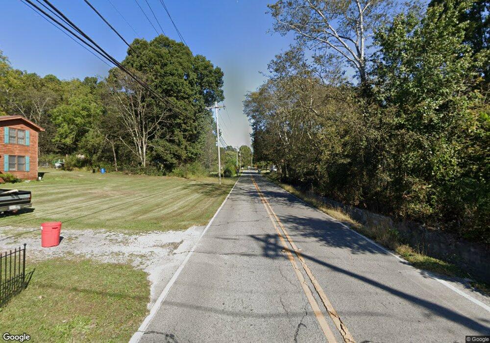
1989 N Highway 341 Rossville, GA 30741
High Point NeighborhoodEstimated Value: $373,000 - $608,000
--
Bed
2
Baths
3,888
Sq Ft
$125/Sq Ft
Est. Value
About This Home
This home is located at 1989 N Highway 341, Rossville, GA 30741 and is currently estimated at $486,321, approximately $125 per square foot. 1989 N Highway 341 is a home located in Walker County with nearby schools including Cherokee Ridge Elementary School, Chattanooga Valley Middle School, and Ridgeland High School.
Ownership History
Date
Name
Owned For
Owner Type
Purchase Details
Closed on
Oct 6, 2004
Sold by
International Cancer Found-
Bought by
Johnson Bennie S and Johnson Martha A
Current Estimated Value
Purchase Details
Closed on
Apr 12, 2004
Sold by
Johnson Bennie S and Johnson Martha
Bought by
International Cancer Found-
Purchase Details
Closed on
Apr 27, 1998
Sold by
Johnson Willa Davis
Bought by
Johnson Bennie S and Johnson Martha
Purchase Details
Closed on
Jan 1, 1972
Bought by
Johnson Willa Davis
Create a Home Valuation Report for This Property
The Home Valuation Report is an in-depth analysis detailing your home's value as well as a comparison with similar homes in the area
Home Values in the Area
Average Home Value in this Area
Purchase History
| Date | Buyer | Sale Price | Title Company |
|---|---|---|---|
| Johnson Bennie S | -- | -- | |
| International Cancer Found- | -- | -- | |
| Johnson Bennie S | -- | -- | |
| Johnson Willa Davis | -- | -- |
Source: Public Records
Tax History Compared to Growth
Tax History
| Year | Tax Paid | Tax Assessment Tax Assessment Total Assessment is a certain percentage of the fair market value that is determined by local assessors to be the total taxable value of land and additions on the property. | Land | Improvement |
|---|---|---|---|---|
| 2024 | $4,244 | $190,624 | $7,840 | $182,784 |
| 2023 | $4,108 | $180,376 | $7,000 | $173,376 |
| 2022 | $2,950 | $118,488 | $2,111 | $116,377 |
| 2021 | $2,986 | $109,025 | $2,111 | $106,914 |
| 2020 | $2,618 | $91,429 | $2,111 | $89,318 |
| 2019 | $2,684 | $91,429 | $2,111 | $89,318 |
| 2018 | $2,419 | $91,429 | $2,111 | $89,318 |
| 2017 | $3,127 | $91,429 | $2,111 | $89,318 |
| 2016 | $2,367 | $91,429 | $2,111 | $89,318 |
| 2015 | $2,308 | $83,607 | $3,104 | $80,503 |
| 2014 | $2,174 | $83,607 | $3,104 | $80,503 |
| 2013 | -- | $83,607 | $3,104 | $80,503 |
Source: Public Records
Map
Nearby Homes
- 413 Harp Switch Rd
- 201 Laurelwood Cir
- 2751 N Highway 341
- 320 Marble Top Rd
- 1343 N Highway 341
- 1080 Harp Switch Rd
- 426 Simmons Tawzer Rd
- 301 Hidden Oaks Dr
- 157 W Lewis St
- 3269 N Highway 341
- 780 Marble Top Rd
- 810 Marble Top Rd
- 433 Stanford Dr
- 144 N Victor Dr
- 0 Roundtree Ct Unit 1514898
- 0 Roundtree Ct Unit RTC2914889
- 3509 N Highway N 341
- 946 Greenhill Dr
- 1907 Grand Center Rd
- 852 Old Grand Center Rd
- 384 Harp Switch Rd
- 148 Laurelwood Cir
- 152 Laurelwood Cir
- 154 Laurelwood Cir
- 160 Laurelwood Cir
- 146 Laurelwood Cir
- 164 Laurelwood Cir
- 144 Laurelwood Cir
- 168 Laurelwood Cir
- 149 Laurelwood Cir
- 151 Laurelwood Cir
- 155 Laurelwood Cir
- 191 Sherry Ln
- 159 Laurelwood Cir
- 412 Harp Switch Rd
- 172 Laurelwood Cir
- 161 Laurelwood Cir
- 140 Laurelwood Cir
- 336 Harp Switch Rd
- 165 Laurelwood Cir
