Estimated Value: $389,391 - $402,000
--
Bed
--
Bath
1,659
Sq Ft
$238/Sq Ft
Est. Value
About This Home
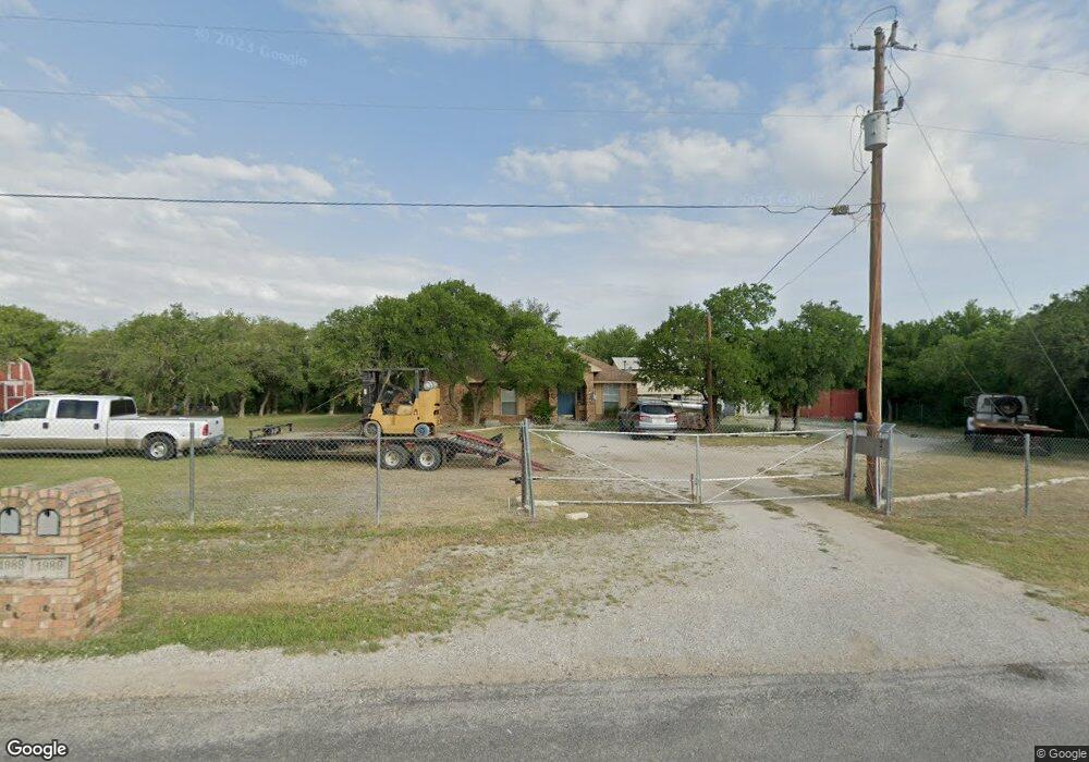
This home is located at 1989 Reynolds Dr, Azle, TX 76020 and is currently estimated at $394,598, approximately $237 per square foot. 1989 Reynolds Dr is a home located in Parker County with nearby schools including Azle Elementary School, Azle Junior High School, and Azle High School.
Ownership History
Date
Name
Owned For
Owner Type
Purchase Details
Closed on
Dec 6, 2023
Sold by
Aiken Leslie S and Aiken Ruth H
Bought by
Collins Bradley J and Sims Teagan Makenna
Current Estimated Value
Purchase Details
Closed on
Apr 23, 2004
Sold by
Murphy Anastasia M
Bought by
Aiken Leslie S and Willson Ruth
Purchase Details
Closed on
Mar 30, 2001
Sold by
Luttrell Elizabeth
Bought by
Aiken Leslie S and Willson Ruth
Purchase Details
Closed on
Jul 19, 1995
Bought by
Aiken Leslie S and Willson Ruth
Create a Home Valuation Report for This Property
The Home Valuation Report is an in-depth analysis detailing your home's value as well as a comparison with similar homes in the area
Home Values in the Area
Average Home Value in this Area
Purchase History
| Date | Buyer | Sale Price | Title Company |
|---|---|---|---|
| Collins Bradley J | -- | None Listed On Document | |
| Aiken Leslie S | -- | -- | |
| Aiken Leslie S | -- | -- | |
| Aiken Leslie S | -- | -- |
Source: Public Records
Tax History Compared to Growth
Tax History
| Year | Tax Paid | Tax Assessment Tax Assessment Total Assessment is a certain percentage of the fair market value that is determined by local assessors to be the total taxable value of land and additions on the property. | Land | Improvement |
|---|---|---|---|---|
| 2025 | $2,330 | $408,950 | $156,560 | $252,390 |
| 2024 | $2,330 | $391,640 | $121,500 | $270,140 |
| 2023 | $2,330 | $257,670 | $0 | $0 |
| 2022 | $4,335 | $234,250 | $62,760 | $171,490 |
| 2021 | $4,542 | $234,250 | $62,760 | $171,490 |
| 2020 | $4,216 | $218,660 | $43,490 | $175,170 |
| 2019 | $4,136 | $218,660 | $43,490 | $175,170 |
| 2018 | $3,772 | $188,620 | $30,450 | $158,170 |
| 2017 | $3,267 | $188,620 | $30,450 | $158,170 |
| 2016 | $2,971 | $152,050 | $30,450 | $121,600 |
| 2015 | $969 | $152,050 | $30,450 | $121,600 |
| 2014 | $2,301 | $147,800 | $30,450 | $117,350 |
Source: Public Records
Map
Nearby Homes
- 595 Flat Rock Rd
- 405 Glade Crest Rd
- TBD 2 Flat Rock Rd
- Lot 143 Blk 4 Veal Station Rd
- 6021 Piper Anne St
- 1550 S Stewart St
- 255 Baughman Hill Rd
- TBD Flat Rock Rd
- 4024 Olivia Lucille St
- 1020 Don Eve Ct
- 181 Churchill Cir
- 1017 Don Eve Ct
- 1013 Don Eve Ct
- 1016 Don Eve Ct
- 1032 Don Eve Ct
- 1028 Don Eve Ct
- 1024 Don Eve Ct
- 1025 Don Eve Ct
- 1008 Don Eve Ct
- 1012 Don Eve Ct
- 1981 Reynolds Dr
- 1988 Reynolds Dr
- 457 Flat Rock Rd
- 1973 Reynolds Dr
- 1972 Reynolds Dr
- 498 Flat Rock Rd
- 405 Flat Rock Rd
- 1001 Bradley Dr
- 1960 Reynolds Dr
- 1965 Reynolds Dr
- 1009 Bradley Dr
- 11468 Fm Rd 730
- 11500 S Fm 730
- 11500 S Fm 730
- 1017 Bradley Dr
- 1957 Reynolds Dr
- 1000 Bradley Dr
- 11468 S Fm 730
- 1948 Reynolds Dr
- 301 Flat Rock Rd