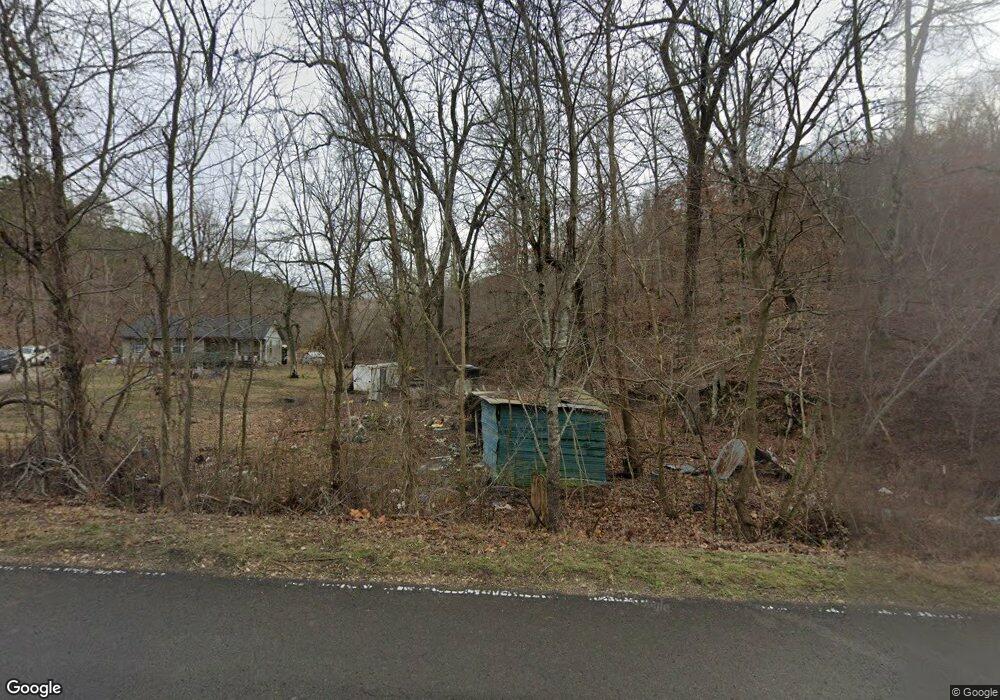
19893 E 626 Rd Tahlequah, OK 74464
Estimated Value: $197,000 - $239,000
3
Beds
2
Baths
1,184
Sq Ft
$182/Sq Ft
Est. Value
About This Home
This home is located at 19893 E 626 Rd, Tahlequah, OK 74464 and is currently estimated at $215,173, approximately $181 per square foot. 19893 E 626 Rd is a home located in Cherokee County with nearby schools including Oaks-Mission Elementary School and Oaks-Mission High School.
Ownership History
Date
Name
Owned For
Owner Type
Purchase Details
Closed on
Jan 4, 2013
Sold by
Needful Provision Inc
Bought by
Francis Dion O and Francis Shannon T
Current Estimated Value
Home Financials for this Owner
Home Financials are based on the most recent Mortgage that was taken out on this home.
Original Mortgage
$107,352
Outstanding Balance
$47,395
Interest Rate
3.35%
Mortgage Type
New Conventional
Estimated Equity
$167,778
Purchase Details
Closed on
Feb 12, 2004
Sold by
Shannon Francis
Bought by
Shannon and Dion Francis
Purchase Details
Closed on
Jul 11, 2003
Sold by
Dion O Francis
Bought by
Shannon Francis
Purchase Details
Closed on
Aug 4, 1999
Sold by
Jeffery Whorton
Bought by
Shannon Dion O and Shannon Francis
Purchase Details
Closed on
Mar 19, 1997
Sold by
Rg Higginbotham
Bought by
Jeffery Whorton
Create a Home Valuation Report for This Property
The Home Valuation Report is an in-depth analysis detailing your home's value as well as a comparison with similar homes in the area
Home Values in the Area
Average Home Value in this Area
Purchase History
| Date | Buyer | Sale Price | Title Company |
|---|---|---|---|
| Francis Dion O | $13,500 | Cherokee Capitol Abstract & | |
| Shannon | -- | -- | |
| Shannon Francis | -- | -- | |
| Shannon Dion O | $57,000 | -- | |
| Jeffery Whorton | $10,000 | -- |
Source: Public Records
Mortgage History
| Date | Status | Borrower | Loan Amount |
|---|---|---|---|
| Open | Francis Dion O | $107,352 |
Source: Public Records
Tax History Compared to Growth
Tax History
| Year | Tax Paid | Tax Assessment Tax Assessment Total Assessment is a certain percentage of the fair market value that is determined by local assessors to be the total taxable value of land and additions on the property. | Land | Improvement |
|---|---|---|---|---|
| 2025 | $651 | $10,036 | $1,361 | $8,675 |
| 2024 | $642 | $9,902 | $1,361 | $8,541 |
| 2023 | $642 | $9,613 | $1,361 | $8,252 |
| 2022 | $616 | $9,547 | $1,746 | $7,801 |
| 2021 | $616 | $9,547 | $1,746 | $7,801 |
| 2020 | $616 | $9,547 | $1,746 | $7,801 |
| 2019 | $616 | $9,547 | $1,746 | $7,801 |
| 2018 | $616 | $9,547 | $1,746 | $7,801 |
| 2017 | $620 | $9,593 | $1,361 | $8,232 |
| 2016 | $620 | $9,593 | $1,361 | $8,232 |
| 2015 | $343 | $9,978 | $1,746 | $8,232 |
| 2014 | $343 | $5,867 | $522 | $5,345 |
Source: Public Records
Map
Nearby Homes
- 4422 Highway 82a
- Hwy 82a Lot Unit WP001
- 0000 S Hwy 82 A
- 7002 N 559 Rd
- 0 N 510 Rd Unit 2543283
- 0 N 510 Rd Unit 2543284
- 0 N 510 Rd Unit 2543190
- 0 N 510 Rd Unit 2547590
- 0 N 510 Rd Unit 2543294
- 0 N 510 Rd Unit 2543293
- 0 N 510 Rd Unit 2546232
- 0 N 510 Rd Unit 2543297
- 00000 E 660 Rd
- 1370 E 580 Rd
- 8119 N 544 Rd
- 8195 Hwy 82 A
- 5690 E 570 Rd
- 0 0 Unit 1084047
- TBD S 520 Rd
- 0 S 520 Rd Unit 1328464
- 19994 E 626 Rd
- 4104 N 535 Rd
- 20287 E 626 Rd
- 20293 E 626 Rd
- 20282 E 626 Rd
- 20353 E 626 Rd
- 19564 E 626 Rd
- 19925 E 613 Rd
- 0 E 613 Rd Unit 2100261
- 20217 E 613 Rd
- 19546 E 626 Rd
- 4109 N 535 Rd
- 19518 E 626 Rd
- 20361 E 613 Rd
- 19427 E 626 Rd
- 4335 N 535 Rd
- 4317 N 535 Rd
- 20397 E 626 Rd
- 19861 E 613 Rd
- 20230 E 613 Rd
