19895 Us Highway 70 Durant, OK 74701
Estimated Value: $149,816 - $221,000
2
Beds
2
Baths
1,092
Sq Ft
$175/Sq Ft
Est. Value
About This Home
This home is located at 19895 Us Highway 70, Durant, OK 74701 and is currently estimated at $191,272, approximately $175 per square foot. 19895 Us Highway 70 is a home located in Bryan County with nearby schools including Rock Creek Elementary School and Rock Creek High School.
Ownership History
Date
Name
Owned For
Owner Type
Purchase Details
Closed on
May 17, 2022
Sold by
Burkett and Tammie
Bought by
Wilson Randall Joell and Wilson Brenda Lou
Current Estimated Value
Purchase Details
Closed on
Jul 29, 1998
Sold by
Butler Donald and Butler Dorothy
Bought by
Burkett Noel and Burkett Tammie
Purchase Details
Closed on
May 25, 1996
Sold by
Mcclellan Billy and Mcclellan Billie
Bought by
Butler Donald and Butler Dorothy
Purchase Details
Closed on
Nov 22, 1991
Sold by
Sheriff (Moore Michael)
Bought by
Sec Of Vet Affairs
Create a Home Valuation Report for This Property
The Home Valuation Report is an in-depth analysis detailing your home's value as well as a comparison with similar homes in the area
Home Values in the Area
Average Home Value in this Area
Purchase History
| Date | Buyer | Sale Price | Title Company |
|---|---|---|---|
| Wilson Randall Joell | -- | None Listed On Document | |
| Burkett Noel | $30,000 | -- | |
| Butler Donald | $25,000 | -- | |
| Sec Of Vet Affairs | -- | -- |
Source: Public Records
Tax History Compared to Growth
Tax History
| Year | Tax Paid | Tax Assessment Tax Assessment Total Assessment is a certain percentage of the fair market value that is determined by local assessors to be the total taxable value of land and additions on the property. | Land | Improvement |
|---|---|---|---|---|
| 2025 | $534 | $7,361 | $1,269 | $6,092 |
| 2024 | $534 | $7,147 | $1,232 | $5,915 |
| 2023 | $534 | $6,938 | $1,215 | $5,723 |
| 2022 | $497 | $6,736 | $1,192 | $5,544 |
| 2021 | $1,132 | $15,368 | $1,715 | $13,653 |
| 2020 | $1,100 | $14,921 | $1,661 | $13,260 |
| 2019 | $1,127 | $14,487 | $1,608 | $12,879 |
| 2018 | $1,098 | $14,065 | $1,643 | $12,422 |
| 2017 | $1,071 | $13,655 | $1,484 | $12,171 |
| 2016 | $966 | $13,257 | $602 | $12,655 |
| 2015 | $904 | $13,257 | $602 | $12,655 |
| 2014 | $904 | $13,257 | $602 | $12,655 |
Source: Public Records
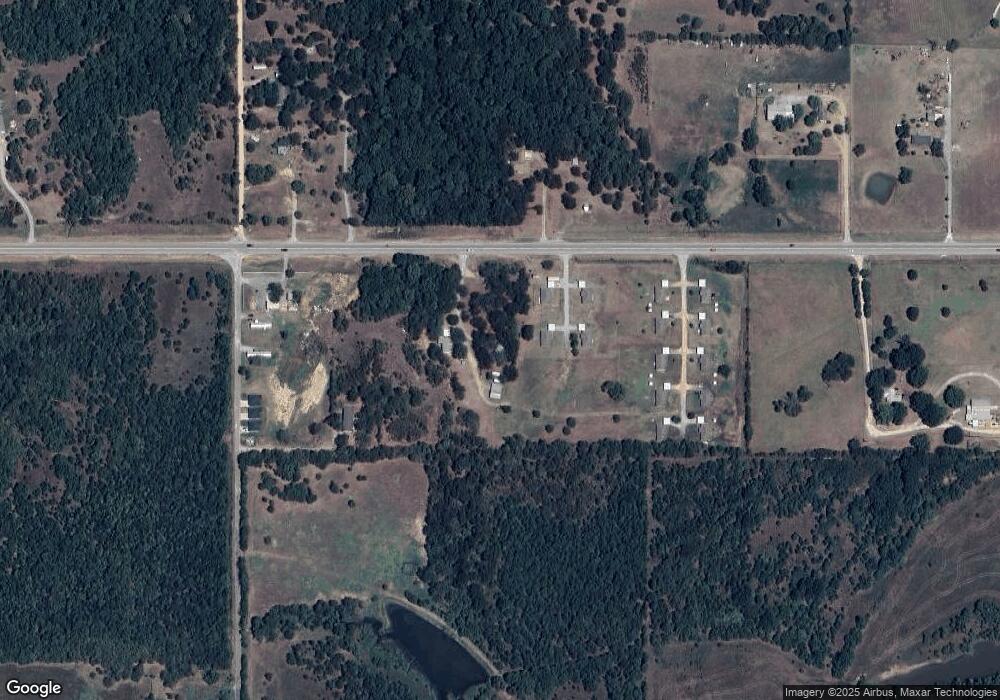
Map
Nearby Homes
- 1163 N3780 Rd
- 1227 S Risner Rd
- 345 Kat's Ave
- 0 Roberta Rd Unit 2529005
- 798 S Lone Oak Rd
- 418 E2085 Rd
- 0 S Hoover St
- 7916 Old Highway 70
- 17096 US Highway 70
- 0 1 Well Rd
- 177 Founders Ln
- 23007 U S 70
- 647 Sawmill Rd
- 0 N Philadelphia Rd
- 001 N Philadelphia Rd
- 2 Sawmill Rd
- 72 Horizon Cir
- 400 N Lone Oak Rd
- 1836 Sawmill Rd
- 2551 U S 70
- 19942 Us Highway 70
- 268 S Risner Rd
- 20194 Us Highway 70
- 396 S Risner Rd
- 398 S Risner Rd
- 1163 N Risner Rd
- 490 S Risner Rd
- 223 Papa Hall Rd
- 573 S Risner Rd
- 20466 Us Highway 70
- 579 S Risner Rd
- 712 S Risner Rd
- 651 N Risner Rd
- 123 Sooners Rd
- 154 Sooners Rd
- 162 S Pirtle Rd
- 20467 Us Highway 70
- 262 S Pirtle Rd
- 000 Pirtle
- 193 N Pirtle Rd