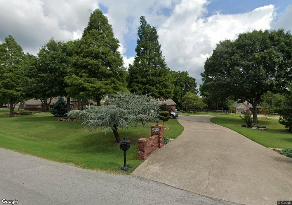
19897 E 74th St N Owasso, OK 74055
Estimated Value: $508,000 - $549,000
3
Beds
2
Baths
2,844
Sq Ft
$184/Sq Ft
Est. Value
About This Home
This home is located at 19897 E 74th St N, Owasso, OK 74055 and is currently estimated at $523,742, approximately $184 per square foot. 19897 E 74th St N is a home located in Rogers County with nearby schools including Stone Canyon Elementary School, Owasso 6th Grade Center, and Owasso 8th Grade Center.
Ownership History
Date
Name
Owned For
Owner Type
Purchase Details
Closed on
Apr 23, 2025
Sold by
Moseby Roger L and Moseby Sally S
Bought by
Roger Lee Moseby And Sally Sue Moseby Revocab and Moseby
Current Estimated Value
Purchase Details
Closed on
Mar 21, 2002
Sold by
Simmons Homes Residential
Bought by
Moseby Roger L and Moseby Sally S
Purchase Details
Closed on
Sep 4, 2001
Sold by
Kourtis Properies-Cooper~Ranch
Create a Home Valuation Report for This Property
The Home Valuation Report is an in-depth analysis detailing your home's value as well as a comparison with similar homes in the area
Purchase History
| Date | Buyer | Sale Price | Title Company |
|---|---|---|---|
| Roger Lee Moseby And Sally Sue Moseby Revocab | -- | None Listed On Document | |
| Moseby Roger L | $235,000 | -- | |
| -- | $51,000 | -- |
Source: Public Records
Tax History
| Year | Tax Paid | Tax Assessment Tax Assessment Total Assessment is a certain percentage of the fair market value that is determined by local assessors to be the total taxable value of land and additions on the property. | Land | Improvement |
|---|---|---|---|---|
| 2025 | $4,153 | $39,171 | $10,707 | $28,464 |
| 2024 | $4,100 | $38,030 | $10,395 | $27,635 |
| 2023 | $4,100 | $36,923 | $9,900 | $27,023 |
| 2022 | $4,046 | $36,921 | $6,160 | $30,761 |
| 2021 | $4,048 | $37,338 | $6,160 | $31,178 |
| 2020 | $4,039 | $37,290 | $6,160 | $31,130 |
| 2019 | $4,024 | $37,145 | $6,160 | $30,985 |
| 2018 | $3,931 | $37,489 | $6,160 | $31,329 |
| 2017 | $3,884 | $36,720 | $6,160 | $30,560 |
| 2016 | $3,771 | $35,650 | $6,160 | $29,490 |
| 2015 | $3,795 | $35,502 | $6,160 | $29,342 |
| 2014 | $3,794 | $35,356 | $6,160 | $29,196 |
Source: Public Records
Map
Nearby Homes
- 7390 N 199th East Ave
- 7296 N 200th East Ave
- 20033 E 75th Ct N
- 7235 N 198th East Ave
- 7408 N 202nd East Ave
- 19524 E 74th Place N
- 7177 N 196th East Ave
- 7250 N 194th East Ave
- 19629 E Boulder Dr
- 19551 E Slate Dr
- 19460 E Boulder Dr
- 20030 E Chinquapin Ln
- 18894 E 80th St N
- 7160 Bluebird Ct
- 6531 S Ridgeview Rd
- 7701 Remington Way
- 18522 E 79th St N
- 18525 Onyx Pass
- 7766 Remington Way
- 6502 N Oakwood Cir
- 19917 E 74th St N
- 7393 N 199th East Ave
- 20012 E 75th St N
- 7469 N 198th East Ct
- 7373 N 199th East Ave
- 7480 N 198th East Ct
- 7480 N 198th Ct E
- 7536 N 200th East Ave
- 7536 N 200th Ave E
- 7373 N 199th Ave E
- 7360 N 199th East Ave
- 19792 E 74th St N
- 7556 N 200th East Ave
- 7556 N 200th East Ave
- 20042 E 75th St N
- 7353 N 199th Ave E
- 7353 N 199th East Ave
- 7429 N 198th East Ct
- 7460 N 198th East Ct
- 7576 N 200th East Ave
Your Personal Tour Guide
Ask me questions while you tour the home.