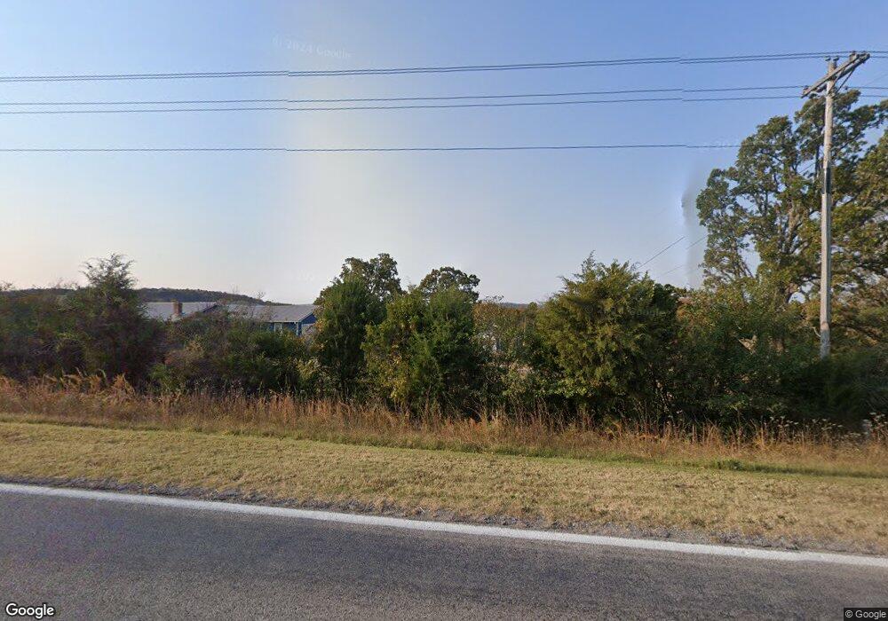
19897 Highway 74 Elkins, AR 72727
Estimated Value: $538,285 - $774,000
5
Beds
3
Baths
2,773
Sq Ft
$230/Sq Ft
Est. Value
About This Home
This home is located at 19897 Highway 74, Elkins, AR 72727 and is currently estimated at $638,821, approximately $230 per square foot. 19897 Highway 74 is a home located in Washington County with nearby schools including Elkins Elementary Primary School, Elkins Elementary School, and Elkins Middle School.
Ownership History
Date
Name
Owned For
Owner Type
Purchase Details
Closed on
Mar 27, 2014
Sold by
Thacker Glenna K and Thacker Gregory B
Bought by
Rownak Joe and Rownak Emily
Current Estimated Value
Purchase Details
Closed on
Jun 5, 2007
Sold by
Slavens James D and Slavens Mary C
Bought by
Slavens James D
Home Financials for this Owner
Home Financials are based on the most recent Mortgage that was taken out on this home.
Original Mortgage
$144,000
Interest Rate
7%
Mortgage Type
New Conventional
Purchase Details
Closed on
Oct 27, 1994
Bought by
Slavens James D and Slavens Mary C
Create a Home Valuation Report for This Property
The Home Valuation Report is an in-depth analysis detailing your home's value as well as a comparison with similar homes in the area
Home Values in the Area
Average Home Value in this Area
Purchase History
| Date | Buyer | Sale Price | Title Company |
|---|---|---|---|
| Rownak Joe | $295,000 | None Available | |
| Slavens James D | -- | None Available | |
| Slavens James D | $30,000 | -- |
Source: Public Records
Mortgage History
| Date | Status | Borrower | Loan Amount |
|---|---|---|---|
| Previous Owner | Slavens James D | $144,000 |
Source: Public Records
Tax History Compared to Growth
Tax History
| Year | Tax Paid | Tax Assessment Tax Assessment Total Assessment is a certain percentage of the fair market value that is determined by local assessors to be the total taxable value of land and additions on the property. | Land | Improvement |
|---|---|---|---|---|
| 2024 | $3,224 | $85,070 | $9,280 | $75,790 |
| 2023 | $3,032 | $85,070 | $9,280 | $75,790 |
| 2022 | $2,710 | $53,650 | $4,880 | $48,770 |
| 2021 | $2,649 | $53,650 | $4,880 | $48,770 |
| 2020 | $2,430 | $53,650 | $4,880 | $48,770 |
| 2019 | $2,193 | $43,260 | $3,760 | $39,500 |
| 2018 | $2,193 | $43,260 | $3,760 | $39,500 |
| 2017 | $2,172 | $43,260 | $3,760 | $39,500 |
| 2016 | $2,172 | $43,260 | $3,760 | $39,500 |
| 2015 | $2,172 | $43,260 | $3,760 | $39,500 |
| 2014 | $1,795 | $42,730 | $3,230 | $39,500 |
Source: Public Records
Map
Nearby Homes
- 20096 E Hwy 74 Hwy
- 20409 E Hwy 74
- 0 Mt T Bo Ln Unit 1303600
- 19398 Tuttle Rd
- 19641 Conestoga Rd
- 479 Jason St
- 491 Jason St
- RC Taylor Plan at Stokenbury
- RC Glenwood Plan at Stokenbury
- RC Franklin Plan at Stokenbury
- RC Carnegie II Plan at Stokenbury
- RC Kinsley II Plan at Stokenbury
- RC Keswick Plan at Stokenbury
- RC Raleigh Plan at Stokenbury
- RC Coleman Plan at Stokenbury
- RC Foster II Plan at Stokenbury
- RC Ross Plan at Stokenbury
- 11.74 AC N Center St
- 425 Richland Creek Ave
- 429 Saydi St
- 19897 Hwy 74
- 0 Hwy 74 42 69a Unit 596323
- 19897 E 74 Hwy E
- 19979 Highway 74
- 19996 Highway 74
- 12584 Silver Birch Trace
- 12550 Silver Birch Trace
- 20046 Highway 74
- 12578 Silver Birch Trace
- 12570 Silver Birch Trace
- 20112 Highway 74
- 12470 Silver Birch Terrace
- 00000 Silver Birch Terrace
- 00000 Silver Birch Trace
- 12470 Silver Birch Trace
- 12540 Silver Birch Trace
- 20108 Highway 74
- 20065 Highway 74
- Lot 7B Silver Birch Trace
- Lot 7C Silver Birch Trace