19897 State Route 511 Wellington, OH 44090
Estimated Value: $250,000 - $294,208
3
Beds
2
Baths
1,493
Sq Ft
$181/Sq Ft
Est. Value
About This Home
This home is located at 19897 State Route 511, Wellington, OH 44090 and is currently estimated at $269,552, approximately $180 per square foot. 19897 State Route 511 is a home located in Lorain County with nearby schools including Westwood Elementary School, McCormick Middle School, and Wellington High School.
Ownership History
Date
Name
Owned For
Owner Type
Purchase Details
Closed on
May 24, 2013
Sold by
Spencer Nanette M
Bought by
Spencer Thomas M
Current Estimated Value
Purchase Details
Closed on
Sep 3, 1998
Sold by
Long Wayne A and Long Diane M
Bought by
Spencer Thomas M
Home Financials for this Owner
Home Financials are based on the most recent Mortgage that was taken out on this home.
Original Mortgage
$66,500
Outstanding Balance
$14,353
Interest Rate
7.02%
Estimated Equity
$255,199
Create a Home Valuation Report for This Property
The Home Valuation Report is an in-depth analysis detailing your home's value as well as a comparison with similar homes in the area
Home Values in the Area
Average Home Value in this Area
Purchase History
| Date | Buyer | Sale Price | Title Company |
|---|---|---|---|
| Spencer Thomas M | -- | -- | |
| Spencer Thomas M | $87,500 | Midland Title |
Source: Public Records
Mortgage History
| Date | Status | Borrower | Loan Amount |
|---|---|---|---|
| Open | Spencer Thomas M | $66,500 |
Source: Public Records
Tax History Compared to Growth
Tax History
| Year | Tax Paid | Tax Assessment Tax Assessment Total Assessment is a certain percentage of the fair market value that is determined by local assessors to be the total taxable value of land and additions on the property. | Land | Improvement |
|---|---|---|---|---|
| 2024 | $3,327 | $79,321 | $17,518 | $61,803 |
| 2023 | $2,367 | $49,973 | $17,028 | $32,946 |
| 2022 | $2,338 | $49,973 | $17,028 | $32,946 |
| 2021 | $2,339 | $49,973 | $17,028 | $32,946 |
| 2020 | $2,110 | $41,920 | $14,280 | $27,640 |
| 2019 | $2,075 | $41,920 | $14,280 | $27,640 |
| 2018 | $2,032 | $41,920 | $14,280 | $27,640 |
| 2017 | $1,984 | $37,130 | $9,480 | $27,650 |
| 2016 | $1,982 | $37,130 | $9,480 | $27,650 |
| 2015 | $1,978 | $37,130 | $9,480 | $27,650 |
| 2014 | $2,048 | $38,040 | $9,710 | $28,330 |
| 2013 | $2,046 | $38,040 | $9,710 | $28,330 |
Source: Public Records
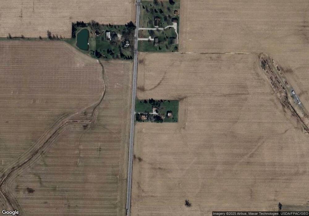
Map
Nearby Homes
- 20303 Mosher Rd
- 20011 Gore Orphanage Rd
- 52025 Betts Rd
- 18315 Gifford Rd
- 20765 Quarry Rd
- 22697 Gore Orphanage Rd
- 18233 Quarry Rd
- 0 Butler Rd N
- 21251 Pitts Rd
- 48685 Ohio 303
- 0 Peck Wadsworth Rd
- 15806 State Route 511
- 111 S Mill St
- 1491 Vesta Rd
- 202 S State St
- 112 Vine St
- 115 Vine St
- 16873 Pitts Rd
- 16815 Pitts Rd
- 220 Woodland St
- 19779 Ohio 511
- 19779 State Route 511
- 19751 State Route 511
- 19800 State Route 511
- 19695 State Route 511
- 20211 State Route 511
- 19590 State Route 511
- 19590 State Route 511
- 20270 State Route 511
- 19567 State Route 511
- 50690 Peck Wadsworth Rd
- 50883 Peck Wadsworth Rd
- 20487 State Route 511
- 50266 Peck Wadsworth Rd
- 50264 Peck Wadsworth Rd
- 51502 Peck Wadsworth Rd
- 51327 Peck Wadsworth Rd
- 50510 Peck Wadsworth Rd
- 50455 Peck Wadsworth Rd
- 50334 Peck Wadsworth Rd