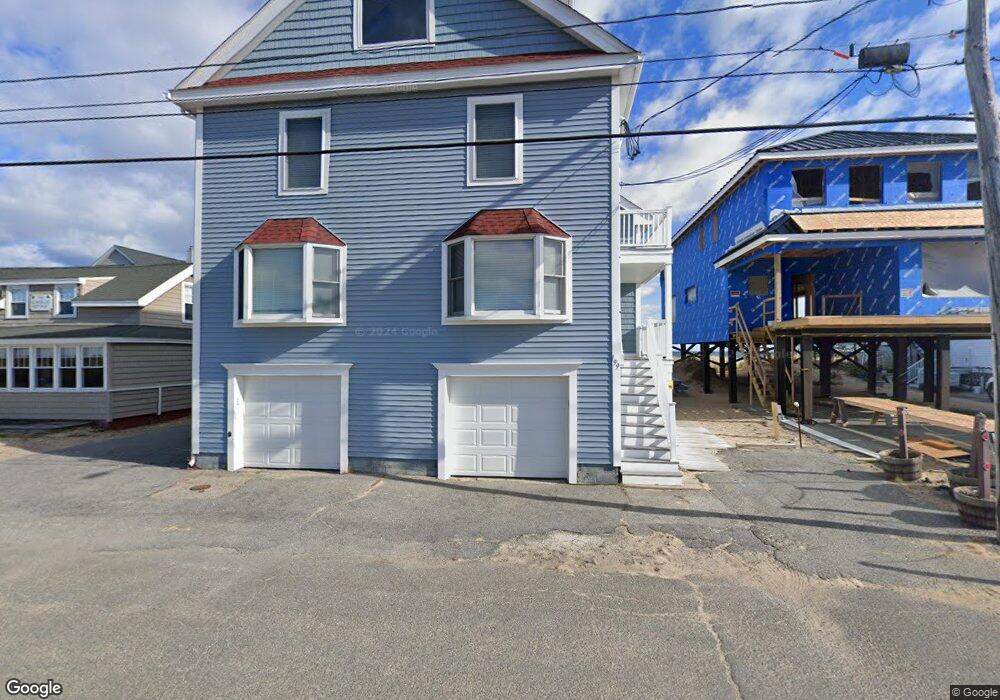
199 Atlantic Ave Unit 5 Salisbury, MA 01952
Estimated Value: $808,000
3
Beds
1
Bath
1,062
Sq Ft
$761/Sq Ft
Est. Value
About This Home
This home is located at 199 Atlantic Ave Unit 5, Salisbury, MA 01952 and is currently priced at $808,000, approximately $760 per square foot. 199 Atlantic Ave Unit 5 is a home located in Essex County with nearby schools including Triton Regional High School.
Ownership History
Date
Name
Owned For
Owner Type
Purchase Details
Closed on
Oct 1, 2008
Sold by
Holston Jane K and Soucy Jean C
Bought by
Lopiano Leo
Current Estimated Value
Home Financials for this Owner
Home Financials are based on the most recent Mortgage that was taken out on this home.
Original Mortgage
$280,000
Outstanding Balance
$187,174
Interest Rate
6.54%
Mortgage Type
Purchase Money Mortgage
Purchase Details
Closed on
Sep 27, 2004
Sold by
Holston Jane K and Mousseau Tracy A
Bought by
Holston Jane K and Soucy Jean C
Create a Home Valuation Report for This Property
The Home Valuation Report is an in-depth analysis detailing your home's value as well as a comparison with similar homes in the area
Home Values in the Area
Average Home Value in this Area
Purchase History
| Date | Buyer | Sale Price | Title Company |
|---|---|---|---|
| Lopiano Leo | $350,000 | -- | |
| Lopiano Leo | $350,000 | -- | |
| Holston Jane K | -- | -- |
Source: Public Records
Mortgage History
| Date | Status | Borrower | Loan Amount |
|---|---|---|---|
| Open | Lopiano Leo | $280,000 | |
| Closed | Lopiano Leo | $280,000 |
Source: Public Records
Tax History Compared to Growth
Tax History
| Year | Tax Paid | Tax Assessment Tax Assessment Total Assessment is a certain percentage of the fair market value that is determined by local assessors to be the total taxable value of land and additions on the property. | Land | Improvement |
|---|---|---|---|---|
| 2023 | $1,480 | $137,000 | $125,000 | $12,000 |
| 2022 | $1,525 | $136,900 | $124,900 | $12,000 |
| 2021 | $1,541 | $136,900 | $124,900 | $12,000 |
| 2020 | $4,609 | $394,500 | $0 | $394,500 |
| 2019 | $4,540 | $382,800 | $0 | $382,800 |
| 2018 | $4,263 | $361,900 | $0 | $361,900 |
| 2017 | $4,257 | $357,100 | $0 | $357,100 |
| 2016 | $4,085 | $350,000 | $0 | $350,000 |
| 2015 | $4,148 | $353,000 | $0 | $353,000 |
Source: Public Records
Map
Nearby Homes
- 141 Atlantic Ave
- 116 Railroad Ave
- 114 Railroad Ave
- 97 Atlantic Ave
- 52 Brissette Ave
- 106 Railroad Ave
- 103 Railroad Ave
- 59 Atlantic Ave Unit 4
- 47 Atlantic Ave Unit 3
- 21 Atlantic Ave Unit 5
- 11 Atlantic Ave Unit 6
- 44 Railroad Ave Unit 6
- 34 Cable Ave
- 30 Cable Ave Unit C
- 20 Cable Ave Unit 11
- 10 Meadowview Ln Unit B
- 16 N End Blvd Unit 8
- 16 N End Blvd Unit 12
- 16 N End Blvd Unit 10
- 38-40 Central Ave
- 199 Atlantic Ave Unit 4
- 199 Atlantic Ave Unit 3
- 199 Atlantic Ave Unit 2
- 199 Atlantic Ave Unit 1
- 199 Atlantic Ave
- 201 Atlantic Ave
- 197 Atlantic Ave
- 203 Atlantic Ave Unit 3
- 203 Atlantic Ave Unit 2
- 203 Atlantic Ave Unit 1
- 191 Atlantic Ave
- 189 Atlantic Ave
- 187 Atlantic Ave
- 187 Atlantic Ave Unit 1
- 187 Atlantic Ave Unit 2
- 185 Atlantic Ave Unit 2
- 185 Atlantic Ave Unit 1
- 185 Atlantic Ave Unit 1 & 2
- 185 Atlantic Ave
- 183 Atlantic Ave Unit 2