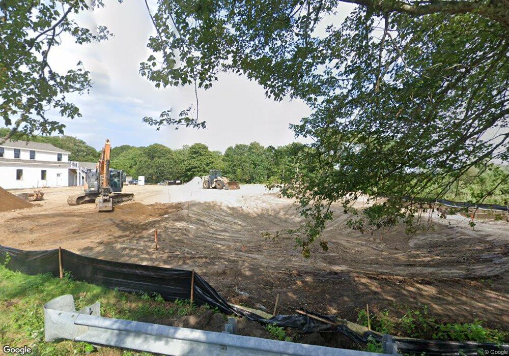
199 Bank St Harwich Port, MA 2646
Harwich Port Neighborhood
--
Bed
--
Bath
--
Sq Ft
0.72
Acres
About This Home
This home is located at 199 Bank St, Harwich Port, MA 2646. 199 Bank St is a home located in Barnstable County with nearby schools including Harwich Elementary School, Chatham Elementary School, and Monomoy Regional Middle School.
Create a Home Valuation Report for This Property
The Home Valuation Report is an in-depth analysis detailing your home's value as well as a comparison with similar homes in the area
Home Values in the Area
Average Home Value in this Area
Tax History Compared to Growth
Tax History
| Year | Tax Paid | Tax Assessment Tax Assessment Total Assessment is a certain percentage of the fair market value that is determined by local assessors to be the total taxable value of land and additions on the property. | Land | Improvement |
|---|---|---|---|---|
| 2025 | -- | $350,800 | $350,800 | $0 |
| 2024 | -- | $386,100 | $386,100 | $0 |
| 2023 | $0 | $300,800 | $300,800 | $0 |
| 2022 | $0 | $244,200 | $244,200 | $0 |
| 2021 | $0 | $198,200 | $198,200 | $0 |
| 2020 | $0 | $197,600 | $197,600 | $0 |
| 2019 | $0 | $189,900 | $189,900 | $0 |
| 2018 | $0 | $172,600 | $172,600 | $0 |
| 2017 | $0 | $157,300 | $157,300 | $0 |
| 2016 | -- | $157,300 | $157,300 | $0 |
| 2015 | -- | $154,200 | $154,200 | $0 |
| 2014 | -- | $149,600 | $149,600 | $0 |
Source: Public Records
Map
Nearby Homes
- 9 Jason Ln
- 53 Freeman St
- 15 Shannon Rd
- 303 Bank St
- 28 Dale Rd
- 15 Pleasant St Unit W24
- 44 Beriah Brooks Rd
- 116 Parallel St
- 515 Route 28
- 515 Massachusetts 28
- 106 Chatham Rd
- 135 Sisson Rd
- 21 Princes St
- 11 Windjammer Rd
- 820 Massachusetts 28
- 23 Zylpha Rd
- 4 Hope Ln
- 405 Lower County Rd Unit 21
- 405 Lower County Rd Unit 23
- 252 Chatham Rd