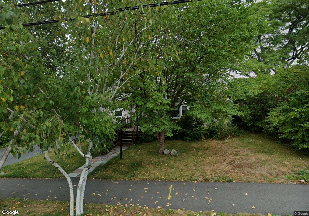
199 Barbara Rd Waltham, MA 02453
Warrendale NeighborhoodEstimated Value: $852,000 - $961,000
4
Beds
2
Baths
1,116
Sq Ft
$811/Sq Ft
Est. Value
About This Home
This home is located at 199 Barbara Rd, Waltham, MA 02453 and is currently estimated at $904,663, approximately $810 per square foot. 199 Barbara Rd is a home located in Middlesex County with nearby schools including James Fitzgerald Elementary School, John W. Mcdevitt Middle School, and Waltham Sr High School.
Ownership History
Date
Name
Owned For
Owner Type
Purchase Details
Closed on
Feb 28, 2018
Sold by
Zieman Yuri and Zieman Tanya
Bought by
Caira Jason
Current Estimated Value
Home Financials for this Owner
Home Financials are based on the most recent Mortgage that was taken out on this home.
Original Mortgage
$494,000
Outstanding Balance
$419,854
Interest Rate
4.04%
Mortgage Type
New Conventional
Estimated Equity
$484,809
Purchase Details
Closed on
Sep 3, 2010
Sold by
Zieman Yuri and Zieman Tanya
Bought by
Garibaldi Vera Z
Purchase Details
Closed on
Jan 10, 1991
Sold by
Granfield Jane A
Bought by
Zieman Yuri and Tanya Zieman
Home Financials for this Owner
Home Financials are based on the most recent Mortgage that was taken out on this home.
Original Mortgage
$114,500
Interest Rate
9.83%
Mortgage Type
Purchase Money Mortgage
Create a Home Valuation Report for This Property
The Home Valuation Report is an in-depth analysis detailing your home's value as well as a comparison with similar homes in the area
Home Values in the Area
Average Home Value in this Area
Purchase History
| Date | Buyer | Sale Price | Title Company |
|---|---|---|---|
| Caira Jason | $520,000 | -- | |
| Zieman Yuri | -- | -- | |
| Garibaldi Vera Z | -- | -- | |
| Zieman Yuri | $164,500 | -- |
Source: Public Records
Mortgage History
| Date | Status | Borrower | Loan Amount |
|---|---|---|---|
| Open | Caira Jason | $494,000 | |
| Previous Owner | Zieman Yuri | $300,000 | |
| Previous Owner | Zieman Yuri | $77,300 | |
| Previous Owner | Zieman Yuri | $114,500 |
Source: Public Records
Tax History Compared to Growth
Tax History
| Year | Tax Paid | Tax Assessment Tax Assessment Total Assessment is a certain percentage of the fair market value that is determined by local assessors to be the total taxable value of land and additions on the property. | Land | Improvement |
|---|---|---|---|---|
| 2025 | $7,130 | $726,100 | $484,000 | $242,100 |
| 2024 | $6,744 | $699,600 | $460,600 | $239,000 |
| 2023 | $6,865 | $665,200 | $437,100 | $228,100 |
| 2022 | $6,897 | $619,100 | $405,900 | $213,200 |
| 2021 | $6,852 | $605,300 | $405,900 | $199,400 |
| 2020 | $6,764 | $566,000 | $374,700 | $191,300 |
| 2019 | $6,790 | $536,300 | $366,700 | $169,600 |
| 2018 | $6,262 | $496,600 | $339,600 | $157,000 |
| 2017 | $5,844 | $496,600 | $339,600 | $157,000 |
| 2016 | $5,170 | $422,400 | $265,400 | $157,000 |
| 2015 | $4,836 | $368,300 | $234,200 | $134,100 |
Source: Public Records
Map
Nearby Homes
- 78 Barbara Rd Unit 1
- 21 Warren St Unit 2-4
- 71 Gleason St
- 253 Sycamore St Unit 253
- 266 Linden St
- 34 Cedar Hill Ln
- 59 Farnum Rd
- 51 Harrington St Unit 51
- 51 Harrington St Unit 53
- 5 Chapman St
- 63-65 Evans St
- 38 Carey Ave Unit 3
- 38 Carey Ave Unit 6
- 100 Shirley Rd
- 57 Pierce Rd Unit 57
- 1 Bridgham Ave
- 26 Brookfield Rd
- 164 Grove St
- 186 Lexington St Unit 8
- 220 Grove St Unit 1