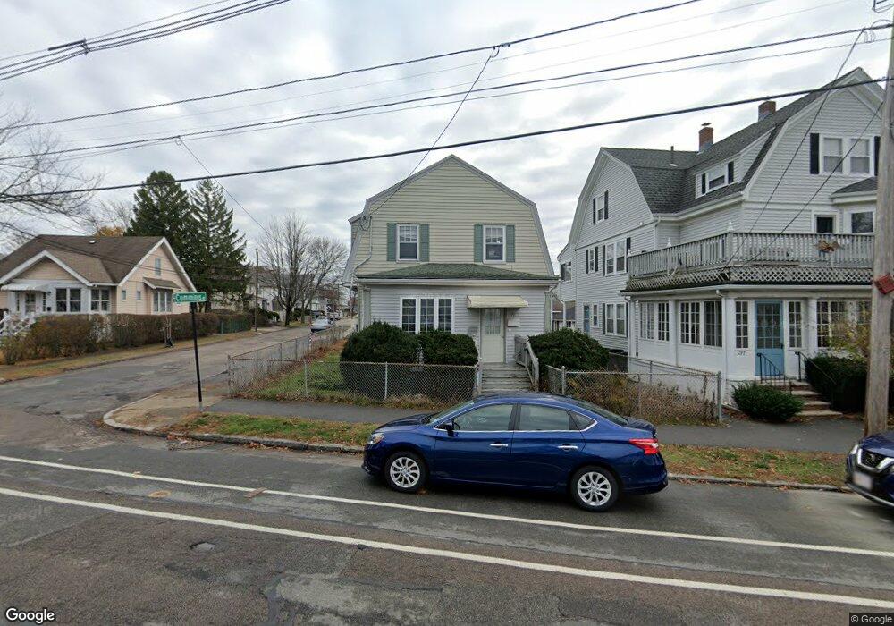
199 Billings Rd Quincy, MA 02171
Estimated Value: $751,249 - $844,000
4
Beds
1
Bath
1,381
Sq Ft
$571/Sq Ft
Est. Value
About This Home
This home is located at 199 Billings Rd, Quincy, MA 02171 and is currently estimated at $788,062, approximately $570 per square foot. 199 Billings Rd is a home located in Norfolk County with nearby schools including Francis W. Parker Elementary School, Atlantic Middle School, and North Quincy High School.
Ownership History
Date
Name
Owned For
Owner Type
Purchase Details
Closed on
May 5, 2003
Sold by
Est Paulsen Esther M and Pagano Carol L
Bought by
Chan Shu Y A and Yan Tak M
Current Estimated Value
Home Financials for this Owner
Home Financials are based on the most recent Mortgage that was taken out on this home.
Original Mortgage
$252,800
Outstanding Balance
$110,112
Interest Rate
5.82%
Mortgage Type
Purchase Money Mortgage
Estimated Equity
$677,950
Create a Home Valuation Report for This Property
The Home Valuation Report is an in-depth analysis detailing your home's value as well as a comparison with similar homes in the area
Home Values in the Area
Average Home Value in this Area
Purchase History
| Date | Buyer | Sale Price | Title Company |
|---|---|---|---|
| Chan Shu Y A | $316,000 | -- |
Source: Public Records
Mortgage History
| Date | Status | Borrower | Loan Amount |
|---|---|---|---|
| Open | Chan Shu Y A | $252,800 |
Source: Public Records
Tax History Compared to Growth
Tax History
| Year | Tax Paid | Tax Assessment Tax Assessment Total Assessment is a certain percentage of the fair market value that is determined by local assessors to be the total taxable value of land and additions on the property. | Land | Improvement |
|---|---|---|---|---|
| 2025 | $7,499 | $650,400 | $363,100 | $287,300 |
| 2024 | $7,304 | $648,100 | $363,100 | $285,000 |
| 2023 | $6,531 | $586,800 | $330,100 | $256,700 |
| 2022 | $6,224 | $519,500 | $264,100 | $255,400 |
| 2021 | $5,949 | $490,000 | $264,100 | $225,900 |
| 2020 | $5,841 | $469,900 | $258,900 | $211,000 |
| 2019 | $5,724 | $456,100 | $248,900 | $207,200 |
| 2018 | $5,656 | $424,000 | $237,100 | $186,900 |
| 2017 | $5,506 | $388,600 | $215,500 | $173,100 |
| 2016 | $5,121 | $356,600 | $195,900 | $160,700 |
| 2015 | $4,742 | $324,800 | $178,100 | $146,700 |
| 2014 | $4,611 | $310,300 | $178,100 | $132,200 |
Source: Public Records
Map
Nearby Homes
- 237 Billings Rd
- 1 Edwin St Unit C
- 158 W Elm Ave
- 26 Buckingham Rd
- 176 W Elm Ave
- 65 - 67 Davis St
- 77 Botolph St
- 43 Ellington Rd
- 101 Beach St
- 522 Hancock St
- 511 Hancock St Unit 207
- 201 Billings St
- 21 Linden St Unit 417
- 94 Newbury Ave Unit 100
- 22 Beach St
- 41 Randlett St
- 39 Fayette St Unit 102
- 143 Arlington St
- 14 Ridgeway St
- 123 Waterston Ave
- 195 Billings Rd
- 197 Billings Rd Unit One
- 195 Billings Rd Unit 3
- 195 Billings Rd Unit 2
- 191 Billings Rd
- 198 Billings Rd
- 13 Cummings Ave
- 202 Billings Rd
- 6 Royal St
- 207 Billings Rd
- 208 Billings Rd
- 12 Royal St
- 72 French St
- 14 Royal St
- 15 Cummings Ave
- 190 Billings Rd
- 215 Billings Rd
- 57 Marshall St
- 66 Marshall St
- 218 Billings Rd