Estimated Value: $262,829 - $337,000
--
Bed
3
Baths
1,197
Sq Ft
$247/Sq Ft
Est. Value
About This Home
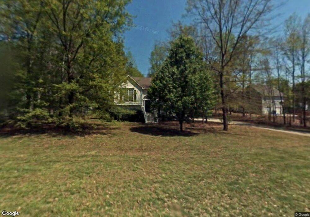
This home is located at 199 Brandon Woods Cir, Hiram, GA 30141 and is currently estimated at $295,957, approximately $247 per square foot. 199 Brandon Woods Cir is a home located in Paulding County with nearby schools including Bessie L. Baggett Elementary School, Irma C. Austin Middle School, and Hiram High School.
Ownership History
Date
Name
Owned For
Owner Type
Purchase Details
Closed on
May 10, 1999
Sold by
Nicholson John S and Nicholson Amy T
Bought by
Freeman Delbert S
Current Estimated Value
Home Financials for this Owner
Home Financials are based on the most recent Mortgage that was taken out on this home.
Original Mortgage
$108,150
Outstanding Balance
$27,481
Interest Rate
6.84%
Mortgage Type
VA
Estimated Equity
$268,476
Create a Home Valuation Report for This Property
The Home Valuation Report is an in-depth analysis detailing your home's value as well as a comparison with similar homes in the area
Home Values in the Area
Average Home Value in this Area
Purchase History
| Date | Buyer | Sale Price | Title Company |
|---|---|---|---|
| Freeman Delbert S | $105,000 | -- |
Source: Public Records
Mortgage History
| Date | Status | Borrower | Loan Amount |
|---|---|---|---|
| Open | Freeman Delbert S | $108,150 |
Source: Public Records
Tax History Compared to Growth
Tax History
| Year | Tax Paid | Tax Assessment Tax Assessment Total Assessment is a certain percentage of the fair market value that is determined by local assessors to be the total taxable value of land and additions on the property. | Land | Improvement |
|---|---|---|---|---|
| 2024 | $2,593 | $107,480 | $12,000 | $95,480 |
| 2023 | $2,925 | $114,732 | $12,000 | $102,732 |
| 2022 | $2,311 | $90,536 | $12,000 | $78,536 |
| 2021 | $1,983 | $70,092 | $10,000 | $60,092 |
| 2020 | $1,774 | $61,576 | $10,000 | $51,576 |
| 2019 | $1,909 | $65,212 | $10,000 | $55,212 |
| 2018 | $1,410 | $48,660 | $8,000 | $40,660 |
| 2017 | $1,181 | $40,528 | $8,000 | $32,528 |
| 2016 | $1,130 | $39,232 | $8,000 | $31,232 |
| 2015 | $935 | $32,220 | $8,000 | $24,220 |
| 2014 | $929 | $31,288 | $8,000 | $23,288 |
| 2013 | -- | $24,280 | $8,000 | $16,280 |
Source: Public Records
Map
Nearby Homes
- 532 Poole Bridge Rd
- 66 Charlotte Place
- 322 London Ln
- 245 London Ln
- 196 Lambeth Dr
- 1267 Austin Bridge Rd
- 232 Bethel Church Rd
- 6994 Ridge Rd
- 6652 Ridge Rd
- 81 Bridgemill Dr
- 61 Austin Bridge Ct
- 121 Lester Rd
- 461 Austin Bridge Rd
- 50 Carrington Hills
- 144 Wiley Dr
- 269 Shelby Ln
- 82 Wiley Dr
- 512 Oakbridge Dr
- 7131 Ridge Rd
- 178 Hunters Mill Dr
- 167 Brandon Woods Cir
- 229 Brandon Woods Cir
- 970 Poole Bridge Rd
- 265 Brandon Woods Cir
- 214 Brandon Woods Cir
- 153 Brandon Woods Cir
- 950 Poole Bridge Rd
- 202 Brandon Woods Cir
- 144 Brandon Woods Cir
- 182 Brandon Woods Cir
- 226 Brandon Woods Cir
- 250 Brandon Woods Cir
- 268 Brandon Woods Cir
- 234 Brandon Woods Cir
- 234 Brandon Woods Cir Unit 4
- 930 Poole Bridge Rd
- 111 Brandon Woods Cir
- 282 Brandon Woods Cir
- 112 Brandon Woods Cir
- 908 Poole Bridge Rd