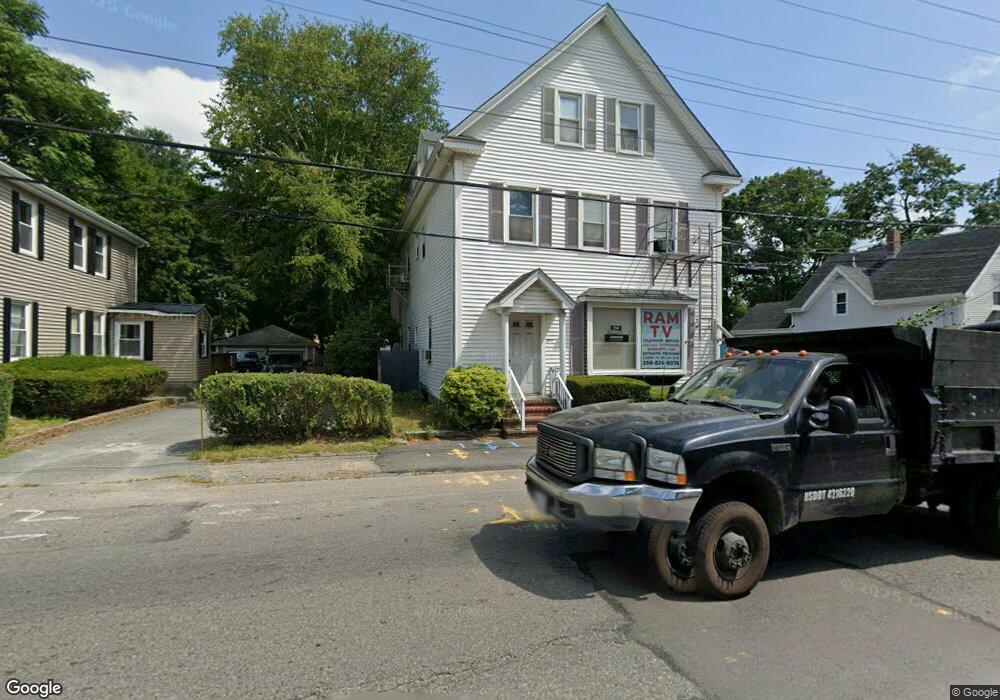
199 Broadway Taunton, MA 02780
City Center NeighborhoodEstimated Value: $657,491
--
Bed
5
Baths
3,536
Sq Ft
$186/Sq Ft
Est. Value
About This Home
This home is located at 199 Broadway, Taunton, MA 02780 and is currently estimated at $657,491, approximately $185 per square foot. 199 Broadway is a home located in Bristol County with nearby schools including Benjamin Friedman Middle School, Taunton High School, and Our Lady of Lourdes School.
Ownership History
Date
Name
Owned For
Owner Type
Purchase Details
Closed on
Sep 30, 2003
Sold by
Costa Joao and Costa Maria
Bought by
Hazel Maribeth
Current Estimated Value
Home Financials for this Owner
Home Financials are based on the most recent Mortgage that was taken out on this home.
Original Mortgage
$272,700
Outstanding Balance
$127,956
Interest Rate
6.29%
Mortgage Type
Commercial
Estimated Equity
$529,535
Create a Home Valuation Report for This Property
The Home Valuation Report is an in-depth analysis detailing your home's value as well as a comparison with similar homes in the area
Home Values in the Area
Average Home Value in this Area
Purchase History
| Date | Buyer | Sale Price | Title Company |
|---|---|---|---|
| Hazel Maribeth | $303,000 | -- |
Source: Public Records
Mortgage History
| Date | Status | Borrower | Loan Amount |
|---|---|---|---|
| Open | Hazel Maribeth | $272,700 |
Source: Public Records
Tax History Compared to Growth
Tax History
| Year | Tax Paid | Tax Assessment Tax Assessment Total Assessment is a certain percentage of the fair market value that is determined by local assessors to be the total taxable value of land and additions on the property. | Land | Improvement |
|---|---|---|---|---|
| 2025 | -- | $499,500 | $168,000 | $331,500 |
| 2024 | -- | $483,800 | $168,000 | $315,800 |
| 2023 | $0 | $402,000 | $127,400 | $274,600 |
| 2022 | $0 | $344,400 | $106,200 | $238,200 |
| 2021 | $0 | $334,700 | $96,500 | $238,200 |
| 2020 | $0 | $300,800 | $96,500 | $204,300 |
| 2019 | $8,832 | $272,200 | $96,500 | $175,700 |
| 2018 | $0 | $269,300 | $97,500 | $171,800 |
| 2017 | $0 | $262,900 | $92,400 | $170,500 |
| 2016 | -- | $260,200 | $89,700 | $170,500 |
| 2015 | -- | $246,300 | $91,400 | $154,900 |
| 2014 | -- | $246,300 | $91,400 | $154,900 |
Source: Public Records
Map
Nearby Homes
- 28 Madison St
- 27 Monroe St
- 9 Jefferson St
- 6 Makepeace Ave
- 22 John St Unit 22
- 12 Oxford St
- 37 Winter St
- 43 Avon St
- 14 Wilbur St
- 13 Benefit St
- 9 Bradford St
- 3 4th Ave
- 3 4th Ave Unit 1
- 3 4th Ave Unit 2
- 96 Danforth St Unit 49
- 30 Buffington St
- 54 Adams St
- 22 Garfield St
- 78 Arlington St Unit 2
- 78 Arlington St Unit 3
- 201 Broadway
- 195 Broadway
- 38 Jefferson St
- 40 Jefferson St
- 42 Jefferson St
- 205 Broadway
- 193 Broadway
- 198 Broadway
- 39 Madison St
- 44 Jefferson St
- 44 Jefferson St Unit 2
- 44 Jefferson St Unit 1
- 194 Broadway
- 284 Washington St
- 284 Washington St Unit 1
- 284 Washington St Unit A
- 282 Washington St
- 37 Madison St
- 209 Broadway
- 278 Washington St