199 Buckeye Cir Columbus, OH 43217
Obetz-Lockbourne NeighborhoodEstimated Value: $57,000 - $73,000
1
Bed
1
Bath
684
Sq Ft
$98/Sq Ft
Est. Value
About This Home
This home is located at 199 Buckeye Cir, Columbus, OH 43217 and is currently estimated at $67,370, approximately $98 per square foot. 199 Buckeye Cir is a home located in Franklin County with nearby schools including Hamilton Elementary School, Hamilton Intermediate School, and Hamilton Middle School.
Ownership History
Date
Name
Owned For
Owner Type
Purchase Details
Closed on
Apr 7, 2021
Sold by
Hartman Sherry L
Bought by
Zamorano Eva
Current Estimated Value
Home Financials for this Owner
Home Financials are based on the most recent Mortgage that was taken out on this home.
Original Mortgage
$40,850
Outstanding Balance
$36,883
Interest Rate
3%
Mortgage Type
New Conventional
Estimated Equity
$30,487
Purchase Details
Closed on
May 23, 2014
Sold by
Fannie Mae
Bought by
Bapst Andrew
Purchase Details
Closed on
Dec 26, 2012
Sold by
Walnut Green Condominium Assn
Bought by
Columbus Regional Airport Authority
Purchase Details
Closed on
Oct 10, 1995
Sold by
Airbase Realty Co
Bought by
Hartman Sherry L
Purchase Details
Closed on
Aug 31, 1993
Purchase Details
Closed on
Aug 26, 1992
Create a Home Valuation Report for This Property
The Home Valuation Report is an in-depth analysis detailing your home's value as well as a comparison with similar homes in the area
Home Values in the Area
Average Home Value in this Area
Purchase History
| Date | Buyer | Sale Price | Title Company |
|---|---|---|---|
| Zamorano Eva | $53,000 | First Ohio Ttl Ins Agcy Ltd | |
| Bapst Andrew | -- | Omega Title Agency Llc | |
| Columbus Regional Airport Authority | $64,087 | None Available | |
| Hartman Sherry L | $32,000 | -- | |
| -- | $800,500 | -- | |
| -- | -- | -- |
Source: Public Records
Mortgage History
| Date | Status | Borrower | Loan Amount |
|---|---|---|---|
| Open | Zamorano Eva | $40,850 |
Source: Public Records
Tax History Compared to Growth
Tax History
| Year | Tax Paid | Tax Assessment Tax Assessment Total Assessment is a certain percentage of the fair market value that is determined by local assessors to be the total taxable value of land and additions on the property. | Land | Improvement |
|---|---|---|---|---|
| 2024 | $795 | $17,400 | $5,250 | $12,150 |
| 2023 | $791 | $17,395 | $5,250 | $12,145 |
| 2022 | $454 | $8,370 | $2,030 | $6,340 |
| 2021 | $471 | $8,370 | $2,030 | $6,340 |
| 2020 | $480 | $8,370 | $2,030 | $6,340 |
| 2019 | $514 | $7,950 | $1,930 | $6,020 |
| 2018 | $550 | $7,950 | $1,930 | $6,020 |
| 2017 | $555 | $7,950 | $1,930 | $6,020 |
| 2016 | $623 | $9,380 | $1,960 | $7,420 |
| 2015 | $592 | $9,380 | $1,960 | $7,420 |
| 2014 | $589 | $9,380 | $1,960 | $7,420 |
| 2013 | $303 | $10,010 | $2,205 | $7,805 |
Source: Public Records
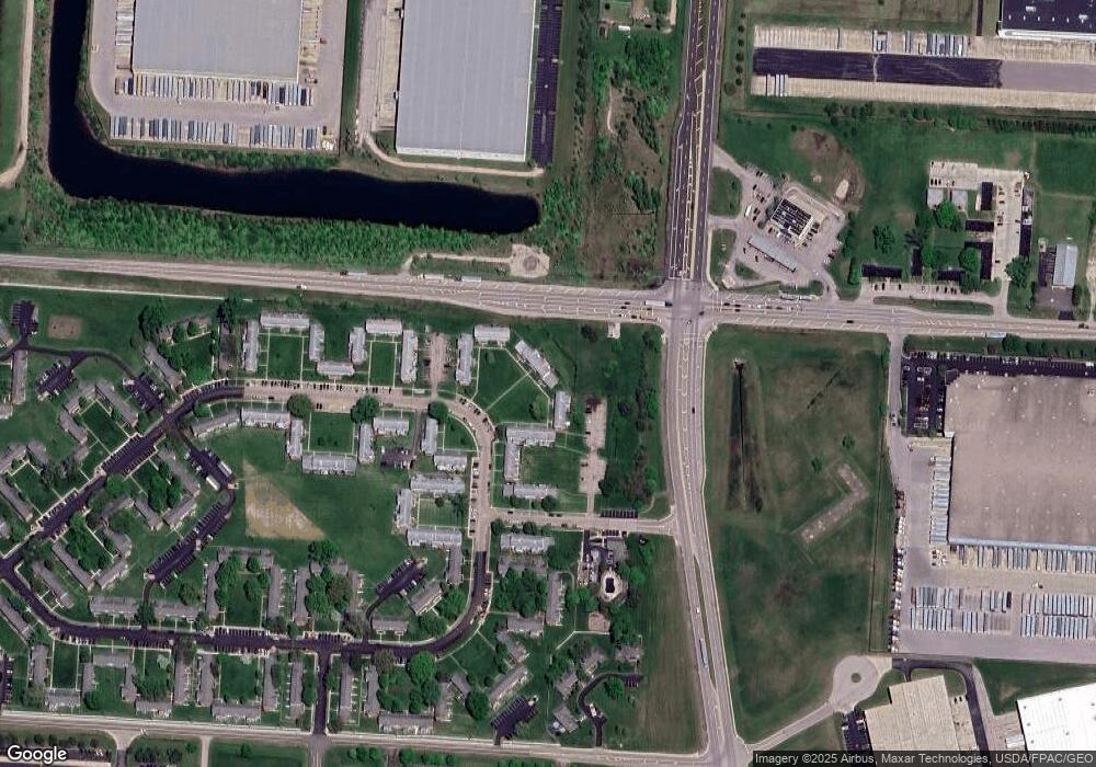
Map
Nearby Homes
- 134 Buckeye Cir Unit B132
- 4 Oak Rd Unit 4
- 3357 London Groveport Rd
- 6649 Alum Creek Dr
- 3461 Rohr Rd
- 3463 Rohr Rd
- 3450 Rohr Rd
- 3515 Rohr Rd
- 0 Pontius Rd
- 3432 London Lancaster Rd
- 64 Commerce St
- 5298 Knight St
- 11 Plumb St
- 1291 Webb Dr Unit Lot 90
- 1292 Webb Dr Unit Lot 83
- 5081 Lockbourne Rd
- 250 Green Ave
- 10610 E State Route 762
- 10610 E State Route 762 Unit Lot 82B
- 10610 E State Route 762 Unit Lot 72
- 199 Buckeye Cir Unit B199
- 197 Buckeye Cir
- 197 Buckeye Cir Unit B197
- 201 Buckeye Cir Unit B
- 201 Buckeye Cir
- 195 Buckeye Cir Unit B195
- 203 Buckeye Cir
- 193 Buckeye Cir Unit 5B193
- 205 Buckeye Cir
- 205 Buckeye Cir
- 191 Buckeye Cir Unit B191
- 207 Buckeye Cir Unit B
- 189 Buckeye Cir
- 189 Buckeye Cir Unit B189
- 209 Buckeye Cir
- 211 Buckeye Cir Unit B211
- 213 Buckeye Cir
- 215 Buckeye Cir Unit B215
- 217 Buckeye Cir Unit B217
- 219 Buckeye Cir Unit B129