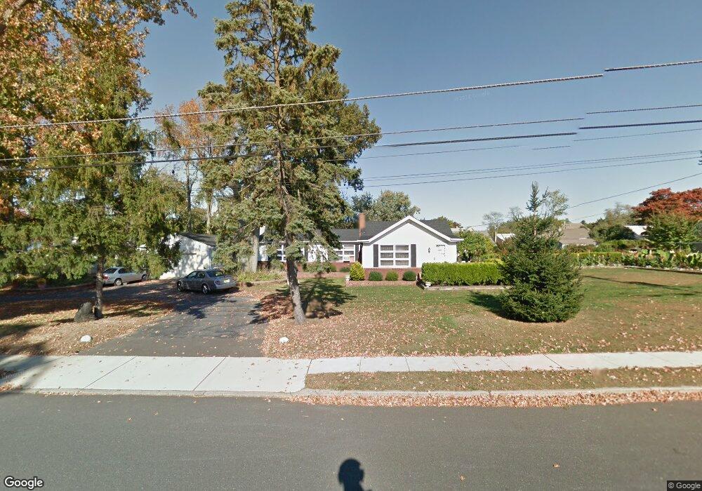
199 Clinton Ave Eatontown, NJ 07724
Estimated Value: $604,000 - $761,602
3
Beds
2
Baths
1,779
Sq Ft
$398/Sq Ft
Est. Value
About This Home
This home is located at 199 Clinton Ave, Eatontown, NJ 07724 and is currently estimated at $707,901, approximately $397 per square foot. 199 Clinton Ave is a home located in Monmouth County with nearby schools including Meadowbrook Elementary, Memorial Middle School, and Ranney School.
Ownership History
Date
Name
Owned For
Owner Type
Purchase Details
Closed on
Jan 4, 1997
Sold by
Behlendorp Jack
Bought by
Santana Miguel and Enriquetta Santana
Current Estimated Value
Home Financials for this Owner
Home Financials are based on the most recent Mortgage that was taken out on this home.
Original Mortgage
$67,000
Outstanding Balance
$7,086
Interest Rate
7.46%
Estimated Equity
$700,815
Create a Home Valuation Report for This Property
The Home Valuation Report is an in-depth analysis detailing your home's value as well as a comparison with similar homes in the area
Home Values in the Area
Average Home Value in this Area
Purchase History
| Date | Buyer | Sale Price | Title Company |
|---|---|---|---|
| Santana Miguel | $157,500 | -- |
Source: Public Records
Mortgage History
| Date | Status | Borrower | Loan Amount |
|---|---|---|---|
| Open | Santana Miguel | $67,000 |
Source: Public Records
Tax History Compared to Growth
Tax History
| Year | Tax Paid | Tax Assessment Tax Assessment Total Assessment is a certain percentage of the fair market value that is determined by local assessors to be the total taxable value of land and additions on the property. | Land | Improvement |
|---|---|---|---|---|
| 2025 | $11,651 | $658,400 | $404,600 | $253,800 |
| 2024 | $11,260 | $622,400 | $382,900 | $239,500 |
| 2023 | $11,260 | $571,300 | $352,900 | $218,400 |
| 2022 | $9,159 | $507,500 | $311,100 | $196,400 |
| 2021 | $9,159 | $427,700 | $252,000 | $175,700 |
| 2020 | $9,405 | $412,500 | $242,000 | $170,500 |
| 2019 | $9,277 | $407,400 | $242,000 | $165,400 |
| 2018 | $8,853 | $383,100 | $227,000 | $156,100 |
| 2017 | $8,530 | $382,000 | $227,000 | $155,000 |
| 2016 | $8,581 | $393,100 | $237,000 | $156,100 |
| 2015 | $8,496 | $382,200 | $222,000 | $160,200 |
| 2014 | $7,989 | $354,100 | $212,000 | $142,100 |
Source: Public Records
Map
Nearby Homes
- 34 Kremer Ave
- 105 White St Unit D
- 57 White St Unit D
- 99C White St
- 104 South St
- 72 White St Unit A
- 74 Reynolds Dr
- 11 Schuber Place
- 49 Laurel Place Unit A
- 333 Broad St
- 32 Villa Place
- 17 Emma Place
- 19 Emma Place
- 36 Emma Place
- 217 Wyckoff Rd
- 164 Tinton Ave
- 5 Waverly Ct
- 100 Parker Rd
- 58 Monmouth Rd
- 172 Eagle Way
- 194 Clinton Ave
- 181 Clinton Ave
- 184 Clinton Ave
- 205 Clinton Ave
- 34 Pearce Ave
- 169 Clinton Ave
- 36 Pearce Ave
- 32 Pearce Ave
- 198 Clinton Ave
- 30 Pearce Ave
- 38 Pearce Ave
- 201 Conifer Crest Way
- 28 Pearce Ave
- 209 Clinton Ave
- 204 Clinton Ave
- 155 Clinton Ave
- 40 Pearce Ave
- 26 Pearce Ave
- 200 Conifer Crest Way
- 210 Clinton Ave