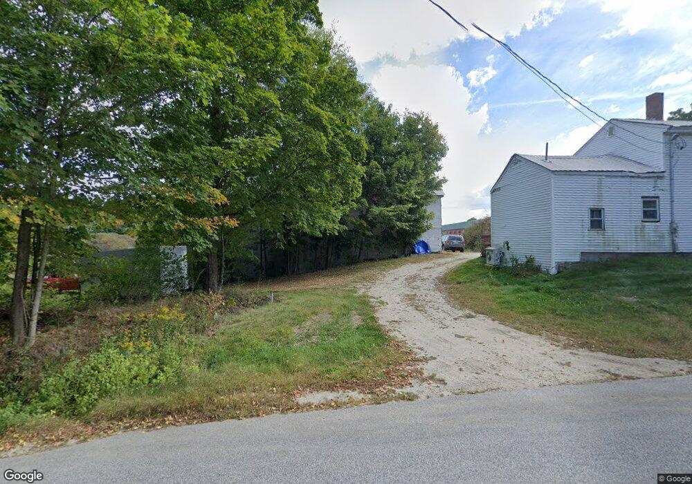
199 Cobbs Bridge Rd New Gloucester, ME 04260
Estimated Value: $512,000 - $621,707
4
Beds
1
Bath
1,944
Sq Ft
$298/Sq Ft
Est. Value
About This Home
This home is located at 199 Cobbs Bridge Rd, New Gloucester, ME 04260 and is currently estimated at $578,569, approximately $297 per square foot. 199 Cobbs Bridge Rd is a home located in Cumberland County with nearby schools including Gray-New Gloucester High School.
Ownership History
Date
Name
Owned For
Owner Type
Purchase Details
Closed on
Jul 18, 2011
Sold by
Mulcahy James D and Mulcahy Patricia
Bought by
Gushee Daryl D and Gushee Sandra L
Current Estimated Value
Create a Home Valuation Report for This Property
The Home Valuation Report is an in-depth analysis detailing your home's value as well as a comparison with similar homes in the area
Home Values in the Area
Average Home Value in this Area
Purchase History
| Date | Buyer | Sale Price | Title Company |
|---|---|---|---|
| Gushee Daryl D | -- | -- |
Source: Public Records
Tax History Compared to Growth
Tax History
| Year | Tax Paid | Tax Assessment Tax Assessment Total Assessment is a certain percentage of the fair market value that is determined by local assessors to be the total taxable value of land and additions on the property. | Land | Improvement |
|---|---|---|---|---|
| 2025 | $5,873 | $379,665 | $153,000 | $226,665 |
| 2024 | $5,653 | $379,665 | $153,000 | $226,665 |
| 2023 | $5,425 | $379,665 | $153,000 | $226,665 |
| 2022 | $5,239 | $379,665 | $153,000 | $226,665 |
| 2021 | $4,938 | $357,816 | $131,151 | $226,665 |
| 2020 | $4,884 | $357,816 | $131,151 | $226,665 |
| 2019 | $5,465 | $323,400 | $120,200 | $203,200 |
| 2018 | $5,119 | $324,000 | $120,800 | $203,200 |
| 2017 | $5,051 | $323,800 | $120,600 | $203,200 |
| 2016 | $4,758 | $323,700 | $120,500 | $203,200 |
| 2015 | $4,726 | $322,600 | $119,400 | $203,200 |
| 2014 | $4,679 | $322,700 | $119,500 | $203,200 |
| 2013 | $4,340 | $322,700 | $119,500 | $203,200 |
Source: Public Records
Map
Nearby Homes
- 164 Intervale Rd
- 10 Cobbs Bridge Rd
- 200 Woodman Rd
- 12 Country Charm Ln
- 160 Gloucester Hill Rd
- 155 & 151 Gloucester Hill Rd
- 0018-C Gloucester Hill Rd
- 10-56 C&E Bowdoin Way
- 22 Shaw Rd
- 271 Bennett Rd
- 24 Swamp Rd
- 29 Rockwood Dr
- TBD Targett Rd
- 832 Old Danville Rd
- 161 Beaver Dam Dr
- 10 Spring Valley Ln
- 14 Golden Way
- 059-007 Soper's Mill Rd
- 423 Sabbathday Rd
- 65 Blueberry Ln
- 199 Cobbs Bridge Rd
- 0 Belgian Unit 845389
- 0 Belgian Unit 705906
- 0 Belgian Unit 988753
- 0 Belgian Unit 957685
- 199A Cobbs Bridge Rd
- 213 Cobbs Bridge Rd
- 5 Belgian Way
- 18 Belgian Way
- 201 Cobbs Bridge Rd
- 26 Belgian Way
- 0 Cobbs Bridge Rd
- 32 Belgian Way
- 288 Rowe Station Rd
- 167 Cobbs Bridge Rd
- 7 Sally Ln
- 170 Cobbs Bridge Rd
- 3 Merrill Farm Rd
- 11 Sally Ln
- 199 Cobb's Bridge