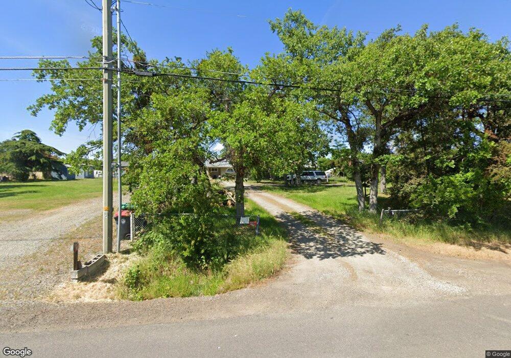
199 E Gregory Rd Central Point, OR 97502
Estimated Value: $367,843 - $628,000
4
Beds
2
Baths
1,802
Sq Ft
$270/Sq Ft
Est. Value
About This Home
This home is located at 199 E Gregory Rd, Central Point, OR 97502 and is currently estimated at $486,281, approximately $269 per square foot. 199 E Gregory Rd is a home located in Jackson County with nearby schools including Sams Valley Elementary School, Scenic Middle School, and Crater High School.
Ownership History
Date
Name
Owned For
Owner Type
Purchase Details
Closed on
Oct 16, 2020
Sold by
Dee James
Bought by
Dee Family Trust
Current Estimated Value
Purchase Details
Closed on
May 11, 2016
Sold by
Kilpatrick Charles R
Bought by
Dee Jim
Purchase Details
Closed on
Dec 29, 2009
Sold by
Federal National Mortgage Association
Bought by
Kilpatrick Charles R
Home Financials for this Owner
Home Financials are based on the most recent Mortgage that was taken out on this home.
Original Mortgage
$185,000
Interest Rate
4.78%
Mortgage Type
VA
Purchase Details
Closed on
May 11, 2009
Sold by
Crocker Russell A
Bought by
Suntrust Mortgage Inc
Purchase Details
Closed on
Apr 1, 2009
Sold by
Suntrust Mortgage Inc
Bought by
Federal National Mortgage Association
Purchase Details
Closed on
Feb 7, 2007
Sold by
Crocker Russell A and Crocker Kelly R
Bought by
Crocker Russell A
Home Financials for this Owner
Home Financials are based on the most recent Mortgage that was taken out on this home.
Original Mortgage
$222,000
Interest Rate
6.17%
Mortgage Type
New Conventional
Purchase Details
Closed on
Jul 12, 2001
Sold by
Crocker Russell A
Bought by
Crocker Russell A and Crocker Kelly R
Home Financials for this Owner
Home Financials are based on the most recent Mortgage that was taken out on this home.
Original Mortgage
$105,800
Interest Rate
7.15%
Purchase Details
Closed on
May 30, 2001
Sold by
Crocker Russell A and Crocker Kelly
Bought by
Crocker Russell A
Home Financials for this Owner
Home Financials are based on the most recent Mortgage that was taken out on this home.
Original Mortgage
$105,800
Interest Rate
7.15%
Purchase Details
Closed on
Apr 22, 1999
Sold by
Long Betty J
Bought by
Crocker Russell A
Home Financials for this Owner
Home Financials are based on the most recent Mortgage that was taken out on this home.
Original Mortgage
$78,000
Interest Rate
7.1%
Mortgage Type
Balloon
Create a Home Valuation Report for This Property
The Home Valuation Report is an in-depth analysis detailing your home's value as well as a comparison with similar homes in the area
Purchase History
| Date | Buyer | Sale Price | Title Company |
|---|---|---|---|
| Dee Family Trust | -- | None Listed On Document | |
| Dee Jim | $150,000 | None Available | |
| Kilpatrick Charles R | $185,000 | Ticor Title | |
| Suntrust Mortgage Inc | $243,756 | Fa | |
| Federal National Mortgage Association | -- | Fa | |
| Crocker Russell A | -- | Lawyers Title Insurance Corp | |
| Crocker Russell A | -- | -- | |
| Crocker Russell A | -- | Lawyers Title Insurance Corp | |
| Crocker Russell A | $97,500 | Crater Title Insurance |
Source: Public Records
Mortgage History
| Date | Status | Borrower | Loan Amount |
|---|---|---|---|
| Previous Owner | Kilpatrick Charles R | $185,000 | |
| Previous Owner | Crocker Russell A | $222,000 | |
| Previous Owner | Crocker Russell A | $105,800 | |
| Previous Owner | Crocker Russell A | $78,000 | |
| Closed | Crocker Russell A | $19,500 |
Source: Public Records
Tax History
| Year | Tax Paid | Tax Assessment Tax Assessment Total Assessment is a certain percentage of the fair market value that is determined by local assessors to be the total taxable value of land and additions on the property. | Land | Improvement |
|---|---|---|---|---|
| 2026 | $2,149 | $176,020 | -- | -- |
| 2025 | $2,100 | $170,900 | $100,900 | $70,000 |
| 2024 | $2,100 | $165,930 | $60,580 | $105,350 |
| 2023 | $2,414 | $161,100 | $58,810 | $102,290 |
| 2022 | $2,356 | $161,100 | $58,810 | $102,290 |
| 2021 | $2,247 | $156,410 | $57,100 | $99,310 |
| 2020 | $1,874 | $151,860 | $55,430 | $96,430 |
| 2019 | $1,831 | $143,150 | $52,240 | $90,910 |
| 2018 | $1,774 | $138,990 | $50,720 | $88,270 |
| 2017 | $1,732 | $138,990 | $50,720 | $88,270 |
| 2016 | $1,682 | $131,020 | $47,800 | $83,220 |
| 2015 | $1,604 | $131,020 | $47,800 | $83,220 |
| 2014 | $1,565 | $123,510 | $45,060 | $78,450 |
Source: Public Records
Map
Nearby Homes
- 380 W Gregory Rd Unit 1
- 594 W Gregory Rd
- 1729 E Gregory Rd
- 6850 Downing Rd Unit 11
- 6850 Downing Rd Unit SPC 31
- 6850 Downing Rd Unit 7
- 6850 Downing Rd Unit 25
- 6850 Downing Rd Unit 65
- 225 Wilson Rd
- 549 Wilson Rd
- 2460 Jeremy St
- 1617 Tennessee Ln
- 1653 Kentucky Ct
- 2335 New Haven Dr
- 2311 Lara Ln
- 1917 Bobcat Way
- 4824 Airway Dr Unit 371W06BB410
- 1921 Bobcat Way
- 4676 Industry Dr
- 10068 SE Pavati Dr Unit 37
- 215 E Gregory Rd
- 187 E Gregory Rd
- 233 E Gregory Rd
- 6569 Oakhurst St
- 6524 Pinehurst St
- 208 E Gregory Rd
- 161 E Gregory Rd
- 186 E Gregory Rd
- 6550 Pinehurst St
- 230 E Gregory Rd
- 176 E Gregory Rd
- 6589 Oakhurst St
- 6570 Pinehurst St
- 6590 Pinehurst St
- 6607 Oakhurst St
- 6625 Oakhurst St
- 93 E Gregory Rd
- 6569 Pinehurst St
- 6589 Pinehurst St
- 6607 Pinehurst St
Your Personal Tour Guide
Ask me questions while you tour the home.