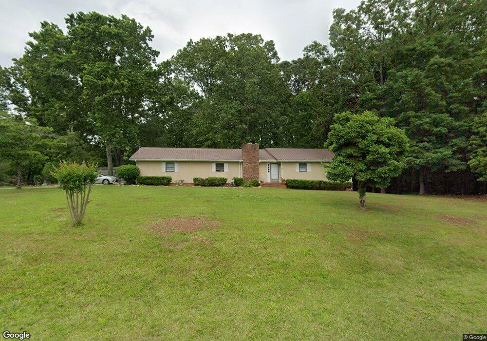
199 E Miles Rd Carrollton, GA 30116
Estimated Value: $223,000 - $293,000
3
Beds
2
Baths
1,552
Sq Ft
$160/Sq Ft
Est. Value
About This Home
This home is located at 199 E Miles Rd, Carrollton, GA 30116 and is currently estimated at $249,007, approximately $160 per square foot. 199 E Miles Rd is a home located in Carroll County with nearby schools including Whitesburg Elementary School, Central Middle School, and Central High School.
Ownership History
Date
Name
Owned For
Owner Type
Purchase Details
Closed on
Sep 13, 2017
Sold by
Key Mike
Bought by
Horsley Pamela
Current Estimated Value
Purchase Details
Closed on
Dec 18, 2000
Sold by
Key Sue H
Bought by
Clark Sue H
Purchase Details
Closed on
Sep 28, 1978
Sold by
Key John C and Key Sue
Bought by
Key Sue H
Purchase Details
Closed on
Jun 19, 1978
Sold by
Key Michael Allen
Bought by
Key John C and Key Sue
Create a Home Valuation Report for This Property
The Home Valuation Report is an in-depth analysis detailing your home's value as well as a comparison with similar homes in the area
Home Values in the Area
Average Home Value in this Area
Purchase History
| Date | Buyer | Sale Price | Title Company |
|---|---|---|---|
| Horsley Pamela | -- | -- | |
| Horsley Pamela | $44,725 | -- | |
| Clark Sue H | -- | -- | |
| Key Sue H | -- | -- | |
| Key John C | $2,900 | -- |
Source: Public Records
Tax History
| Year | Tax Paid | Tax Assessment Tax Assessment Total Assessment is a certain percentage of the fair market value that is determined by local assessors to be the total taxable value of land and additions on the property. | Land | Improvement |
|---|---|---|---|---|
| 2025 | $1,682 | $75,207 | $2,680 | $72,527 |
| 2024 | $1,701 | $75,207 | $2,680 | $72,527 |
| 2023 | $1,701 | $68,685 | $2,680 | $66,005 |
| 2022 | $1,396 | $55,658 | $2,680 | $52,978 |
| 2021 | $1,234 | $48,144 | $2,680 | $45,464 |
| 2020 | $1,117 | $43,504 | $2,680 | $40,824 |
| 2019 | $1,050 | $40,565 | $2,680 | $37,885 |
| 2018 | $846 | $32,225 | $2,680 | $29,545 |
| 2017 | $849 | $32,225 | $2,680 | $29,545 |
| 2016 | $849 | $32,225 | $2,680 | $29,545 |
| 2015 | $781 | $27,911 | $4,000 | $23,911 |
| 2014 | $169 | $27,911 | $4,000 | $23,911 |
Source: Public Records
Map
Nearby Homes
- 240 W Miles Rd
- 200 Heath Rd
- 00 Heath Rd
- 0 Heath Rd Unit 20173471
- 3511 S 16 Hwy
- 70 Happy Hill Rd
- 755 Crews Rd
- 419 Tommy Thompson Way
- 255 Sally Duke Dr
- 0 Hwy 166 E Unit 10706940
- 0 Hwy 166 E Unit 7732324
- 0 Bankhead Hwy and Sassafras Unit 202
- 0 Clem Lowell Rd Unit 10479926
- 0 Clem Lowell Rd Unit 147578
- 0 Clem Lowell Rd Unit 7630669
- 143 Oak Leaf Dr Unit 163
- 143 Oak Leaf Dr
- 229 Emma Gilley Dr
- 333 Davis Rd
- 201 Overton Point
- 0 E Miles Rd Unit 8947846
- 0 E Miles Rd Unit 20029034
- 0 E Miles Rd Unit 8947231
- E E Miles Rd
- 215 E Miles Rd
- 202 E Miles Rd
- 177 E Miles Rd
- 205 E Miles Rd
- 186 E Miles Rd
- 225 E Miles Rd
- 220 E Miles Rd
- 310 W Miles Rd
- 290 W Miles Rd
- 171 E Miles Rd
- 232 E Miles Rd
- 335 W Miles Rd
- W W Miles Rd Unit 1,2,3
- W W Miles Rd Unit LOTS
- W W Miles Rd
- 321 W Miles Rd
Your Personal Tour Guide
Ask me questions while you tour the home.