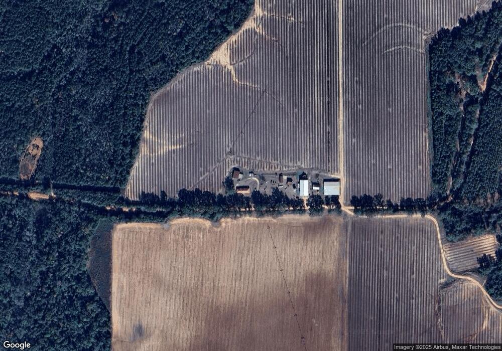
199 Foy Arnold Rd Shellman, GA 39886
Estimated Value: $179,000 - $230,000
3
Beds
2
Baths
2,272
Sq Ft
$87/Sq Ft
Est. Value
About This Home
This home is located at 199 Foy Arnold Rd, Shellman, GA 39886 and is currently estimated at $197,967, approximately $87 per square foot. 199 Foy Arnold Rd is a home located in Randolph County with nearby schools including Randolph County Elementary School, Randolph Clay Middle School, and Randolph Clay High School.
Ownership History
Date
Name
Owned For
Owner Type
Purchase Details
Closed on
Sep 5, 2017
Sold by
Arnold Robert F
Bought by
Arnold Jim A
Current Estimated Value
Home Financials for this Owner
Home Financials are based on the most recent Mortgage that was taken out on this home.
Original Mortgage
$130,500
Outstanding Balance
$111,720
Interest Rate
4.88%
Mortgage Type
New Conventional
Estimated Equity
$86,247
Purchase Details
Closed on
Dec 1, 2015
Sold by
Arnold Florence A
Bought by
Arnold Jim A and Arnold Robert F
Create a Home Valuation Report for This Property
The Home Valuation Report is an in-depth analysis detailing your home's value as well as a comparison with similar homes in the area
Purchase History
| Date | Buyer | Sale Price | Title Company |
|---|---|---|---|
| Arnold Jim A | -- | -- | |
| Arnold Jim A | -- | -- | |
| Arnold Jim A | -- | -- | |
| Arnold Jim A | -- | -- |
Source: Public Records
Mortgage History
| Date | Status | Borrower | Loan Amount |
|---|---|---|---|
| Open | Arnold Jim A | $130,500 | |
| Closed | Arnold Jim A | $130,500 |
Source: Public Records
Tax History
| Year | Tax Paid | Tax Assessment Tax Assessment Total Assessment is a certain percentage of the fair market value that is determined by local assessors to be the total taxable value of land and additions on the property. | Land | Improvement |
|---|---|---|---|---|
| 2024 | $2,366 | $60,840 | $1,600 | $59,240 |
| 2023 | $2,082 | $60,840 | $1,600 | $59,240 |
| 2022 | $2,082 | $60,840 | $1,600 | $59,240 |
| 2021 | $1,344 | $39,418 | $1,605 | $37,813 |
| 2020 | $1,385 | $39,418 | $1,605 | $37,813 |
| 2019 | $1,382 | $39,418 | $1,605 | $37,813 |
| 2018 | $914 | $25,893 | $1,605 | $24,288 |
| 2017 | $918 | $25,893 | $1,605 | $24,288 |
| 2016 | $377 | $25,453 | $1,166 | $24,288 |
| 2015 | -- | $25,453 | $1,166 | $24,288 |
| 2014 | -- | $27,102 | $1,166 | $25,936 |
| 2013 | -- | $27,102 | $1,165 | $25,936 |
Source: Public Records
Map
Nearby Homes
- 0 Cattle Gap Rd
- 109 Cattle Gap Rd
- 2055 Payne Pond Rd
- Sam Bentley Rd
- 0 Benevolence Hwy Unit 26314983
- Pierce Rd
- 540 Veneys Mill Pond Rd
- 886 Mound Rd
- 161 College St
- 162 College St SW
- 0 Main St
- 109 Main St
- 318 Church St
- 48 Cheney St
- 3109 Calhoun St
- 0 Carver St
- 0 Kennedy Pond Rd Unit 26349109
- 0 Kennedy Pond Rd Unit 10694803
- XX2 Us-27
- Old Spring Rd
Your Personal Tour Guide
Ask me questions while you tour the home.